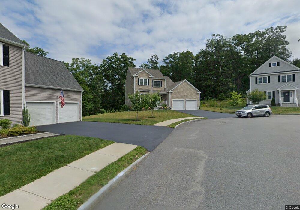
57 Westview Ave Millbury, MA 01527
Estimated Value: $591,000 - $685,000
3
Beds
3
Baths
1,889
Sq Ft
$343/Sq Ft
Est. Value
About This Home
This home is located at 57 Westview Ave, Millbury, MA 01527 and is currently estimated at $647,273, approximately $342 per square foot. 57 Westview Ave is a home with nearby schools including Elmwood Street Elementary School, Raymond E. Shaw Elementary School, and Millbury Junior/Senior High School.
Ownership History
Date
Name
Owned For
Owner Type
Purchase Details
Closed on
Dec 29, 2017
Sold by
Hayr Llc
Bought by
Raymond Kitty
Current Estimated Value
Home Financials for this Owner
Home Financials are based on the most recent Mortgage that was taken out on this home.
Original Mortgage
$250,000
Outstanding Balance
$137,658
Interest Rate
3.31%
Mortgage Type
New Conventional
Estimated Equity
$509,615
Create a Home Valuation Report for This Property
The Home Valuation Report is an in-depth analysis detailing your home's value as well as a comparison with similar homes in the area
Home Values in the Area
Average Home Value in this Area
Purchase History
| Date | Buyer | Sale Price | Title Company |
|---|---|---|---|
| Raymond Kitty | $410,090 | -- | |
| Raymond Kitty | $410,090 | -- |
Source: Public Records
Mortgage History
| Date | Status | Borrower | Loan Amount |
|---|---|---|---|
| Open | Raymond Kitty | $250,000 | |
| Closed | Raymond Kitty | $250,000 |
Source: Public Records
Tax History Compared to Growth
Tax History
| Year | Tax Paid | Tax Assessment Tax Assessment Total Assessment is a certain percentage of the fair market value that is determined by local assessors to be the total taxable value of land and additions on the property. | Land | Improvement |
|---|---|---|---|---|
| 2025 | $7,903 | $590,200 | $133,600 | $456,600 |
| 2024 | $7,253 | $548,200 | $123,800 | $424,400 |
| 2023 | $6,936 | $480,000 | $86,800 | $393,200 |
| 2022 | $6,201 | $413,400 | $83,300 | $330,100 |
| 2021 | $4,942 | $394,800 | $83,300 | $311,500 |
| 2020 | $5,965 | $389,100 | $83,300 | $305,800 |
| 2019 | $4,618 | $357,500 | $63,100 | $294,400 |
| 2018 | $2,910 | $18,930 | $18,930 | $0 |
| 2017 | $8,494 | $18,930 | $18,930 | $0 |
Source: Public Records
Map
Nearby Homes
- 12 Irene Ct
- 27 A-B Grafton St
- 3 Stidsen Way
- 11 Westview Ave
- 11 Maplewood Rd
- 232 Weatherstone Dr
- 76 Weatherstone Dr
- 1 Pineland Ave
- 86 Wheelock Ave
- 2 Diane St
- 1 Broadmeadow Ave
- 497 Massasoit Rd
- 330 Millbury Ave
- 3 May St
- 1203 Grafton St Unit 38
- 1201 Grafton St Unit 73
- 1195 Grafton St Unit 3
- 1199 Grafton St Unit 93
- 31 Crane St
- 11 Margin St