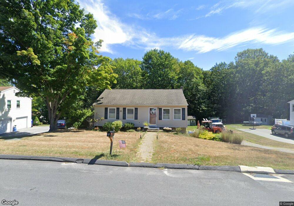
57 Winesap Run Torrington, CT 06790
Estimated Value: $265,390 - $291,000
3
Beds
1
Bath
936
Sq Ft
$295/Sq Ft
Est. Value
About This Home
This home is located at 57 Winesap Run, Torrington, CT 06790 and is currently estimated at $276,348, approximately $295 per square foot. 57 Winesap Run is a home located in Litchfield County with nearby schools including Torrington Middle School, Torrington High School, and St. John Paul the Great Academy.
Ownership History
Date
Name
Owned For
Owner Type
Purchase Details
Closed on
Dec 1, 1998
Sold by
Chase Manhattan Mtg
Bought by
Department Of Housing & Urban Dev
Current Estimated Value
Purchase Details
Closed on
Jan 31, 1989
Sold by
Dupre Joel
Bought by
Parikh Arvind
Home Financials for this Owner
Home Financials are based on the most recent Mortgage that was taken out on this home.
Original Mortgage
$101,500
Interest Rate
10.66%
Purchase Details
Closed on
Mar 13, 1987
Sold by
Lambertson Tracy A
Bought by
Dupre Joel P
Home Financials for this Owner
Home Financials are based on the most recent Mortgage that was taken out on this home.
Original Mortgage
$94,900
Interest Rate
9.01%
Create a Home Valuation Report for This Property
The Home Valuation Report is an in-depth analysis detailing your home's value as well as a comparison with similar homes in the area
Home Values in the Area
Average Home Value in this Area
Purchase History
| Date | Buyer | Sale Price | Title Company |
|---|---|---|---|
| Department Of Housing & Urban Dev | $100,633 | -- | |
| Parikh Arvind | $116,000 | -- | |
| Dupre Joel P | $99,900 | -- |
Source: Public Records
Mortgage History
| Date | Status | Borrower | Loan Amount |
|---|---|---|---|
| Previous Owner | Dupre Joel P | $101,250 | |
| Previous Owner | Dupre Joel P | $101,500 | |
| Previous Owner | Dupre Joel P | $94,900 |
Source: Public Records
Tax History Compared to Growth
Tax History
| Year | Tax Paid | Tax Assessment Tax Assessment Total Assessment is a certain percentage of the fair market value that is determined by local assessors to be the total taxable value of land and additions on the property. | Land | Improvement |
|---|---|---|---|---|
| 2025 | $6,061 | $157,640 | $35,490 | $122,150 |
| 2024 | $3,986 | $83,100 | $29,030 | $54,070 |
| 2023 | $3,985 | $83,100 | $29,030 | $54,070 |
| 2022 | $3,917 | $83,100 | $29,030 | $54,070 |
| 2021 | $3,837 | $83,100 | $29,030 | $54,070 |
| 2020 | $3,837 | $83,100 | $29,030 | $54,070 |
| 2019 | $3,978 | $86,160 | $32,250 | $53,910 |
| 2018 | $3,978 | $86,160 | $32,250 | $53,910 |
| 2017 | $3,942 | $86,160 | $32,250 | $53,910 |
| 2016 | $3,942 | $86,160 | $32,250 | $53,910 |
| 2015 | $3,942 | $86,160 | $32,250 | $53,910 |
| 2014 | $3,932 | $108,270 | $43,660 | $64,610 |
Source: Public Records
Map
Nearby Homes
- 271 Heights Dr
- 5 Zappulla Dr
- 361 Heights Dr
- 237 Wyoming Ave
- 130 Oakbrook Ln
- 136 Wyoming Ave
- 244 Hawthorne Terrace
- 0 Highland Ave Unit 24088105
- 206 Martha St
- 152 Funston Ave
- 0 Peck Rd
- 231 Beechwood Ave
- 77 Chestnut Ave
- 69 Johnson St
- 49 Chestnut Ave
- 75 Maple St
- 264 Allen Rd
- 21 Roosevelt Ave
- 116 Johnson St
- 971 New Litchfield St