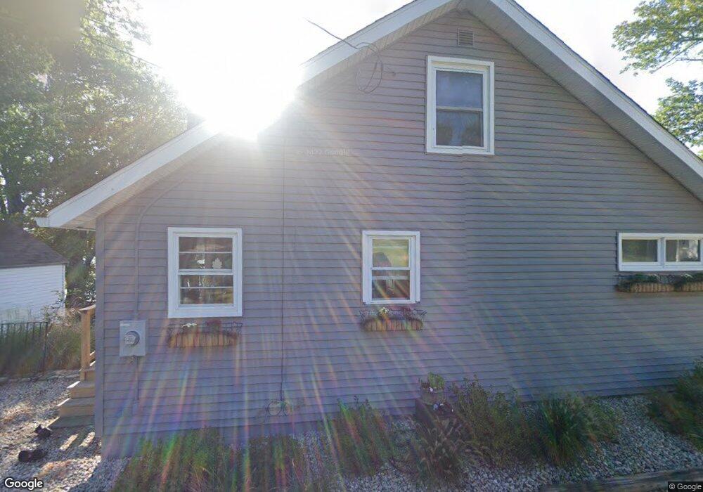
57 Woolford Rd Wrentham, MA 02093
Estimated Value: $644,000 - $746,000
2
Beds
1
Bath
900
Sq Ft
$755/Sq Ft
Est. Value
About This Home
This home is located at 57 Woolford Rd, Wrentham, MA 02093 and is currently estimated at $679,616, approximately $755 per square foot. 57 Woolford Rd is a home located in Norfolk County with nearby schools including Delaney Elementary School and Charles E Roderick.
Ownership History
Date
Name
Owned For
Owner Type
Purchase Details
Closed on
Nov 1, 2005
Sold by
Karter Aili
Bought by
Maloof Kurt
Current Estimated Value
Home Financials for this Owner
Home Financials are based on the most recent Mortgage that was taken out on this home.
Original Mortgage
$436,000
Outstanding Balance
$235,229
Interest Rate
5.79%
Mortgage Type
Purchase Money Mortgage
Estimated Equity
$444,387
Create a Home Valuation Report for This Property
The Home Valuation Report is an in-depth analysis detailing your home's value as well as a comparison with similar homes in the area
Home Values in the Area
Average Home Value in this Area
Purchase History
| Date | Buyer | Sale Price | Title Company |
|---|---|---|---|
| Maloof Kurt | $545,000 | -- |
Source: Public Records
Mortgage History
| Date | Status | Borrower | Loan Amount |
|---|---|---|---|
| Open | Maloof Kurt | $436,000 | |
| Closed | Maloof Kurt | $109,000 |
Source: Public Records
Tax History Compared to Growth
Tax History
| Year | Tax Paid | Tax Assessment Tax Assessment Total Assessment is a certain percentage of the fair market value that is determined by local assessors to be the total taxable value of land and additions on the property. | Land | Improvement |
|---|---|---|---|---|
| 2025 | $7,457 | $643,400 | $451,300 | $192,100 |
| 2024 | $6,472 | $539,300 | $451,300 | $88,000 |
| 2023 | $6,010 | $476,200 | $404,600 | $71,600 |
| 2022 | $5,329 | $389,800 | $332,800 | $57,000 |
| 2021 | $5,922 | $420,900 | $367,800 | $53,100 |
| 2020 | $6,479 | $454,700 | $374,400 | $80,300 |
| 2019 | $6,608 | $468,000 | $387,700 | $80,300 |
| 2018 | $6,891 | $483,900 | $368,100 | $115,800 |
| 2017 | $6,639 | $465,900 | $361,000 | $104,900 |
| 2016 | $6,493 | $454,700 | $350,600 | $104,100 |
| 2015 | $6,435 | $429,600 | $337,000 | $92,600 |
| 2014 | $6,343 | $414,300 | $324,100 | $90,200 |
Source: Public Records
Map
Nearby Homes
- 570 Franklin St
- 20 Rowell Rd
- 570 Eastside Rd
- 100 Pokanoket Path
- 20 Pokanoket Path
- 131 Creek St Unit 7
- 131 Creek St Unit 9
- Lot 3 - 14 Earle Stewart Ln
- 12 Earle Stewart Ln
- 383 Franklin St
- 311 South St
- 60 Oxbow Dr
- 50 Reed Fulton Ave Unit Lot 61
- 15 Nature View Dr
- 10 Nature View Dr
- 440 Chestnut St
- 791 South St Unit 5
- 406 West St
- 40 Lawrence Dr Unit 40
- 10 Tilting Rock Rd
- 68 Woolford Rd
- 51 Woolford Rd
- 60 Woolford Rd
- 67 Woolford Rd
- 48 Woolford Rd
- 47 Woolford Rd
- 75 Woolford Rd
- 41 Woolford Rd
- 50 Woolford Rd
- 27 Woolford Rd
- 30 Woolford Rd
- 85 Woolford Rd
- 80 Woolford Rd
- 25 Woolford Rd
- 91 Woolford Rd
- 40 Woolford Rd
- 20 Woolford Rd
- 101 Woolford Rd
- 12 Woolford Rd
- 14 Woolford Rd