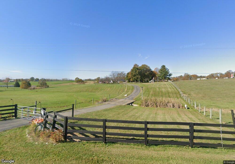
570 Anderson Rd Unit A 1 Georgetown, KY 40324
Muddy Ford NeighborhoodEstimated Value: $492,000 - $590,000
3
Beds
2
Baths
1,847
Sq Ft
$290/Sq Ft
Est. Value
About This Home
This home is located at 570 Anderson Rd Unit A 1, Georgetown, KY 40324 and is currently estimated at $535,694, approximately $290 per square foot. 570 Anderson Rd Unit A 1 is a home located in Scott County with nearby schools including Creekside Elementary School, Northern Elementary School, and Scott County Middle School.
Ownership History
Date
Name
Owned For
Owner Type
Purchase Details
Closed on
Aug 5, 2021
Sold by
Higgs David D
Bought by
Higgs Terri
Current Estimated Value
Home Financials for this Owner
Home Financials are based on the most recent Mortgage that was taken out on this home.
Original Mortgage
$300,000
Interest Rate
2.8%
Mortgage Type
New Conventional
Purchase Details
Closed on
Sep 15, 2016
Sold by
Cheatham Robert L and Cheatham Rebecca A
Bought by
Higgs David D and Higgs Terri
Home Financials for this Owner
Home Financials are based on the most recent Mortgage that was taken out on this home.
Original Mortgage
$236,600
Interest Rate
3.43%
Mortgage Type
New Conventional
Create a Home Valuation Report for This Property
The Home Valuation Report is an in-depth analysis detailing your home's value as well as a comparison with similar homes in the area
Home Values in the Area
Average Home Value in this Area
Purchase History
| Date | Buyer | Sale Price | Title Company |
|---|---|---|---|
| Higgs Terri | -- | None Available | |
| Higgs Terri | -- | Fidelity National Title | |
| Higgs David D | $338,000 | Rainbow Title Company |
Source: Public Records
Mortgage History
| Date | Status | Borrower | Loan Amount |
|---|---|---|---|
| Previous Owner | Higgs Terri | $300,000 | |
| Previous Owner | Higgs David D | $236,600 |
Source: Public Records
Tax History Compared to Growth
Tax History
| Year | Tax Paid | Tax Assessment Tax Assessment Total Assessment is a certain percentage of the fair market value that is determined by local assessors to be the total taxable value of land and additions on the property. | Land | Improvement |
|---|---|---|---|---|
| 2024 | $2,857 | $364,000 | $0 | $0 |
| 2023 | $2,796 | $354,700 | $82,500 | $272,200 |
| 2022 | $3,016 | $354,700 | $82,500 | $272,200 |
| 2021 | $3,045 | $347,200 | $75,000 | $272,200 |
| 2020 | $2,904 | $338,000 | $75,000 | $263,000 |
| 2019 | $2,950 | $338,000 | $0 | $0 |
| 2018 | $2,933 | $338,000 | $0 | $0 |
| 2017 | $2,947 | $338,000 | $0 | $0 |
| 2016 | $1,851 | $229,927 | $0 | $0 |
| 2015 | $1,445 | $180,609 | $0 | $0 |
| 2014 | $1,387 | $181,509 | $0 | $0 |
| 2011 | $1,315 | $180,901 | $0 | $0 |
Source: Public Records
Map
Nearby Homes
- 155 Blackberry Ln
- 173 Blackberry Ln
- 163 Blackberry Ln
- 161 Blackberry Ln
- 154 Blackberry Ln
- 165 Blackberry Ln
- 167 Blackberry Ln
- 157 Blackberry Ln
- 769 Anderson Rd
- 943 Sims Pike
- 768 Gunnell Rd
- 1090 Gunnell Rd
- 2491 Oxford Village Ln
- 141 Nuthatch Trail
- 139 Nuthatch Trail
- 110 Flamingo Cir
- Martha Plan at Barkley Meadows
- Elizabeth Plan at Barkley Meadows
- Barbara Plan at Barkley Meadows
- Eleanor Plan at Barkley Meadows
- 570 Anderson Rd
- 570 Anderson Rd Unit B 1
- 570 Anderson Rd Unit A 2
- 542 Anderson Rd
- 506 Anderson Rd
- 555 Anderson Rd
- 551 Anderson Rd
- 519 Anderson Rd
- 628 Anderson Rd
- 476 Anderson Rd
- 459 Anderson Rd
- 452 Anderson Rd
- 685 Anderson Rd
- 446 Anderson Rd
- 451 Anderson Rd
- 453 Anderson Rd
- 428 Anderson Rd
- 579 Anderson Rd
- 429 Anderson Rd
- 434 Anderson Rd