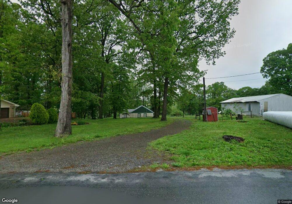
570 Cooper Dr Kirkwood, PA 17536
Estimated Value: $395,726 - $432,000
3
Beds
1
Bath
1,499
Sq Ft
$276/Sq Ft
Est. Value
About This Home
This home is located at 570 Cooper Dr, Kirkwood, PA 17536 and is currently estimated at $413,682, approximately $275 per square foot. 570 Cooper Dr is a home located in Lancaster County with nearby schools including Solanco High School.
Ownership History
Date
Name
Owned For
Owner Type
Purchase Details
Closed on
Apr 23, 2003
Sold by
Tieman N Ralph and Tieman Linda
Bought by
Tieman N Ralph and Tieman Linda
Current Estimated Value
Home Financials for this Owner
Home Financials are based on the most recent Mortgage that was taken out on this home.
Original Mortgage
$126,000
Interest Rate
5.64%
Purchase Details
Closed on
Nov 16, 1998
Sold by
Tieman N Ralph
Bought by
Tieman N Ralph and Sullivan Linda S
Home Financials for this Owner
Home Financials are based on the most recent Mortgage that was taken out on this home.
Original Mortgage
$88,150
Interest Rate
6.49%
Create a Home Valuation Report for This Property
The Home Valuation Report is an in-depth analysis detailing your home's value as well as a comparison with similar homes in the area
Home Values in the Area
Average Home Value in this Area
Purchase History
| Date | Buyer | Sale Price | Title Company |
|---|---|---|---|
| Tieman N Ralph | -- | -- | |
| Tieman N Ralph | $69,371 | -- |
Source: Public Records
Mortgage History
| Date | Status | Borrower | Loan Amount |
|---|---|---|---|
| Closed | Tieman N Ralph | $126,000 | |
| Closed | Tieman N Ralph | $88,150 |
Source: Public Records
Tax History Compared to Growth
Tax History
| Year | Tax Paid | Tax Assessment Tax Assessment Total Assessment is a certain percentage of the fair market value that is determined by local assessors to be the total taxable value of land and additions on the property. | Land | Improvement |
|---|---|---|---|---|
| 2025 | $3,556 | $226,500 | $78,500 | $148,000 |
| 2024 | $3,556 | $226,500 | $78,500 | $148,000 |
| 2023 | $3,449 | $226,500 | $78,500 | $148,000 |
| 2022 | $3,346 | $226,500 | $78,500 | $148,000 |
| 2021 | $3,229 | $226,500 | $78,500 | $148,000 |
| 2020 | $3,229 | $226,500 | $78,500 | $148,000 |
| 2019 | $3,146 | $226,500 | $78,500 | $148,000 |
| 2018 | $777 | $226,500 | $78,500 | $148,000 |
| 2017 | $2,701 | $160,300 | $43,800 | $116,500 |
| 2016 | $2,700 | $160,300 | $43,800 | $116,500 |
| 2015 | $705 | $160,300 | $43,800 | $116,500 |
| 2014 | $1,820 | $160,300 | $43,800 | $116,500 |
Source: Public Records
Map
Nearby Homes
- 1751 Kirkwood Pike
- 1751 Kirkwood Pike
- 1881 Georgetown Rd
- 4635 Newark Rd
- 15 Phillip Dr
- 4847 Homeville Rd
- 675 Lancaster Pike
- 187 Collamer Rd
- 1201 Spruce Grove Rd
- 15 Wood Valley Ln
- 0 Wickmere Street #F - Empire Unit PACT2103136
- 301 High Point Rd
- 371 Wickmere St
- 359 Wickmere Street #C- Braeburn
- 364 Wickmere St Unit 45
- 345 Austin Dr
- 130 Lincolnshire (Waterford) St
- 161 Groff Rd
- 261 Meadow Ln
- 403 S Summit Ave
- 576 Cooper Dr
- 557 Cooper Dr
- 584 Cooper Dr
- 536 Cooper Dr
- 266 Maple Shade Rd
- 254 W Shady Rd
- 254 Maple Shade Rd
- 228 Maple Shade Rd
- 528 Cooper Dr
- 246 Maple Shade Rd
- 246 W Shady Rd
- 251 Maple Shade Rd
- 245 Maple Shade Rd
- 107 Morrison Mill Rd
- 114 Morrison Mill Rd
- 131 Morrison Mill Rd
- 460 Cooper Dr
- 94 Morrison Mill Rd
- 183 Morrison Mill Rd
- 187 Morrison Mill Rd