570 Creekside Dr Souderton, PA 18964
Estimated Value: $422,000 - $427,000
3
Beds
2
Baths
1,632
Sq Ft
$260/Sq Ft
Est. Value
About This Home
This home is located at 570 Creekside Dr, Souderton, PA 18964 and is currently estimated at $424,040, approximately $259 per square foot. 570 Creekside Dr is a home located in Montgomery County with nearby schools including West Broad Street Elementary School, Indian Crest Middle School, and Souderton Area Senior High School.
Ownership History
Date
Name
Owned For
Owner Type
Purchase Details
Closed on
Jun 25, 2020
Sold by
Jacobson Linda A
Bought by
Alport Brian Edward and Price Emily Louise
Current Estimated Value
Home Financials for this Owner
Home Financials are based on the most recent Mortgage that was taken out on this home.
Original Mortgage
$229,500
Outstanding Balance
$203,505
Interest Rate
3.1%
Mortgage Type
New Conventional
Estimated Equity
$220,535
Purchase Details
Closed on
Jun 25, 1998
Sold by
Banbury Ltd Partnership
Bought by
Jacobson Linda A
Create a Home Valuation Report for This Property
The Home Valuation Report is an in-depth analysis detailing your home's value as well as a comparison with similar homes in the area
Home Values in the Area
Average Home Value in this Area
Purchase History
| Date | Buyer | Sale Price | Title Company |
|---|---|---|---|
| Alport Brian Edward | $255,000 | None Available | |
| Jacobson Linda A | $134,838 | -- |
Source: Public Records
Mortgage History
| Date | Status | Borrower | Loan Amount |
|---|---|---|---|
| Open | Alport Brian Edward | $229,500 |
Source: Public Records
Tax History Compared to Growth
Tax History
| Year | Tax Paid | Tax Assessment Tax Assessment Total Assessment is a certain percentage of the fair market value that is determined by local assessors to be the total taxable value of land and additions on the property. | Land | Improvement |
|---|---|---|---|---|
| 2025 | $5,315 | $132,320 | $38,990 | $93,330 |
| 2024 | $5,315 | $132,320 | $38,990 | $93,330 |
| 2023 | $5,071 | $132,320 | $38,990 | $93,330 |
| 2022 | $4,916 | $132,320 | $38,990 | $93,330 |
| 2021 | $4,813 | $132,320 | $38,990 | $93,330 |
| 2020 | $4,747 | $132,320 | $38,990 | $93,330 |
| 2019 | $4,333 | $132,320 | $38,990 | $93,330 |
| 2018 | $4,691 | $132,320 | $38,990 | $93,330 |
| 2017 | $4,572 | $132,320 | $38,990 | $93,330 |
| 2016 | $4,521 | $132,320 | $38,990 | $93,330 |
| 2015 | $4,398 | $132,320 | $38,990 | $93,330 |
| 2014 | $4,398 | $132,320 | $38,990 | $93,330 |
Source: Public Records
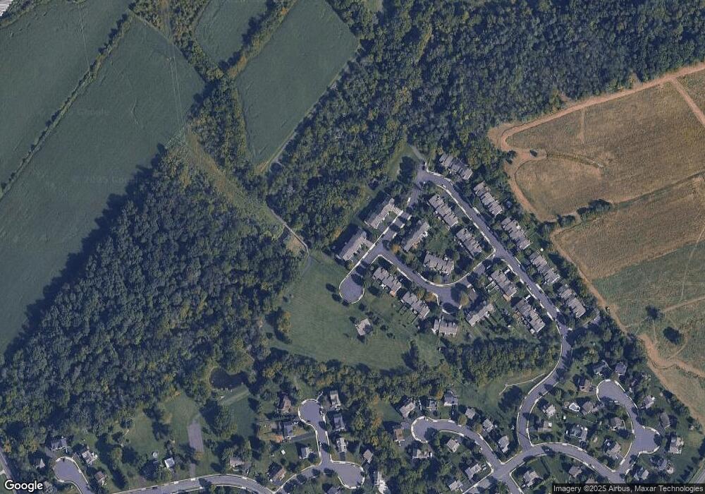
Map
Nearby Homes
- 552 Creekside Dr
- 510 Berkshire Dr
- 723 Finlay Dr
- 708 Finlay Dr
- 635 Elroy Rd
- 103 Allentown Rd
- 35 Chancery Ct Unit 35
- 51 Cambridge Ct Unit 51
- 124 Hollybush Cir
- 44 Adams Ave
- 3113 Arbour Green Ct
- 316 Penn Ave
- 701 Quail Cir
- 216 W Cherry Ln Unit MAGNOLIA
- 216 W Cherry Ln Unit DEVONSHIRE
- 216 W Cherry Ln Unit ARCADIA
- 216 W Cherry Ln Unit COVINGTON
- 110 Washington Ave
- 829 Alexander Dr
- 2921 Cowpath Rd
- 572 Creekside Dr
- 568 Creekside Dr
- 566 Creekside Dr
- 574 Creekside Dr
- 564 Creekside Dr
- 560 Creekside Dr
- 600 New Market Dr
- 558 Creekside Dr
- 556 Creekside Dr
- 602 New Market Dr
- 554 Creekside Dr
- 604 New Market Dr
- 561 Creekside Dr
- 606 New Market Dr
- 559 Creekside Dr
- 550 Creekside Dr
- 608 New Market Dr
- 557 Creekside Dr
- 555 Creekside Dr
- 612 New Market Dr