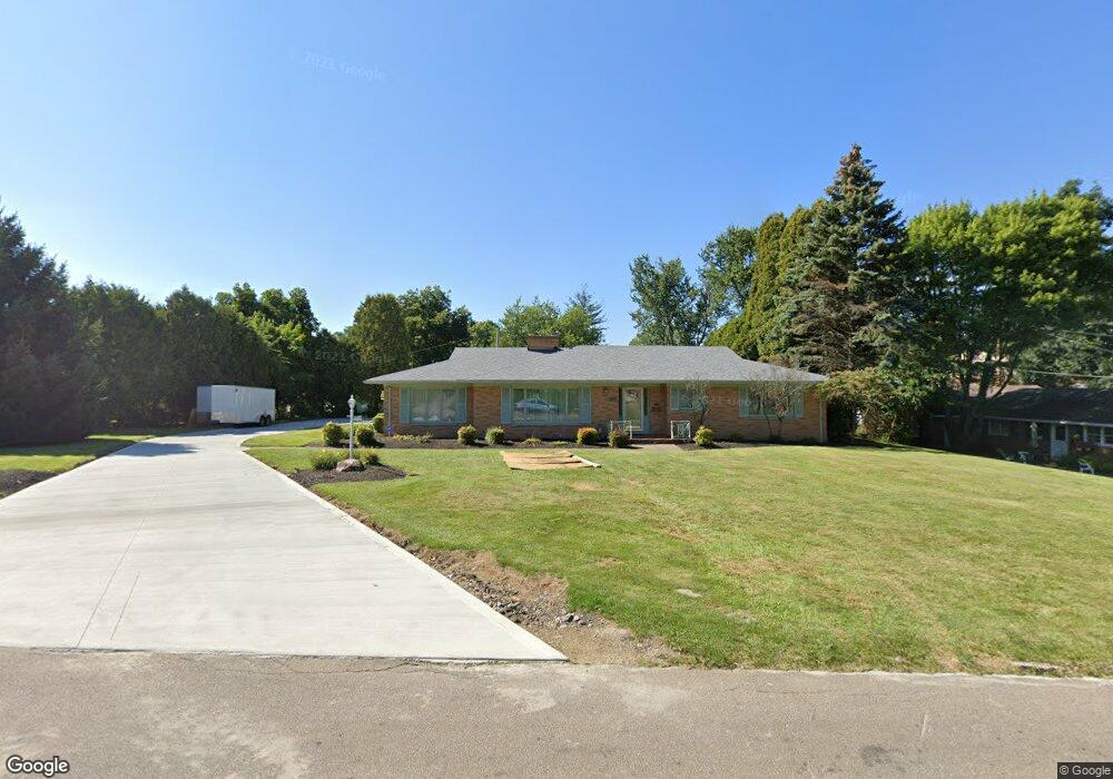
570 Crescent Rd Mansfield, OH 44907
Estimated Value: $283,000 - $313,259
2
Beds
3
Baths
2,587
Sq Ft
$116/Sq Ft
Est. Value
About This Home
This home is located at 570 Crescent Rd, Mansfield, OH 44907 and is currently estimated at $299,065, approximately $115 per square foot. 570 Crescent Rd is a home located in Richland County with nearby schools including St. Peter's Elementary/Montessori School, St. Peter's High School/Junior High, and Discovery School.
Ownership History
Date
Name
Owned For
Owner Type
Purchase Details
Closed on
Apr 30, 2001
Sold by
Est Russell E Gimbel
Bought by
Perzanowski Benedict J
Current Estimated Value
Home Financials for this Owner
Home Financials are based on the most recent Mortgage that was taken out on this home.
Original Mortgage
$109,600
Outstanding Balance
$40,924
Interest Rate
7.03%
Mortgage Type
New Conventional
Estimated Equity
$258,141
Create a Home Valuation Report for This Property
The Home Valuation Report is an in-depth analysis detailing your home's value as well as a comparison with similar homes in the area
Home Values in the Area
Average Home Value in this Area
Purchase History
| Date | Buyer | Sale Price | Title Company |
|---|---|---|---|
| Perzanowski Benedict J | $137,000 | -- |
Source: Public Records
Mortgage History
| Date | Status | Borrower | Loan Amount |
|---|---|---|---|
| Open | Perzanowski Benedict J | $109,600 |
Source: Public Records
Tax History Compared to Growth
Tax History
| Year | Tax Paid | Tax Assessment Tax Assessment Total Assessment is a certain percentage of the fair market value that is determined by local assessors to be the total taxable value of land and additions on the property. | Land | Improvement |
|---|---|---|---|---|
| 2024 | $4,215 | $89,880 | $17,390 | $72,490 |
| 2023 | $4,215 | $89,880 | $17,390 | $72,490 |
| 2022 | $3,716 | $66,390 | $15,540 | $50,850 |
| 2021 | $3,742 | $66,390 | $15,540 | $50,850 |
| 2020 | $3,826 | $66,390 | $15,540 | $50,850 |
| 2019 | $3,593 | $56,260 | $13,170 | $43,090 |
| 2018 | $3,544 | $56,260 | $13,170 | $43,090 |
| 2017 | $3,548 | $56,260 | $13,170 | $43,090 |
| 2016 | $3,647 | $57,700 | $12,780 | $44,920 |
| 2015 | $3,484 | $57,700 | $12,780 | $44,920 |
| 2014 | $3,439 | $57,700 | $12,780 | $44,920 |
| 2012 | $1,351 | $59,480 | $13,170 | $46,310 |
Source: Public Records
Map
Nearby Homes
- 431 Overlook Rd
- 421 Edgewood Rd
- 400 Davis Rd
- 505 Wood St
- 181 Chilton Ave
- 0 George Ave
- 655 Woodhill Rd
- 0 Cline Ave Hedeen Abbeyfeale Unit 9066362
- 69 Reba Ave
- 589 Andover Rd
- 353 Sturges Ave
- 674 Hillgrove Ave
- 470 Woodward Ave
- 681 Hillgrove Ave
- 120 Grover St
- 172 -172 1 2 Lexington Ave
- 257 Wood St
- 61 Ridgewood Blvd
- 137 Lexington Ave
- 1009 Woodhill Rd
- 560 Crescent Rd
- 554 Crescent Rd
- 370 Overlook Rd
- 571 Crescent Rd
- 374 Overlook Rd
- 363 Shepard Rd
- 386 Overlook Rd
- 367 Shepard Rd
- 565 Crescent Rd
- 575 Crescent Rd
- 561 Crescent Rd
- 353 Shepard Rd
- 379 Shepard Rd
- 390 Overlook Rd
- 581 Crescent Rd
- 357 Shepard Rd
- 383 Shepard Rd
- 587 Crescent Rd
- 396 Overlook Rd
- 589 Crescent Rd