570 E 800 N Spring City, UT 84662
Estimated Value: $482,849 - $615,000
Studio
--
Bath
2,072
Sq Ft
$260/Sq Ft
Est. Value
About This Home
This home is located at 570 E 800 N, Spring City, UT 84662 and is currently estimated at $537,712, approximately $259 per square foot. 570 E 800 N is a home with nearby schools including North Sanpete High School.
Ownership History
Date
Name
Owned For
Owner Type
Purchase Details
Closed on
Aug 16, 2021
Sold by
Sterner Stacey E
Bought by
Merrill Norman M
Current Estimated Value
Home Financials for this Owner
Home Financials are based on the most recent Mortgage that was taken out on this home.
Original Mortgage
$215,000
Outstanding Balance
$194,045
Interest Rate
2.84%
Mortgage Type
Construction
Estimated Equity
$343,667
Purchase Details
Closed on
Mar 14, 2018
Sold by
Erickson Dennis E
Bought by
Sterner Stacey E Te
Purchase Details
Closed on
May 9, 2006
Sold by
Erickson Dennis E and Erickson Dal E
Bought by
Erickson Dennis E and Erickson Barbara Sue
Create a Home Valuation Report for This Property
The Home Valuation Report is an in-depth analysis detailing your home's value as well as a comparison with similar homes in the area
Purchase History
| Date | Buyer | Sale Price | Title Company |
|---|---|---|---|
| Merrill Norman M | $268,750 | First American Title Slc | |
| Sterner Stacey E Te | -- | Bahamma Title | |
| Erickson Dennis E | -- | -- |
Source: Public Records
Mortgage History
| Date | Status | Borrower | Loan Amount |
|---|---|---|---|
| Open | Merrill Norman M | $215,000 |
Source: Public Records
Tax History
| Year | Tax Paid | Tax Assessment Tax Assessment Total Assessment is a certain percentage of the fair market value that is determined by local assessors to be the total taxable value of land and additions on the property. | Land | Improvement |
|---|---|---|---|---|
| 2025 | $332 | $318,254 | $0 | $0 |
| 2024 | $307 | $298,808 | $0 | $0 |
| 2023 | $299 | $280,572 | $0 | $0 |
| 2022 | $330 | $230,871 | $0 | $0 |
| 2021 | $2,154 | $190,142 | $0 | $0 |
| 2020 | $2,009 | $163,156 | $0 | $0 |
| 2019 | $1,984 | $152,254 | $0 | $0 |
| 2018 | $1,810 | $226,766 | $61,718 | $165,048 |
| 2017 | $1,578 | $128,072 | $0 | $0 |
| 2016 | $1,524 | $123,695 | $0 | $0 |
| 2015 | $1,546 | $123,695 | $0 | $0 |
| 2014 | $1,543 | $123,695 | $0 | $0 |
| 2013 | $1,499 | $123,695 | $0 | $0 |
Source: Public Records
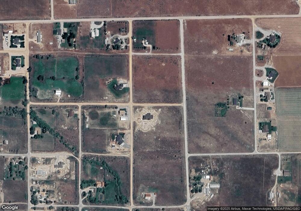
Map
Nearby Homes
- 346 E 400 N
- 400 N 600 E Unit 8
- 580 E 400 N
- 660 E 400 N
- 591 300 N Unit 1
- 389 N 100 St E
- 216 Whispering Unit 216
- 0 N 00 E Unit 1984189
- 138 Phase 3 Section A Unit 138
- 17000 N 8241 E
- 38 Twin Creek Dr Unit 38
- 11380 E Gravel Pit Rd
- 12125 E 14560 N
- 0 N 00 E Unit 1984187
- 226 Whispering Pines 3 W Unit 226
- 19250 N 1100 W
- 19010 N 11300 E
- 12 Pine Ridge Estates Dr Unit 12
- 39 W 39 5748989 -111 5097492 N
- 27 Pine Ridge Rd Unit 27
Your Personal Tour Guide
Ask me questions while you tour the home.