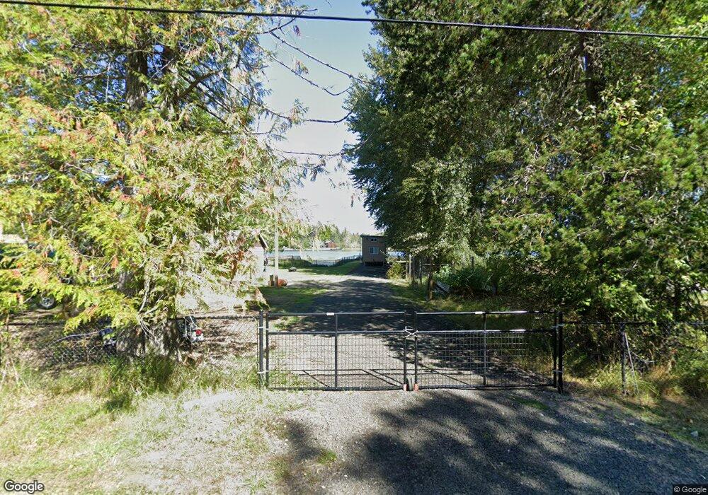
570 E Clay Rd Shelton, WA 98584
Estimated Value: $375,000 - $417,000
1
Bed
1
Bath
2,352
Sq Ft
$170/Sq Ft
Est. Value
About This Home
This home is located at 570 E Clay Rd, Shelton, WA 98584 and is currently estimated at $399,419, approximately $169 per square foot. 570 E Clay Rd is a home located in Mason County with nearby schools including Pioneer Primary School, Pioneer Intermediate/Middle School, and Abba's Garden Academy.
Ownership History
Date
Name
Owned For
Owner Type
Purchase Details
Closed on
Oct 29, 2007
Sold by
Fox Lydia A
Bought by
Evander Steve N and Evander Diana D
Current Estimated Value
Home Financials for this Owner
Home Financials are based on the most recent Mortgage that was taken out on this home.
Original Mortgage
$140,000
Outstanding Balance
$57,096
Interest Rate
6.27%
Mortgage Type
Unknown
Estimated Equity
$342,323
Create a Home Valuation Report for This Property
The Home Valuation Report is an in-depth analysis detailing your home's value as well as a comparison with similar homes in the area
Home Values in the Area
Average Home Value in this Area
Purchase History
| Date | Buyer | Sale Price | Title Company |
|---|---|---|---|
| Evander Steve N | $150,000 | Mason County Title Ins Co |
Source: Public Records
Mortgage History
| Date | Status | Borrower | Loan Amount |
|---|---|---|---|
| Open | Evander Steve N | $140,000 |
Source: Public Records
Tax History Compared to Growth
Tax History
| Year | Tax Paid | Tax Assessment Tax Assessment Total Assessment is a certain percentage of the fair market value that is determined by local assessors to be the total taxable value of land and additions on the property. | Land | Improvement |
|---|---|---|---|---|
| 2025 | $2,708 | $333,675 | $76,520 | $257,155 |
| 2024 | $2,620 | $328,280 | $76,520 | $251,760 |
| 2023 | $3,114 | $346,925 | $90,025 | $256,900 |
| 2022 | $3,323 | $339,065 | $90,025 | $249,040 |
| 2021 | $3,173 | $339,065 | $90,025 | $249,040 |
| 2020 | $3,023 | $298,420 | $90,025 | $208,395 |
| 2018 | $2,383 | $208,815 | $81,840 | $126,975 |
| 2017 | $2,433 | $208,815 | $81,840 | $126,975 |
| 2016 | $2,416 | $220,205 | $85,120 | $135,085 |
| 2015 | $2,167 | $218,200 | $85,120 | $133,080 |
| 2014 | -- | $217,700 | $85,120 | $132,580 |
| 2013 | -- | $222,835 | $87,750 | $135,085 |
Source: Public Records
Map
Nearby Homes
- 1651 E Phillips Lake Loop Rd
- 1671 E Phillips Lake Loop Rd
- 1581 E Phillips Lake Loop Rd
- 1130 E Phillips Lake Rd
- 161 E Spencer Glen
- 10 E Lynda Ln W
- 0 E Northcliff Rd
- 0 E Strong Rd Unit 43 NWM2308755
- 0 E Strong Rd Unit 34 NWM2308734
- 0 E Strong Rd Unit 43 24316768
- 0 E Strong Rd Unit 34 24009692
- 600 E Probert Rd
- 161 E Geist Point Dr
- 4540 E Pickering Rd
- 20 E Agate Rd
- 130 E Old Winery Rd
- 100 E Old Winery Rd
- 180 E Osprey Ln
- 141 E Deer Creek Rd
- 60 E Treewater Place
- 560 E Clay Rd
- 510 E Clay Rd
- 511 E Clay Rd
- 470 E Clay Rd
- 447 E Clay Rd
- 450 E Clay Rd
- 440 E Clay Rd
- 441 E Clay Rd
- 401 E Clay Rd
- 445 E Clay Rd
- 381 E Clay Rd
- 400 E Clay Rd
- 443 E Clay Rd
- 2351 E Phillips Lake Loop Rd
- 90 E Spencer Point Ln
- 2241 E Phillips Lake Loop Rd
- 2261 E Phillips Lake Loop Rd
- 2311 E Phillips Lake Loop Rd
- 271 E Clay Rd
- 2191 E Phillips Lake Loop Rd