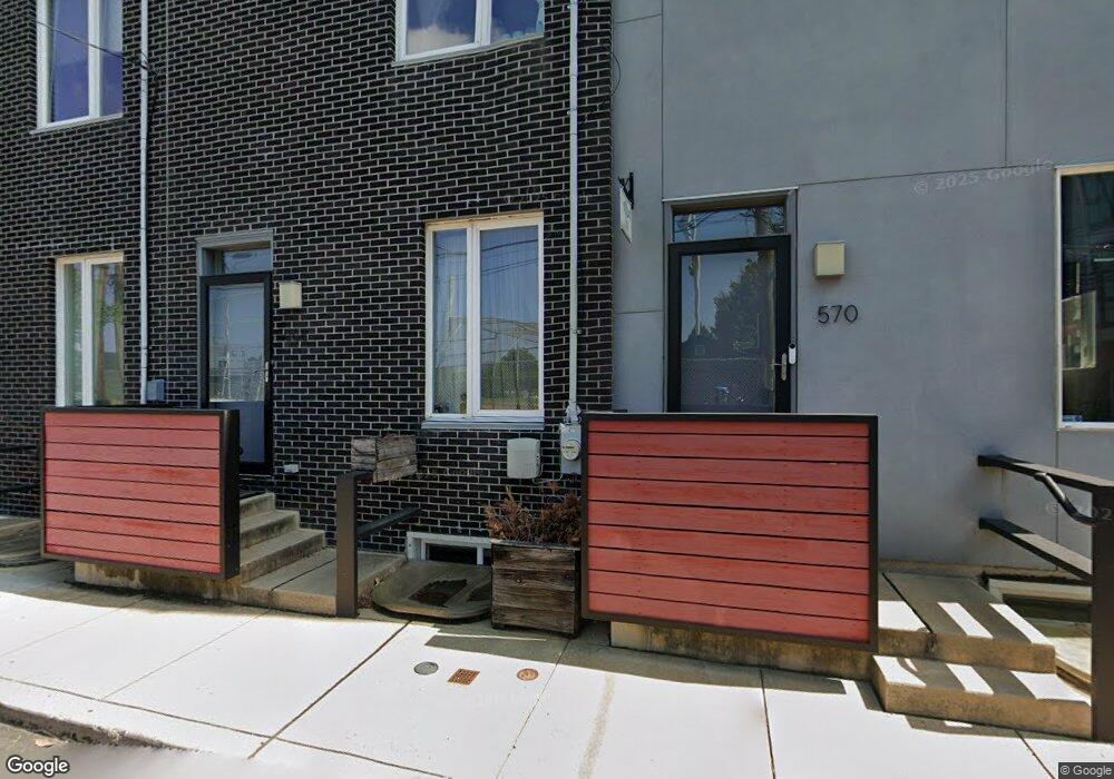
570 E Hewson St Philadelphia, PA 19125
Fishtown NeighborhoodEstimated Value: $554,702 - $779,000
3
Beds
3
Baths
2,400
Sq Ft
$279/Sq Ft
Est. Value
About This Home
This home is located at 570 E Hewson St, Philadelphia, PA 19125 and is currently estimated at $670,176, approximately $279 per square foot. 570 E Hewson St is a home located in Philadelphia County with nearby schools including Adaire Alexander School, Penn Treaty School, and Holy Name of Jesus.
Ownership History
Date
Name
Owned For
Owner Type
Purchase Details
Closed on
Aug 10, 2015
Sold by
570 E Hewson Street Parthers L P
Bought by
Claffey Michelle M and Mazzola Lisa A
Current Estimated Value
Home Financials for this Owner
Home Financials are based on the most recent Mortgage that was taken out on this home.
Original Mortgage
$339,900
Outstanding Balance
$201,244
Interest Rate
4.07%
Mortgage Type
New Conventional
Estimated Equity
$468,932
Purchase Details
Closed on
Apr 16, 2013
Sold by
570 E Hewson Street Partnres Lp
Bought by
570 E Hewson Street Partners Lp
Create a Home Valuation Report for This Property
The Home Valuation Report is an in-depth analysis detailing your home's value as well as a comparison with similar homes in the area
Home Values in the Area
Average Home Value in this Area
Purchase History
| Date | Buyer | Sale Price | Title Company |
|---|---|---|---|
| Claffey Michelle M | $439,900 | None Available | |
| 570 E Hewson Street Partners Lp | -- | None Available |
Source: Public Records
Mortgage History
| Date | Status | Borrower | Loan Amount |
|---|---|---|---|
| Open | Claffey Michelle M | $339,900 |
Source: Public Records
Tax History Compared to Growth
Tax History
| Year | Tax Paid | Tax Assessment Tax Assessment Total Assessment is a certain percentage of the fair market value that is determined by local assessors to be the total taxable value of land and additions on the property. | Land | Improvement |
|---|---|---|---|---|
| 2026 | $1,393 | $501,400 | $100,280 | $401,120 |
| 2025 | $1,393 | $501,400 | $100,280 | $401,120 |
| 2024 | $1,393 | $501,400 | $100,280 | $401,120 |
| 2023 | $1,393 | $497,600 | $99,500 | $398,100 |
| 2022 | $1,817 | $99,500 | $99,500 | $0 |
| 2021 | $1,817 | $0 | $0 | $0 |
| 2020 | $1,817 | $0 | $0 | $0 |
| 2019 | $1,686 | $0 | $0 | $0 |
| 2018 | $1,679 | $0 | $0 | $0 |
| 2017 | $1,679 | $0 | $0 | $0 |
| 2016 | $227 | $0 | $0 | $0 |
| 2015 | $1,206 | $0 | $0 | $0 |
| 2014 | -- | $0 | $0 | $0 |
Source: Public Records
Map
Nearby Homes
- 2016 Blair St
- 1856 Frankford Ave
- 2002 6 Trenton Ave
- 1848 Frankford Ave Unit 1
- 1848 Frankford Ave Unit 2
- 2028 Trenton Ave
- 2102 Berges St Unit B
- 2102 00 Berges St Unit A
- 2135 E Susquehanna Ave
- 2005 Tulip St
- 2015 Tulip St Unit 17
- 2814 Hope St
- 2006 N Front St
- 2103 E Susquehanna Ave
- 111 W Norris St
- 1620 E Berks St
- 2318 E Susquehanna Ave
- 2208 Amber St
- 2058 E Susquehanna Ave
- 1647 E Eyre St Unit 8
- 568 E Hewson St
- 566 E Hewson St
- 1863 Blair St
- 1863 Blair St
- 2172 E Norris St
- 1865 Blair St
- 1867 Blair St
- 2174 E Norris St
- 2168 E Norris St
- 2170 E Norris St
- 1861 Blair St
- 1859 Blair St
- 1857 Blair St
- 1855 Blair St
- 1860 Frankford Ave Unit B
- 1860 Frankford Ave Unit A
- 1853 Blair St
- 2166 E Norris St
- 1868-74 Frankford Ave
- 1851 Blair St