570 Longwell Rd Brockway, PA 15824
Estimated Value: $131,000 - $193,000
--
Bed
--
Bath
1,200
Sq Ft
$133/Sq Ft
Est. Value
About This Home
This home is located at 570 Longwell Rd, Brockway, PA 15824 and is currently estimated at $160,157, approximately $133 per square foot. 570 Longwell Rd is a home located in Jefferson County with nearby schools including Brockway Area Elementary School, Brockway Area Junior/Senior High School, and EAGLES NEST AMISH SCHOOL.
Ownership History
Date
Name
Owned For
Owner Type
Purchase Details
Closed on
Nov 18, 2024
Sold by
Stubbs Gary L
Bought by
Stubbs Brad G
Current Estimated Value
Purchase Details
Closed on
Apr 6, 2009
Sold by
Winebarger Valerie R
Bought by
Stubbs Gary L
Home Financials for this Owner
Home Financials are based on the most recent Mortgage that was taken out on this home.
Original Mortgage
$30,000
Interest Rate
4.94%
Mortgage Type
New Conventional
Create a Home Valuation Report for This Property
The Home Valuation Report is an in-depth analysis detailing your home's value as well as a comparison with similar homes in the area
Home Values in the Area
Average Home Value in this Area
Purchase History
| Date | Buyer | Sale Price | Title Company |
|---|---|---|---|
| Stubbs Brad G | -- | None Listed On Document | |
| Stubbs Gary L | $65,000 | None Available |
Source: Public Records
Mortgage History
| Date | Status | Borrower | Loan Amount |
|---|---|---|---|
| Previous Owner | Stubbs Gary L | $30,000 |
Source: Public Records
Tax History Compared to Growth
Tax History
| Year | Tax Paid | Tax Assessment Tax Assessment Total Assessment is a certain percentage of the fair market value that is determined by local assessors to be the total taxable value of land and additions on the property. | Land | Improvement |
|---|---|---|---|---|
| 2025 | $1,618 | $41,730 | $4,600 | $37,130 |
| 2024 | $1,897 | $41,730 | $4,600 | $37,130 |
| 2023 | $1,577 | $41,730 | $4,600 | $37,130 |
| 2022 | $1,577 | $41,730 | $4,600 | $37,130 |
| 2021 | $1,577 | $41,730 | $4,600 | $37,130 |
| 2020 | $1,577 | $41,730 | $4,600 | $37,130 |
| 2019 | $1,508 | $41,730 | $4,600 | $37,130 |
| 2018 | $1,469 | $41,730 | $4,600 | $37,130 |
| 2017 | $1,446 | $41,730 | $4,600 | $37,130 |
| 2016 | $1,317 | $41,730 | $4,600 | $37,130 |
| 2015 | -- | $41,730 | $4,600 | $37,130 |
| 2012 | -- | $41,730 | $4,600 | $37,130 |
Source: Public Records
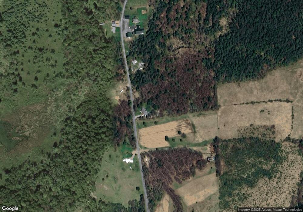
Map
Nearby Homes
- 19 Salandra Ln
- 0 Coal Glen Rd
- 725 Russel Rd
- 5546 Stevenson Hill Rd
- 1074 10th Ave
- 970 Baghdad Rd
- 1549 Main St
- 0 U S 219
- 924 Elm St
- 10217 Pennsylvania 28
- 7956 U S 219
- 00 Pennsylvania 830
- 23682 Pennsylvania 949
- 3539 Stevenson Hill Rd
- 425 Zuccolotto Ln
- 3243 Stevenson Hill Rd
- 559 Buskirk Rd
- 1083 Rattlesnake Rd
- 1144 Shaffer Rd
- 5850 U S 219
- 496 Longwell Rd
- 710 Longwell Rd
- 721 Longwell Rd
- 864 Longwell Rd
- 902 Longwell Rd
- 915 Longwell Rd
- 12383 Route 28
- 286 Bovaird Rd
- 244 Bovaird Rd
- 54 Longwell Rd
- 12385 Route 28
- 1233 Longwell Rd
- 12597 Route 28
- 12021 Route 28
- 11945 Route 28
- 407 Galusha Rd
- 12258 Route 28
- 12254 Route 28
- 12727 Route 28
- 12224 Route 28