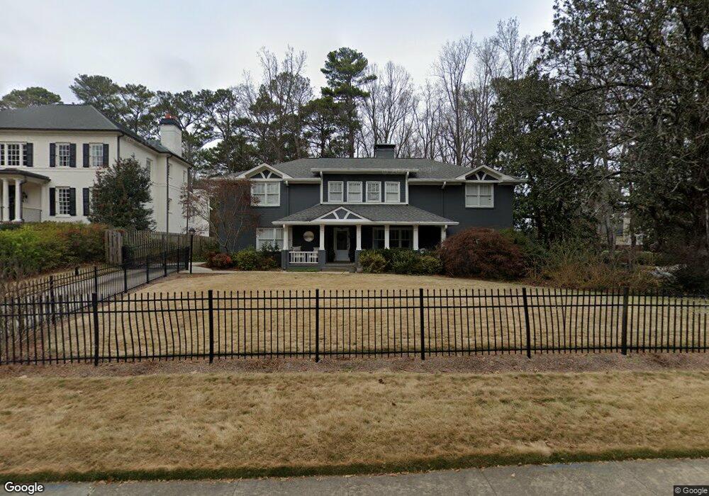
570 Loridans Dr NE Unit 1 Atlanta, GA 30342
North Buckhead NeighborhoodEstimated Value: $1,150,489 - $1,566,000
3
Beds
2
Baths
3,794
Sq Ft
$358/Sq Ft
Est. Value
About This Home
This home is located at 570 Loridans Dr NE Unit 1, Atlanta, GA 30342 and is currently estimated at $1,358,872, approximately $358 per square foot. 570 Loridans Dr NE Unit 1 is a home located in Fulton County with nearby schools including Smith Elementary School, Sutton Middle School, and North Atlanta High School.
Ownership History
Date
Name
Owned For
Owner Type
Purchase Details
Closed on
Dec 7, 2004
Sold by
Davey Patrick M
Bought by
Mason Robert B and Mason Shannon
Current Estimated Value
Home Financials for this Owner
Home Financials are based on the most recent Mortgage that was taken out on this home.
Original Mortgage
$550,000
Interest Rate
5.57%
Purchase Details
Closed on
Aug 4, 1998
Sold by
Moon Earl W
Bought by
Davey Patrick M
Home Financials for this Owner
Home Financials are based on the most recent Mortgage that was taken out on this home.
Original Mortgage
$243,500
Interest Rate
6.97%
Purchase Details
Closed on
May 21, 1993
Sold by
Moon Earl W Exec
Bought by
Moon Earl W
Create a Home Valuation Report for This Property
The Home Valuation Report is an in-depth analysis detailing your home's value as well as a comparison with similar homes in the area
Home Values in the Area
Average Home Value in this Area
Purchase History
| Date | Buyer | Sale Price | Title Company |
|---|---|---|---|
| Mason Robert B | $725,000 | -- | |
| Davey Patrick M | $235,000 | -- | |
| Moon Earl W | $168,000 | -- |
Source: Public Records
Mortgage History
| Date | Status | Borrower | Loan Amount |
|---|---|---|---|
| Closed | Mason Robert B | $550,000 | |
| Previous Owner | Davey Patrick M | $243,500 |
Source: Public Records
Tax History Compared to Growth
Tax History
| Year | Tax Paid | Tax Assessment Tax Assessment Total Assessment is a certain percentage of the fair market value that is determined by local assessors to be the total taxable value of land and additions on the property. | Land | Improvement |
|---|---|---|---|---|
| 2025 | $8,205 | $361,280 | $146,840 | $214,440 |
| 2023 | $12,950 | $312,800 | $124,600 | $188,200 |
| 2022 | $10,210 | $312,800 | $124,600 | $188,200 |
| 2021 | $9,412 | $332,600 | $169,200 | $163,400 |
| 2020 | $10,119 | $312,800 | $124,600 | $188,200 |
| 2019 | $499 | $320,640 | $151,280 | $169,360 |
| 2018 | $10,645 | $299,960 | $96,800 | $203,160 |
| 2017 | $8,875 | $234,280 | $73,840 | $160,440 |
| 2016 | $8,697 | $234,280 | $73,840 | $160,440 |
| 2015 | $8,633 | $215,680 | $73,840 | $141,840 |
| 2014 | $8,419 | $215,680 | $73,840 | $141,840 |
Source: Public Records
Map
Nearby Homes
- 4366 Skyland Dr NE
- 4056 McClatchey Cir NE
- 4082 McClatchey Cir NE
- 4288 Olde Mill Ln NE
- 4217 Wieuca Overlook NE
- 514 Valley Green Dr NE Unit 5
- 4276 Wieuca Rd NE
- 9468 Pincecrest Path Unit 321
- 4449 Glengary Dr NE
- 337 W Wieuca Rd NE
- 333 W Wieuca Rd NE
- 329 W Wieuca Rd NE
- 4097 Wieuca Rd NE
- 4225 Wieuca Rd NE
- 4212 Wieuca Rd NE
- 306 Pinecrest Rd NE
- 4620 Wieuca Rd NE Unit 25
- 4620 Wieuca Rd NE Unit 26
- 562 Loridans Dr NE
- 4341 Skyland Dr NE
- 554 Loridans Dr NE
- 4351 Skyland Dr NE
- 4372 Skyland Dr NE Unit 3
- 569 Loridans Dr NE Unit 1
- 577 Loridans Dr NE
- 4371 Skyland Dr NE
- 544 Loridans Dr NE
- 561 Loridans Dr NE
- 585 Loridans Dr NE
- 596 Loridans Dr NE
- 553 Loridans Dr NE
- 593 Loridans Dr NE
- 4382 Skyland Dr NE
- 4381 Skyland Dr NE
- 532 Loridans Dr NE
- 4341 Tree Haven Dr NE
- 4349 Tree Haven Dr NE
- 606 Loridans Dr NE