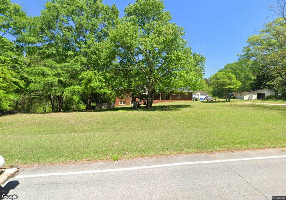
570 McKenzie Bridge Rd Carrollton, GA 30116
Abilene NeighborhoodEstimated Value: $169,000 - $212,000
2
Beds
1
Bath
1,032
Sq Ft
$187/Sq Ft
Est. Value
About This Home
This home is located at 570 McKenzie Bridge Rd, Carrollton, GA 30116 and is currently estimated at $193,423, approximately $187 per square foot. 570 McKenzie Bridge Rd is a home located in Carroll County with nearby schools including Sharp Creek Elementary School, Bay Springs Middle School, and Villa Rica High School.
Ownership History
Date
Name
Owned For
Owner Type
Purchase Details
Closed on
Feb 12, 2016
Sold by
Hembree Becky P
Bought by
Bonilla Hector
Current Estimated Value
Purchase Details
Closed on
Apr 22, 2014
Sold by
Patterson Martha
Bought by
Hembree Becky P
Purchase Details
Closed on
Aug 12, 2008
Sold by
Not Provided
Bought by
Patterson Martha Ann
Purchase Details
Closed on
Aug 21, 1996
Sold by
Cauthen Angela
Bought by
Patterson B E
Purchase Details
Closed on
Feb 4, 1991
Bought by
Cauthen Angela
Create a Home Valuation Report for This Property
The Home Valuation Report is an in-depth analysis detailing your home's value as well as a comparison with similar homes in the area
Home Values in the Area
Average Home Value in this Area
Purchase History
| Date | Buyer | Sale Price | Title Company |
|---|---|---|---|
| Bonilla Hector | $39,000 | -- | |
| Hembree Becky P | -- | -- | |
| Patterson Martha Ann | -- | -- | |
| Patterson B E | -- | -- | |
| Cauthen Angela | $37,900 | -- |
Source: Public Records
Tax History Compared to Growth
Tax History
| Year | Tax Paid | Tax Assessment Tax Assessment Total Assessment is a certain percentage of the fair market value that is determined by local assessors to be the total taxable value of land and additions on the property. | Land | Improvement |
|---|---|---|---|---|
| 2024 | $1,379 | $50,484 | $14,472 | $36,012 |
| 2023 | $1,379 | $47,316 | $14,472 | $32,844 |
| 2022 | $736 | $25,205 | $9,648 | $15,557 |
| 2021 | $604 | $20,674 | $7,147 | $13,527 |
| 2020 | $563 | $19,269 | $7,147 | $12,122 |
| 2019 | $537 | $18,209 | $7,147 | $11,062 |
| 2018 | $514 | $17,190 | $7,147 | $10,043 |
| 2017 | $469 | $17,190 | $7,147 | $10,043 |
| 2016 | $520 | $17,190 | $7,147 | $10,043 |
| 2015 | $528 | $17,096 | $8,000 | $9,096 |
| 2014 | $530 | $17,096 | $8,000 | $9,096 |
Source: Public Records
Map
Nearby Homes
- 0 Shady Grove Rd Unit 10601173
- 0 Shady Grove Rd Unit 10601172
- 129 Onyx Ct
- 255 Emerald Pointe Dr
- 1890 Shady Grove Rd
- 1866 Shady Grove Rd
- 180 Old Airport Rd
- 191 Deerfield Ln
- 201 Deerfield Ln
- 133 Deerfield Ln
- 35 Pawn Dr
- 0 Old Airport Rd Unit 10599783
- 0 Old Airport Rd Unit 10599779
- 0 Old Airport Rd Unit 10599776
- 0 Old Airport Rd Unit 7642336
- 10 Deerfield Ln
- 22 Summer Ct
- 225 Meadowcliff Trail
- 0 Frashier Rd Unit 10488685
- 0 Frashier Rd Unit 7549781
- 570 McKenzie Bridge Rd
- 586 McKenzie Bridge Rd
- 519 McKenzie Bridge Rd
- 598 McKenzie Bridge Rd
- 555 McKenzie Bridge Rd
- 530 McKenzie Bridge Rd
- 590 McKenzie Bridge Rd
- 20 Patricia Ln
- 22 Highland Dr
- 17 Highland Dr
- 60 Highland Walk
- 31 Mitchell Ln
- 52 Highland Walk
- 0 Patricia Ln Unit 8410365
- 0 Patricia Ln
- 516 McKenzie Bridge Rd
- 621 McKenzie Bridge Rd
- 68 Highland Walk
- 15 Patricia Ln
- 44 Highland Walk