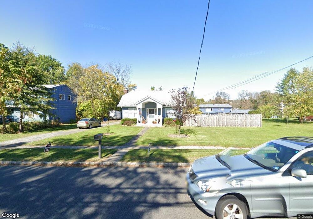
570 Vail Rd Parsippany, NJ 07054
Estimated Value: $573,884 - $720,000
Studio
--
Bath
1,408
Sq Ft
$462/Sq Ft
Est. Value
About This Home
This home is located at 570 Vail Rd, Parsippany, NJ 07054 and is currently estimated at $649,971, approximately $461 per square foot. 570 Vail Rd is a home located in Morris County with nearby schools including Northvail Elementary School, Central Middle School, and Parsippany High School.
Ownership History
Date
Name
Owned For
Owner Type
Purchase Details
Closed on
May 3, 2002
Sold by
Blank Glenn
Bought by
Hansberry Kevin and Hansberry Heidi
Current Estimated Value
Home Financials for this Owner
Home Financials are based on the most recent Mortgage that was taken out on this home.
Original Mortgage
$200,000
Outstanding Balance
$85,936
Interest Rate
7.18%
Estimated Equity
$564,035
Purchase Details
Closed on
May 28, 1999
Sold by
Estate Of Anna Fallat and Stivaly Beverly
Bought by
Biank Glenn A and Biank Stephanie M
Home Financials for this Owner
Home Financials are based on the most recent Mortgage that was taken out on this home.
Original Mortgage
$116,850
Interest Rate
6.85%
Mortgage Type
Stand Alone First
Create a Home Valuation Report for This Property
The Home Valuation Report is an in-depth analysis detailing your home's value as well as a comparison with similar homes in the area
Home Values in the Area
Average Home Value in this Area
Purchase History
| Date | Buyer | Sale Price | Title Company |
|---|---|---|---|
| Hansberry Kevin | $250,000 | -- | |
| Biank Glenn A | $123,000 | Chicago Title Insurance Co |
Source: Public Records
Mortgage History
| Date | Status | Borrower | Loan Amount |
|---|---|---|---|
| Open | Hansberry Kevin | $200,000 | |
| Previous Owner | Biank Glenn A | $116,850 |
Source: Public Records
Tax History Compared to Growth
Tax History
| Year | Tax Paid | Tax Assessment Tax Assessment Total Assessment is a certain percentage of the fair market value that is determined by local assessors to be the total taxable value of land and additions on the property. | Land | Improvement |
|---|---|---|---|---|
| 2025 | $10,315 | $302,500 | $195,700 | $106,800 |
| 2024 | $10,125 | $302,500 | $195,700 | $106,800 |
Source: Public Records
Map
Nearby Homes
- 5 Vincent Dr
- 255 Knoll Rd
- 8 New England Dr
- 4 New Hampshire Ct
- 20 Sandra Dr
- 21 Nokomis Ave
- 30 Madison Ave
- 5 Jefferson Ave
- 263 Lake Shore Dr
- 61 Minnehaha Blvd
- 122 Lake Shore Dr
- 104 N Beverwyck Rd Unit 7
- 74 Longview Ave
- 191 N Beverwyck Rd Unit 10
- 53 Ute Ave
- 12 Carlson Place
- 32 Lake Shore Dr
- 34 Hoffman Ave
- 1 Vail Rd
- 951 N Beverwyck Rd