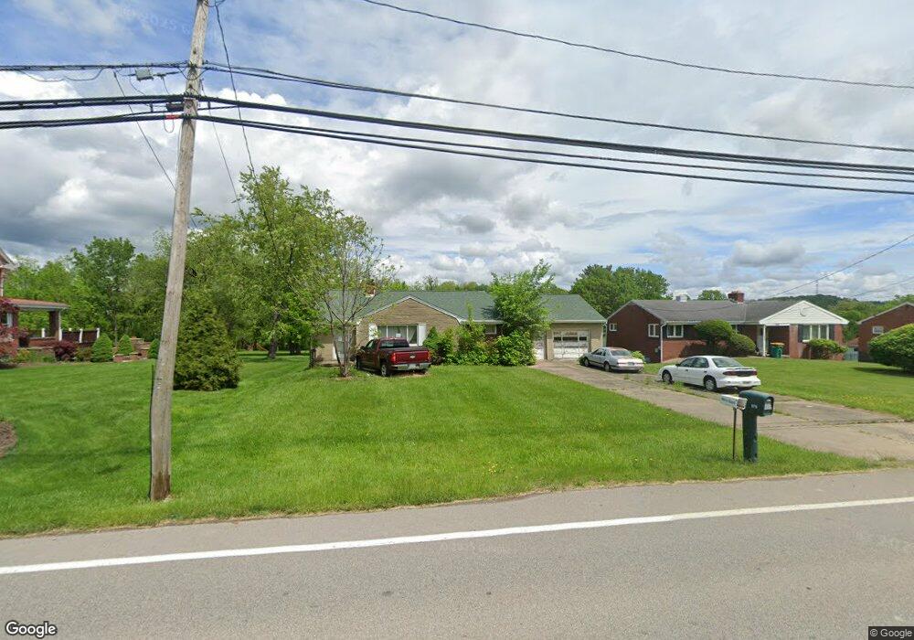
570 W Mcmurray Rd Canonsburg, PA 15317
Estimated Value: $274,000 - $320,000
3
Beds
1
Bath
1,276
Sq Ft
$231/Sq Ft
Est. Value
About This Home
This home is located at 570 W Mcmurray Rd, Canonsburg, PA 15317 and is currently estimated at $294,887, approximately $231 per square foot. 570 W Mcmurray Rd is a home located in Washington County with nearby schools including Canon-Mcmillan Senior High School.
Ownership History
Date
Name
Owned For
Owner Type
Purchase Details
Closed on
Apr 27, 2004
Sold by
Haggerty Dorothy
Bought by
Scott Dianne
Current Estimated Value
Home Financials for this Owner
Home Financials are based on the most recent Mortgage that was taken out on this home.
Original Mortgage
$128,956
Outstanding Balance
$59,994
Interest Rate
5.39%
Mortgage Type
New Conventional
Estimated Equity
$234,893
Purchase Details
Closed on
Sep 14, 1999
Sold by
Casacchia Nancy
Bought by
Haggerty Dorothy Mae
Create a Home Valuation Report for This Property
The Home Valuation Report is an in-depth analysis detailing your home's value as well as a comparison with similar homes in the area
Home Values in the Area
Average Home Value in this Area
Purchase History
| Date | Buyer | Sale Price | Title Company |
|---|---|---|---|
| Scott Dianne | $164,000 | -- | |
| Haggerty Dorothy Mae | $145,000 | -- |
Source: Public Records
Mortgage History
| Date | Status | Borrower | Loan Amount |
|---|---|---|---|
| Open | Scott Dianne | $128,956 |
Source: Public Records
Tax History Compared to Growth
Tax History
| Year | Tax Paid | Tax Assessment Tax Assessment Total Assessment is a certain percentage of the fair market value that is determined by local assessors to be the total taxable value of land and additions on the property. | Land | Improvement |
|---|---|---|---|---|
| 2025 | $2,793 | $163,400 | $83,900 | $79,500 |
| 2024 | $2,608 | $163,400 | $83,900 | $79,500 |
| 2023 | $2,608 | $163,400 | $83,900 | $79,500 |
| 2022 | $2,600 | $163,400 | $83,900 | $79,500 |
| 2021 | $2,600 | $163,400 | $83,900 | $79,500 |
| 2020 | $2,469 | $163,400 | $83,900 | $79,500 |
| 2019 | $2,428 | $163,400 | $83,900 | $79,500 |
| 2018 | $2,377 | $163,400 | $83,900 | $79,500 |
| 2017 | $552 | $163,400 | $83,900 | $79,500 |
| 2016 | $552 | $15,833 | $1,983 | $13,850 |
| 2015 | $1,868 | $15,833 | $1,983 | $13,850 |
| 2014 | $576 | $15,833 | $1,983 | $13,850 |
| 2013 | $576 | $15,833 | $1,983 | $13,850 |
Source: Public Records
Map
Nearby Homes
- 1029 Woodlawn Dr
- 151 Liberty Blvd
- The Franklin Plan at Southpointe
- The Betsy Ross Plan at Southpointe
- The Washington Plan at Southpointe
- The Grant Plan at Southpointe
- The Hancock Plan at Southpointe
- 118 Maple Ridge Dr
- 235 Liberty Blvd
- 113 Maple Ridge Ct
- 205 Maple Ridge Dr
- 1009 Waterford Ct W
- 153 Twilight Dr
- 238 Maple Ridge Dr
- 612 Hunting Creek Rd
- 454 Independence Way
- 1047 Waterford Ct E
- 93 Skyview Dr
- 139 Heather Dr
- 304 Maple Ridge Dr
- 568 W Mcmurray Rd
- 572 W Mcmurray Rd
- 566 W Mcmurray Rd
- 564 W Mcmurray Rd
- 574 W Mcmurray Rd
- 562 W Mcmurray Rd
- 578 W Mcmurray Rd
- 580 W Mcmurray Rd
- 556 W Mcmurray Rd
- 1345 Morgan Cir
- 1349 Morgan Cir
- 109 Enclave Dr
- 1351 Morgan Cir
- 582 W Mcmurray Rd
- 101 Enclave Dr
- 103 Enclave Dr
- 105 Enclave Dr
- 4 Colonial Ct
- 1353 Morgan Cir
- 107 Enclave Dr