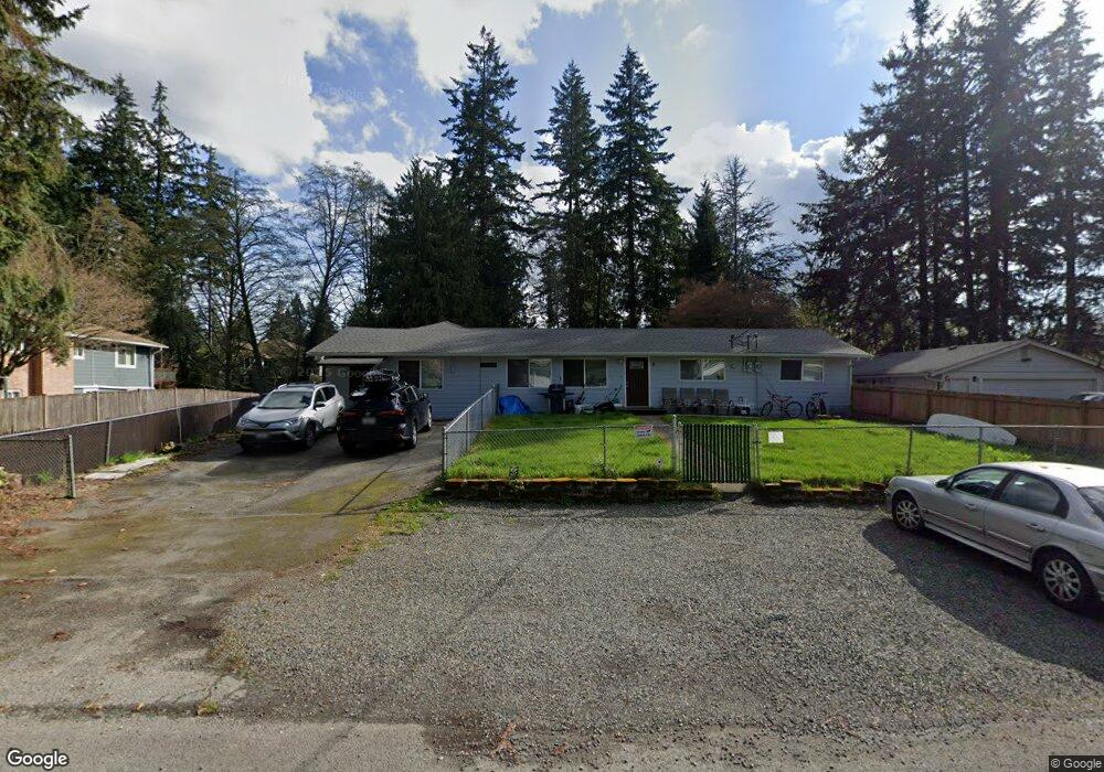
5700 141st St SW Edmonds, WA 98026
Estimated Value: $1,043,000 - $1,563,000
5
Beds
3
Baths
3,154
Sq Ft
$406/Sq Ft
Est. Value
About This Home
This home is located at 5700 141st St SW, Edmonds, WA 98026 and is currently estimated at $1,280,770, approximately $406 per square foot. 5700 141st St SW is a home located in Snohomish County with nearby schools including Picnic Point Elementary School, Harbour Pointe Middle School, and Kamiak High School.
Ownership History
Date
Name
Owned For
Owner Type
Purchase Details
Closed on
Nov 14, 2018
Sold by
Bueing Sandra L
Bought by
Kim Tae Hak and Kim Myong Susan
Current Estimated Value
Purchase Details
Closed on
Nov 20, 2003
Sold by
Bueing Michael C
Bought by
Paulette Angela
Home Financials for this Owner
Home Financials are based on the most recent Mortgage that was taken out on this home.
Original Mortgage
$310,400
Interest Rate
7.1%
Mortgage Type
Unknown
Create a Home Valuation Report for This Property
The Home Valuation Report is an in-depth analysis detailing your home's value as well as a comparison with similar homes in the area
Home Values in the Area
Average Home Value in this Area
Purchase History
| Date | Buyer | Sale Price | Title Company |
|---|---|---|---|
| Kim Tae Hak | $825,000 | Chicago Title | |
| Paulette Angela | $388,000 | Transnation Title Insurance |
Source: Public Records
Mortgage History
| Date | Status | Borrower | Loan Amount |
|---|---|---|---|
| Previous Owner | Paulette Angela | $310,400 |
Source: Public Records
Tax History Compared to Growth
Tax History
| Year | Tax Paid | Tax Assessment Tax Assessment Total Assessment is a certain percentage of the fair market value that is determined by local assessors to be the total taxable value of land and additions on the property. | Land | Improvement |
|---|---|---|---|---|
| 2025 | $7,952 | $974,700 | $512,700 | $462,000 |
| 2024 | $7,952 | $896,300 | $428,900 | $467,400 |
| 2023 | $7,235 | $846,100 | $418,900 | $427,200 |
| 2022 | $9,028 | $914,000 | $373,000 | $541,000 |
| 2020 | $7,978 | $782,000 | $217,800 | $564,200 |
| 2019 | $6,854 | $668,000 | $189,400 | $478,600 |
| 2018 | $5,910 | $496,000 | $172,200 | $323,800 |
| 2017 | $5,166 | $439,000 | $156,500 | $282,500 |
| 2016 | $4,381 | $374,700 | $185,000 | $189,700 |
| 2015 | $4,001 | $310,700 | $154,000 | $156,700 |
| 2013 | $3,985 | $290,700 | $116,000 | $174,700 |
Source: Public Records
Map
Nearby Homes
- 13802 60th Ave W
- 6122 144th St SW
- 6104 145th St SW
- 14019 52nd Ave W Unit B
- 6306 141st St SW
- 14714 53rd Ave W Unit 116
- 14714 53rd Ave W Unit 119
- 5015 144th St SW Unit B1
- 5015 144th St SW Unit A4
- 5015 144th St SW Unit B3
- 5015 144th St SW Unit C1
- 6420 141st St SW
- 5119 136th St SW
- 14224 Beverly Park Rd Unit A
- 5020 148th St SW Unit E1
- 4726 Picnic Point Rd
- 6520 146th St SW
- 4630 143rd Place SW
- 13813 68th Ave W
- 6519 148th Place SW
- 5720 141st St SW
- 5630 141st St SW
- 5706 141st St SW Unit B
- 5706 141st St SW Unit A
- 5706 141st St SW
- 5706 141st St SW Unit A & B
- 5728 141st St SW
- 5714 141st St SW Unit B
- 5714 141st St SW Unit A
- 5714 141st St SW
- 5714 141st St SW Unit A & B
- 5709 141st St SW
- 5631 141st St SW
- 5717 141st St SW
- 5632 141st St SW
- 5627 141st St SW
- 5725 141st St SW
- 5808 141st St SW
- 5715 143rd St SW