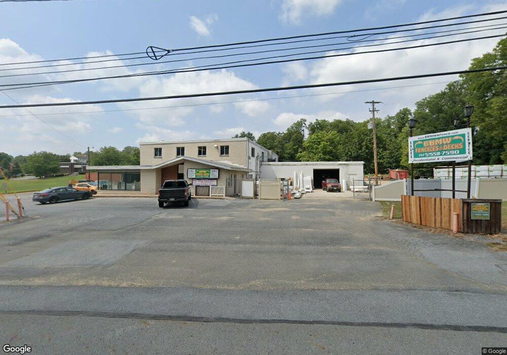
5700 Derry St Harrisburg, PA 17111
Estimated Value: $1,250,384
--
Bed
--
Bath
12,809
Sq Ft
$98/Sq Ft
Est. Value
About This Home
This home is located at 5700 Derry St, Harrisburg, PA 17111 and is currently estimated at $1,250,384, approximately $97 per square foot. 5700 Derry St is a home located in Dauphin County with nearby schools including Lawnton Elementary School, Swatara Middle School, and Central Dauphin East Senior High School.
Ownership History
Date
Name
Owned For
Owner Type
Purchase Details
Closed on
Nov 21, 2024
Sold by
Bush Craig D
Bought by
Kas Property Holdings Llc
Current Estimated Value
Home Financials for this Owner
Home Financials are based on the most recent Mortgage that was taken out on this home.
Original Mortgage
$900,000
Outstanding Balance
$891,373
Interest Rate
6.32%
Mortgage Type
New Conventional
Estimated Equity
$359,011
Create a Home Valuation Report for This Property
The Home Valuation Report is an in-depth analysis detailing your home's value as well as a comparison with similar homes in the area
Home Values in the Area
Average Home Value in this Area
Purchase History
| Date | Buyer | Sale Price | Title Company |
|---|---|---|---|
| Kas Property Holdings Llc | $1,200,000 | Blue Mountain Realty | |
| Kas Property Holdings Llc | $1,200,000 | Blue Mountain Realty |
Source: Public Records
Mortgage History
| Date | Status | Borrower | Loan Amount |
|---|---|---|---|
| Open | Kas Property Holdings Llc | $900,000 | |
| Closed | Kas Property Holdings Llc | $900,000 |
Source: Public Records
Tax History Compared to Growth
Tax History
| Year | Tax Paid | Tax Assessment Tax Assessment Total Assessment is a certain percentage of the fair market value that is determined by local assessors to be the total taxable value of land and additions on the property. | Land | Improvement |
|---|---|---|---|---|
| 2025 | $11,962 | $400,900 | $151,500 | $249,400 |
| 2024 | $11,360 | $400,900 | $151,500 | $249,400 |
| 2023 | $11,360 | $400,900 | $151,500 | $249,400 |
| 2022 | $11,360 | $400,900 | $151,500 | $249,400 |
| 2021 | $11,117 | $400,900 | $151,500 | $249,400 |
| 2020 | $11,001 | $400,900 | $151,500 | $249,400 |
| 2019 | $11,048 | $400,900 | $151,500 | $249,400 |
| 2018 | $10,867 | $400,900 | $151,500 | $249,400 |
| 2017 | $10,507 | $400,900 | $151,500 | $249,400 |
| 2016 | $0 | $400,900 | $151,500 | $249,400 |
| 2015 | -- | $400,900 | $151,500 | $249,400 |
| 2014 | -- | $400,900 | $151,500 | $249,400 |
Source: Public Records
Map
Nearby Homes
- 69 Delmont Ave
- 191 Chartwood Dr
- 314 Lincoln Ave
- 364 Hivner Rd
- 4917 Lancaster St
- 6100 Hocker Dr
- 0 N 50th St
- 6321 Huntingdon St
- 4818 Derry St
- 6341 Somerset St
- 730 Harvest Dr
- 5691 Chambers Hill Rd
- 4800 E Circle Dr
- 4610 Derry St
- 6520 Derry St
- 6436 Ann St
- 6470 Colchester Ave
- 6130 Driftwood Dr
- 0 Lisa Dr Unit 5 PADA2047430
- 551 Strites Rd
- 90 Lincoln Ave
- 5660-5670 Lancaster St
- 98 Lincoln Ave
- 5641 Lancaster St Unit 6
- 5641 Lancaster St
- 5641 Lancaster St Unit 2
- 41 Lincoln Ave
- 45 Lincoln Ave
- 49 Lincoln Ave
- 53 Lincoln Ave
- 57 Lincoln Ave
- 69 Lincoln Ave
- 73 Lincoln Ave
- 77 Lincoln Ave
- 81 Lincoln Ave
- 5631 Lancaster St
- 85 Lincoln Ave
- 104 Lincoln Ave
- 89 Lincoln Ave
- 110 Lincoln Ave