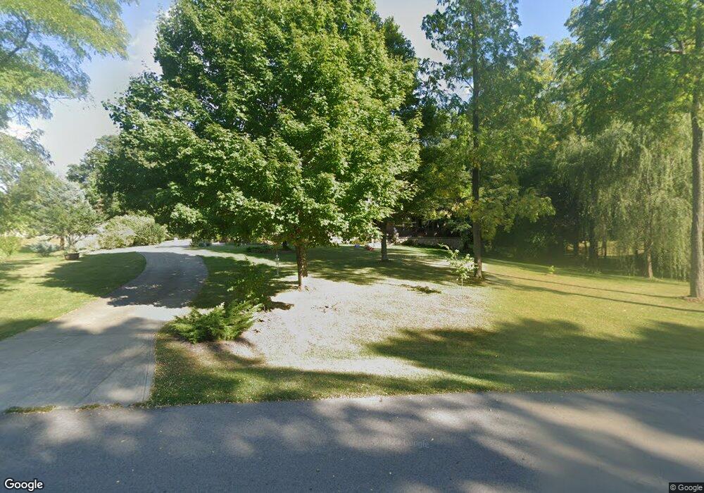
5700 Kizer Ln Springfield, OH 45502
Estimated Value: $624,674 - $747,000
5
Beds
4
Baths
3,970
Sq Ft
$171/Sq Ft
Est. Value
About This Home
This home is located at 5700 Kizer Ln, Springfield, OH 45502 and is currently estimated at $680,558, approximately $171 per square foot. 5700 Kizer Ln is a home located in Clark County with nearby schools including Northridge Elementary School, Kenton Ridge Middle & High School, and Catholic Central Elementary School - Limestone Campus.
Ownership History
Date
Name
Owned For
Owner Type
Purchase Details
Closed on
Feb 23, 2011
Sold by
The Dhingra Family Limited Partnership
Bought by
Cardinal Edward C and Cardinal Traci L
Current Estimated Value
Home Financials for this Owner
Home Financials are based on the most recent Mortgage that was taken out on this home.
Original Mortgage
$273,760
Outstanding Balance
$184,990
Interest Rate
4.75%
Mortgage Type
FHA
Estimated Equity
$495,568
Purchase Details
Closed on
Sep 16, 2010
Sold by
Graham Herbert F and Citimortgage Inc
Bought by
Dhingra Family Limited Partnership
Create a Home Valuation Report for This Property
The Home Valuation Report is an in-depth analysis detailing your home's value as well as a comparison with similar homes in the area
Home Values in the Area
Average Home Value in this Area
Purchase History
| Date | Buyer | Sale Price | Title Company |
|---|---|---|---|
| Cardinal Edward C | $294,800 | Attorney | |
| Dhingra Family Limited Partnership | $167,100 | None Available |
Source: Public Records
Mortgage History
| Date | Status | Borrower | Loan Amount |
|---|---|---|---|
| Open | Cardinal Edward C | $273,760 |
Source: Public Records
Tax History
| Year | Tax Paid | Tax Assessment Tax Assessment Total Assessment is a certain percentage of the fair market value that is determined by local assessors to be the total taxable value of land and additions on the property. | Land | Improvement |
|---|---|---|---|---|
| 2025 | $7,646 | $178,010 | $23,340 | $154,670 |
| 2024 | $7,394 | $174,790 | $20,680 | $154,110 |
| 2023 | $7,394 | $174,790 | $20,680 | $154,110 |
| 2022 | $7,421 | $174,790 | $20,680 | $154,110 |
| 2021 | $6,449 | $128,730 | $16,030 | $112,700 |
| 2020 | $6,455 | $128,730 | $16,030 | $112,700 |
| 2019 | $6,577 | $128,730 | $16,030 | $112,700 |
| 2018 | $5,736 | $107,730 | $16,030 | $91,700 |
| 2017 | $4,916 | $113,999 | $16,030 | $97,969 |
| 2016 | $4,881 | $113,999 | $16,030 | $97,969 |
| 2015 | $5,104 | $119,165 | $16,030 | $103,135 |
| 2014 | $5,103 | $119,165 | $16,030 | $103,135 |
| 2013 | $4,985 | $119,165 | $16,030 | $103,135 |
Source: Public Records
Map
Nearby Homes
- 335 Willow Rd
- 937 Willow Rd
- 5300 Brookshire Ln
- 5564 Ridgewood Rd W
- 1398 Elizabeth Ct Unit 66
- 1495 Victorian Way
- 5235 W Ridgewood Rd
- 1470 Oldham Dr Unit 12
- 5564 Ridgewood Rd E Unit 7
- 0 Moorefield Rd
- 1521 Erika Dr
- 4733 Curtis Dr
- 5033 Ridgewood Rd E
- 4741 Cullen Ave
- 4802 Willowbrook Dr
- 1977 Willoughby Ave
- 5645 Springfield-Urbana Pike Unit Lot 67
- 5646 Springfield-Urbana Pike Unit Lot 30
- 5646 Springfield-Urbana Pike Unit Lot 90
- 5646 Springfield-Urbana Pike Unit Lot 61
Your Personal Tour Guide
Ask me questions while you tour the home.