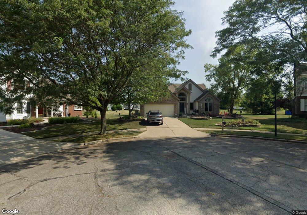
5700 Pocowillis Ct Westerville, OH 43081
West Albany NeighborhoodEstimated Value: $403,000 - $470,000
3
Beds
3
Baths
2,067
Sq Ft
$213/Sq Ft
Est. Value
About This Home
This home is located at 5700 Pocowillis Ct, Westerville, OH 43081 and is currently estimated at $439,691, approximately $212 per square foot. 5700 Pocowillis Ct is a home located in Franklin County with nearby schools including Avalon Elementary School, Northgate Intermediate, and Woodward Park Middle School.
Ownership History
Date
Name
Owned For
Owner Type
Purchase Details
Closed on
Oct 24, 1994
Sold by
Soevereign Dev Corp
Bought by
Janet L Keesee
Current Estimated Value
Home Financials for this Owner
Home Financials are based on the most recent Mortgage that was taken out on this home.
Original Mortgage
$100,000
Interest Rate
8.53%
Mortgage Type
New Conventional
Create a Home Valuation Report for This Property
The Home Valuation Report is an in-depth analysis detailing your home's value as well as a comparison with similar homes in the area
Home Values in the Area
Average Home Value in this Area
Purchase History
| Date | Buyer | Sale Price | Title Company |
|---|---|---|---|
| Janet L Keesee | $149,900 | -- |
Source: Public Records
Mortgage History
| Date | Status | Borrower | Loan Amount |
|---|---|---|---|
| Closed | Janet L Keesee | $100,000 |
Source: Public Records
Tax History Compared to Growth
Tax History
| Year | Tax Paid | Tax Assessment Tax Assessment Total Assessment is a certain percentage of the fair market value that is determined by local assessors to be the total taxable value of land and additions on the property. | Land | Improvement |
|---|---|---|---|---|
| 2024 | $6,243 | $139,100 | $41,340 | $97,760 |
| 2023 | $6,163 | $139,100 | $41,340 | $97,760 |
| 2022 | $5,515 | $106,330 | $36,960 | $69,370 |
| 2021 | $5,525 | $106,330 | $36,960 | $69,370 |
| 2020 | $5,532 | $106,330 | $36,960 | $69,370 |
| 2019 | $5,230 | $86,210 | $30,800 | $55,410 |
| 2018 | $4,824 | $86,210 | $30,800 | $55,410 |
| 2017 | $5,227 | $86,210 | $30,800 | $55,410 |
| 2016 | $4,878 | $73,640 | $15,400 | $58,240 |
| 2015 | $4,428 | $73,640 | $15,400 | $58,240 |
| 2014 | $4,439 | $73,640 | $15,400 | $58,240 |
| 2013 | $2,086 | $70,140 | $14,665 | $55,475 |
Source: Public Records
Map
Nearby Homes
- 5600 Apothecary Way
- 5604 Apothecary Way Unit 4
- 5656 Apothecary Way Unit 2
- 6501 Walnut Fork Dr Unit 6501
- 5556 Falco Dr
- 6498 Ash Rock Cir Unit 6498
- 6455 Walnut Fork Dr Unit 6455
- 6950 Harlem Rd
- 6813 Ridge Rock Dr Unit 14
- 5730 Colts Gate Dr Unit 43
- 5777 Colts Gate Dr Unit 44
- 5937 Seffner Dr
- 5981 Niahway St Unit 57
- 6923 Rothwell St Unit 46923
- 6931 Rothwell St Unit 36931
- 5798 Aristides Way
- 5478 Albany Terrace Way Unit 1405
- 6221 Hudson Reserve Way
- 6746 Morningside Heights Place
- 6160 Albany Way Dr
- 5686 Pocowillis Ct
- 5697 Pocowillis Ct
- 6864 Bethany Dr
- 5643 Sanibel Ct
- 6852 Bethany Dr
- 6840 Bethany Dr
- 5689 Pocowillis Ct
- 6828 Bethany Dr
- 6876 Bethany Dr
- 6651 Sanibel Ave
- 6643 Sanibel Ave
- 6635 Sanibel Ave
- 6820 Bethany Dr
- 5651 Sanibel Ct
- 5635 Sanibel Ct
- 6812 Bethany Dr
- 6627 Sanibel Ave
- 6888 Bethany Dr
- 6800 Bethany Dr
- 6788 Bethany Dr