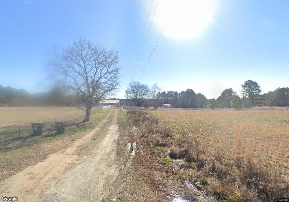
5700 Rock Patch Rd Loganville, GA 30052
Estimated Value: $370,000 - $526,000
--
Bed
--
Bath
1,288
Sq Ft
$344/Sq Ft
Est. Value
About This Home
This home is located at 5700 Rock Patch Rd, Loganville, GA 30052 and is currently estimated at $443,099, approximately $344 per square foot. 5700 Rock Patch Rd is a home located in Walton County with nearby schools including Sharon Elementary School, Loganville Middle School, and Loganville High School.
Ownership History
Date
Name
Owned For
Owner Type
Purchase Details
Closed on
Jan 28, 1999
Sold by
Corbin Bob L and Corbin Glenda
Bought by
Thompson Priscilla A
Current Estimated Value
Home Financials for this Owner
Home Financials are based on the most recent Mortgage that was taken out on this home.
Original Mortgage
$127,900
Outstanding Balance
$30,429
Interest Rate
6.8%
Mortgage Type
New Conventional
Estimated Equity
$412,670
Create a Home Valuation Report for This Property
The Home Valuation Report is an in-depth analysis detailing your home's value as well as a comparison with similar homes in the area
Home Values in the Area
Average Home Value in this Area
Purchase History
| Date | Buyer | Sale Price | Title Company |
|---|---|---|---|
| Thompson Priscilla A | $159,900 | -- |
Source: Public Records
Mortgage History
| Date | Status | Borrower | Loan Amount |
|---|---|---|---|
| Open | Thompson Priscilla A | $127,900 |
Source: Public Records
Tax History Compared to Growth
Tax History
| Year | Tax Paid | Tax Assessment Tax Assessment Total Assessment is a certain percentage of the fair market value that is determined by local assessors to be the total taxable value of land and additions on the property. | Land | Improvement |
|---|---|---|---|---|
| 2024 | $4,114 | $139,560 | $87,920 | $51,640 |
| 2023 | $3,999 | $131,840 | $83,520 | $48,320 |
| 2022 | $3,844 | $121,560 | $78,200 | $43,360 |
| 2021 | $3,225 | $99,000 | $60,760 | $38,240 |
| 2020 | $2,996 | $89,680 | $52,760 | $36,920 |
| 2019 | $2,802 | $81,000 | $46,880 | $34,120 |
| 2018 | $2,709 | $81,000 | $46,880 | $34,120 |
| 2017 | $2,762 | $80,160 | $46,880 | $33,280 |
| 2016 | $2,363 | $69,600 | $41,480 | $28,120 |
| 2015 | $2,328 | $67,480 | $41,480 | $26,000 |
| 2014 | $2,133 | $60,280 | $0 | $0 |
Source: Public Records
Map
Nearby Homes
- 1412 Brighton Place
- 3585 Shepherds Ln
- 1426 Brighton Place
- 1621 La Fayette Dr
- 0 McCullers Rd Unit 10443694
- 325 Brook Hollow Ln
- 5875 Sandy Creek Rd
- 4011 Lafayette Way
- 3825 Green Ave
- 3605 Cobblestone Dr
- 521 Sandy Cove Dr
- 6050 Sandy Creek Rd
- 3970 Governors Cir
- 2735 Sandy Creek Cir
- 4740 Rock Springs Ct
- 2720 Sandy Creek Cir
- 3000 Green Rd
- 1309 Barrington Manor Dr
- 1307 Barrington Manor Dr
- 1308 Barrington Manor Dr
- 1404 Brighton Place
- 1306 Barrington Manor Dr
- 1406 Brighton Place
- 5989 Center Hill Church Rd
- 1408 Brighton Place
- 0 Rock Patch Rd Unit 8335345
- 0 Barrington Manor Dr Unit 8870455
- 0 Barrington Manor Dr Unit 7328586
- 0 Barrington Manor Dr
- 1410 Brighton Place
- 1304 Barrington Manor Dr
- 5977 Center Hill Church Rd
- 1401 Brighton Place
- 1412 Brighton Place Unit 23
- 1403 Brighton Place
- 407 Brighton Place
- 3345 Brighton Place
