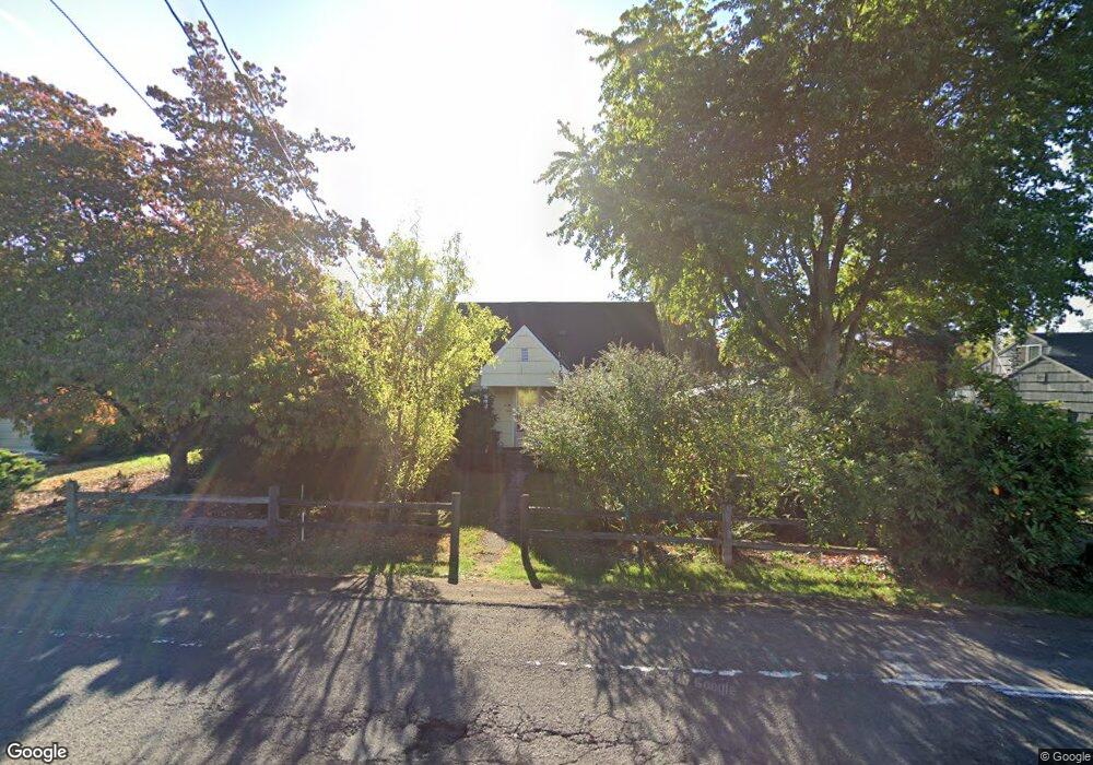
5700 SE Jennings Ave Milwaukie, OR 97267
Estimated Value: $398,000 - $449,000
2
Beds
1
Bath
1,117
Sq Ft
$381/Sq Ft
Est. Value
About This Home
This home is located at 5700 SE Jennings Ave, Milwaukie, OR 97267 and is currently estimated at $425,471, approximately $380 per square foot. 5700 SE Jennings Ave is a home located in Clackamas County with nearby schools including Candy Lane Elementary School, Jennings Lodge Elementary School, and Gardiner Middle School.
Ownership History
Date
Name
Owned For
Owner Type
Purchase Details
Closed on
May 30, 2006
Sold by
Lynch Richard T and Lynch Geraldine L
Bought by
Wills Lester Roy and Wills Kimberly Annette
Current Estimated Value
Home Financials for this Owner
Home Financials are based on the most recent Mortgage that was taken out on this home.
Original Mortgage
$127,006
Outstanding Balance
$73,658
Interest Rate
6.52%
Mortgage Type
FHA
Estimated Equity
$351,813
Purchase Details
Closed on
Jan 5, 2001
Sold by
Engelman William and Engelman Vera E
Bought by
Lynch Richard T and Lynch Geraldine L
Home Financials for this Owner
Home Financials are based on the most recent Mortgage that was taken out on this home.
Original Mortgage
$90,000
Interest Rate
7.71%
Create a Home Valuation Report for This Property
The Home Valuation Report is an in-depth analysis detailing your home's value as well as a comparison with similar homes in the area
Home Values in the Area
Average Home Value in this Area
Purchase History
| Date | Buyer | Sale Price | Title Company |
|---|---|---|---|
| Wills Lester Roy | $129,000 | Fidelity Natl Title Co Of Or | |
| Lynch Richard T | $120,000 | Fidelity National Title Co |
Source: Public Records
Mortgage History
| Date | Status | Borrower | Loan Amount |
|---|---|---|---|
| Open | Wills Lester Roy | $127,006 | |
| Previous Owner | Lynch Richard T | $90,000 |
Source: Public Records
Tax History Compared to Growth
Tax History
| Year | Tax Paid | Tax Assessment Tax Assessment Total Assessment is a certain percentage of the fair market value that is determined by local assessors to be the total taxable value of land and additions on the property. | Land | Improvement |
|---|---|---|---|---|
| 2025 | $2,767 | $156,521 | -- | -- |
| 2024 | $2,500 | $151,963 | -- | -- |
| 2023 | $2,500 | $147,537 | $0 | $0 |
| 2022 | $2,295 | $143,240 | $0 | $0 |
| 2021 | $2,200 | $139,068 | $0 | $0 |
| 2020 | $2,141 | $135,018 | $0 | $0 |
| 2019 | $2,099 | $131,086 | $0 | $0 |
| 2018 | $1,991 | $127,268 | $0 | $0 |
| 2017 | $1,942 | $123,561 | $0 | $0 |
| 2016 | $1,901 | $119,962 | $0 | $0 |
| 2015 | $1,853 | $116,468 | $0 | $0 |
| 2014 | $1,800 | $113,076 | $0 | $0 |
Source: Public Records
Map
Nearby Homes
- 5622 SE Jennings Ave
- 0 SE Portland Ave
- 5625 SE Jennings Ave
- 17853 SE Candy Ln
- 5905 SE Angel Ln
- 17634 SE Crystal Ln
- 5314 SE Jennings Ave
- 17415 SE Colina Vista Ave
- 17770 SE Cook St
- 6625 Larissa Ln
- 5227 SE Bandon Ln
- 17300 SE Oatfield Rd
- 18345 Chris Ct
- 18345 Petite Ct
- 5850 Glen Echo Ave
- 6571 Oakridge Dr
- 4860 SE Vintage Place Unit 35
- 6316 SE Jennings Ave
- 4807 SE Ina Ave
- 4803 SE Ina Ave
- 5710 SE Jennings Ave Unit 1
- 5710 SE Jennings Ave
- 5718 SE Jennings Ave
- 5680 SE Jennings Ave
- 5701 SE Jennings Ave
- 17965 SE Portland Ave
- 17807 SE Candy Ln
- 5715 SE Jennings Ave
- 17811 SE Candy Ln
- 5560 SE Jennings Ave
- 18015 SE Portland Ave
- 5726 SE Jennings Ave
- 5675 SE Jennings Ave
- 17701 SE Emerald Dr
- 18025 SE Portland Ave
- 17930 SE Rose St
- 5637 SE Jennings Ave
- 17966 SE Rose St
- 5724 SE Garnet Way
- 17831 SE Candy Ln