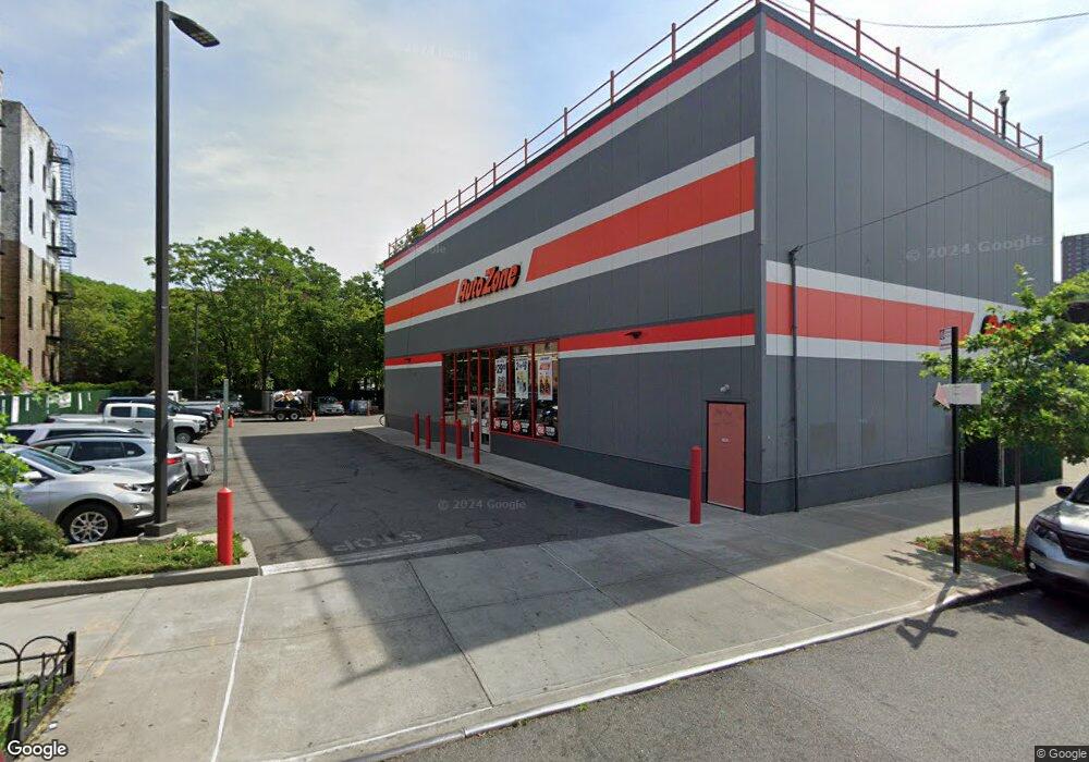
5701 Broadway Bronx, NY 10463
Kingsbridge Neighborhood
--
Bed
--
Bath
8,780
Sq Ft
0.34
Acres
About This Home
This home is located at 5701 Broadway, Bronx, NY 10463. 5701 Broadway is a home located in Bronx County with nearby schools including Milton Fein School, Pilot Butte Middle School, and Riverdale Kingsbridge Academy.
Ownership History
Date
Name
Owned For
Owner Type
Purchase Details
Closed on
Oct 15, 2008
Sold by
Amoco Oil Company and % Bp America Inc
Bought by
Amg Riverdale Realty Llc
Purchase Details
Closed on
Jan 3, 2001
Sold by
Korogluyan Arutin and Zeronian Zeron
Bought by
Amoco Oil Company
Purchase Details
Closed on
Feb 6, 1997
Sold by
Korugluyan Arutin and Zeronian Zeron
Bought by
K & Z Service Center Inc
Home Financials for this Owner
Home Financials are based on the most recent Mortgage that was taken out on this home.
Original Mortgage
$285,300
Interest Rate
7.77%
Mortgage Type
Commercial
Create a Home Valuation Report for This Property
The Home Valuation Report is an in-depth analysis detailing your home's value as well as a comparison with similar homes in the area
Home Values in the Area
Average Home Value in this Area
Purchase History
| Date | Buyer | Sale Price | Title Company |
|---|---|---|---|
| Amg Riverdale Realty Llc | $1,547,000 | -- | |
| Amg Riverdale Realty Llc | $1,547,000 | -- | |
| Amoco Oil Company | $1,325,000 | -- | |
| Amoco Oil Company | $1,325,000 | -- | |
| Korgluyan Arutin | -- | -- | |
| Korgluyan Arutin | -- | -- | |
| K & Z Service Center Inc | -- | Titleserv | |
| K & Z Service Center Inc | -- | Titleserv |
Source: Public Records
Mortgage History
| Date | Status | Borrower | Loan Amount |
|---|---|---|---|
| Previous Owner | K & Z Service Center Inc | $285,300 |
Source: Public Records
Tax History Compared to Growth
Tax History
| Year | Tax Paid | Tax Assessment Tax Assessment Total Assessment is a certain percentage of the fair market value that is determined by local assessors to be the total taxable value of land and additions on the property. | Land | Improvement |
|---|---|---|---|---|
| 2025 | $111,906 | $1,036,800 | $368,550 | $668,250 |
| 2024 | $111,906 | $1,056,510 | $368,550 | $687,960 |
| 2023 | $112,528 | $1,056,996 | $368,550 | $688,446 |
| 2022 | $108,652 | $1,010,250 | $368,550 | $641,700 |
| 2021 | $97,016 | $907,200 | $368,550 | $538,650 |
| 2020 | $113,037 | $1,207,350 | $368,550 | $838,800 |
| 2019 | $105,924 | $1,091,880 | $368,550 | $723,330 |
| 2018 | $28,776 | $368,550 | $368,550 | $0 |
| 2017 | $20,998 | $368,550 | $368,550 | $0 |
| 2016 | $33,727 | $349,200 | $157,500 | $191,700 |
| 2015 | $13,929 | $338,850 | $157,500 | $181,350 |
| 2014 | $13,929 | $316,350 | $157,500 | $158,850 |
Source: Public Records
Map
Nearby Homes
- 3123 Bailey Ave Unit 4A
- 3123 Bailey Ave Unit 3A
- 315 W 232nd St Unit 2M
- 315 W 232nd St Unit 3C
- 315 W 232nd St Unit 1F
- 290 W 232 St Unit 4D
- 3119 Bailey Ave Unit 2E
- 290 W 232nd St Unit 2C
- 3384 Fort Independence St
- 3607 Irwin Ave
- 3496 Fort Independence St
- 3099 Heath Ave Unit 2A
- 3488 Cannon Place
- 3130 Irwin Ave Unit 2C
- 3083 Heath Ave
- 3475 Greystone Ave Unit 7E
- 190 W 239th St
- 3585 Greystone Ave Unit 3E
- 3585 Greystone Ave Unit 3DE
- 3650 Waldo Ave
- 5723 Broadway
- 5721 Broadway
- 5673-5695 Broadway
- 3410 Kingsbridge Ave
- 3424 Kingsbridge Ave
- 3316 Kingsbridge Ave Unit 6B
- 5720 Broadway
- 5716 Broadway
- 3246 Kingsbridge Ave
- 3246 Kingsbridge Ave Unit 25
- 3246 Kingsbridge Ave Unit 4
- 3246 Kingsbridge Ave Unit 1
- 3246 Kingsbridge Ave Unit 53
- 3246 Kingsbridge Ave Unit 55
- 3246 Kingsbridge Ave Unit 52
- 3246 Kingsbridge Ave Unit 6
- 3246 Kingsbridge Ave Unit 26
- 5731 Broadway
- 5661-5669 Broadway
- 3240 Kingsbridge Ave