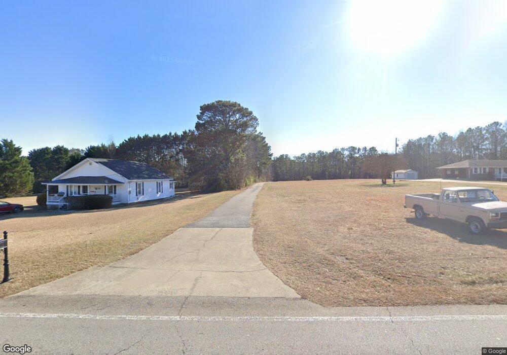
5701 Due Rd W Kennesaw, GA 30152
West Cobb NeighborhoodEstimated Value: $1,173,000 - $1,350,082
4
Beds
7
Baths
4,773
Sq Ft
$256/Sq Ft
Est. Value
About This Home
This home is located at 5701 Due Rd W, Kennesaw, GA 30152 and is currently estimated at $1,222,771, approximately $256 per square foot. 5701 Due Rd W is a home located in Cobb County with nearby schools including Vaughan Elementary School, Lost Mountain Middle School, and Harrison High School.
Ownership History
Date
Name
Owned For
Owner Type
Purchase Details
Closed on
Jun 24, 2022
Sold by
Keith Jr Charles P
Bought by
Keith Charles P and Keith Denise
Current Estimated Value
Purchase Details
Closed on
Mar 28, 2017
Sold by
David Van Valkenburg H
Bought by
Keith Charles P
Home Financials for this Owner
Home Financials are based on the most recent Mortgage that was taken out on this home.
Original Mortgage
$588,725
Interest Rate
4.1%
Mortgage Type
VA
Create a Home Valuation Report for This Property
The Home Valuation Report is an in-depth analysis detailing your home's value as well as a comparison with similar homes in the area
Home Values in the Area
Average Home Value in this Area
Purchase History
| Date | Buyer | Sale Price | Title Company |
|---|---|---|---|
| Keith Charles P | -- | Mcmurray Legal Group Llc | |
| Keith Charles P | $632,000 | -- |
Source: Public Records
Mortgage History
| Date | Status | Borrower | Loan Amount |
|---|---|---|---|
| Previous Owner | Keith Charles P | $588,725 |
Source: Public Records
Tax History Compared to Growth
Tax History
| Year | Tax Paid | Tax Assessment Tax Assessment Total Assessment is a certain percentage of the fair market value that is determined by local assessors to be the total taxable value of land and additions on the property. | Land | Improvement |
|---|---|---|---|---|
| 2025 | $3,441 | $456,544 | $160,108 | $296,436 |
| 2024 | $3,451 | $456,544 | $160,108 | $296,436 |
| 2023 | $3,066 | $397,000 | $149,252 | $247,748 |
| 2022 | $3,075 | $331,048 | $119,400 | $211,648 |
| 2021 | $3,075 | $331,048 | $119,400 | $211,648 |
| 2020 | $2,917 | $277,928 | $97,692 | $180,236 |
| 2019 | $2,917 | $277,928 | $97,692 | $180,236 |
| 2018 | $2,810 | $252,800 | $88,240 | $164,560 |
| 2017 | $1,809 | $256,516 | $89,552 | $166,964 |
| 2016 | $1,698 | $218,276 | $70,556 | $147,720 |
| 2015 | $1,749 | $200,060 | $67,840 | $132,220 |
| 2014 | $1,779 | $200,060 | $0 | $0 |
Source: Public Records
Map
Nearby Homes
- 718 1st Cotton Dr
- 632 Owl Creek Dr
- The Sadie Plan at Livingstone Park
- The Carie Plan at Livingstone Park
- The Cameron Plan at Livingstone Park
- The Melissa Plan at Livingstone Park
- The Whitney Plan at Livingstone Park
- 870 Fairwood Pointe NW
- 5567 Forest Edge Ln NW
- 403 Wild Iris Ln Unit 6
- 265 Holland Rd
- 6049 Braidwood Close NW Unit 5
- 5900 Pavillion Dr
- 5882 Grandview Ct NW
- 5725 Fairwood Dr NW
- 582 Braidwood Dr NW
- 691 Braidwood Terrace NW
- 6100 Braidwood Ct NW
- 5570 Fords Crossing Ct NW
- 5701 Due West Rd NW
- 5701 Due West Rd NW
- 636 Teague Dr NW
- 0 1st Cotton Dr Unit 8452259
- 0 1st Cotton Dr Unit 8867192
- 0 1st Cotton Dr Unit 8891469
- 0 1st Cotton Dr
- 723 First Cotton Dr
- 660 Teague Dr NW
- 670 Teague Dr NW
- 721 First Cotton Dr
- 727 First Cotton Dr Unit 1
- 5719 Due West Rd NW
- 680 Teague Dr NW
- 729 First Cotton Dr
- 650 Teague Dr NW
- 690 Teague Dr NW
- 831 First Cotton Ct
- 00 Brown Store Rd NW
- 0 Brown Store Rd NW