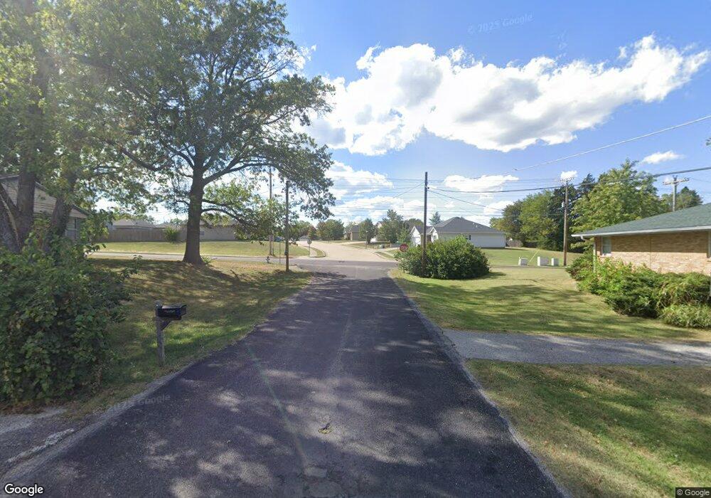
5701 S Highway 163 Columbia, MO 65203
Estimated Value: $518,000 - $653,000
4
Beds
3
Baths
2,492
Sq Ft
$244/Sq Ft
Est. Value
About This Home
This home is located at 5701 S Highway 163, Columbia, MO 65203 and is currently estimated at $608,822, approximately $244 per square foot. 5701 S Highway 163 is a home with nearby schools including Rock Bridge Elementary School, Ann Hawkins Gentry Middle School, and Rock Bridge High School.
Ownership History
Date
Name
Owned For
Owner Type
Purchase Details
Closed on
Jun 7, 2016
Sold by
Finn Mark
Bought by
Sehwarz Tom and Sehwarz Haley C
Current Estimated Value
Home Financials for this Owner
Home Financials are based on the most recent Mortgage that was taken out on this home.
Original Mortgage
$344,000
Outstanding Balance
$273,786
Interest Rate
3.57%
Mortgage Type
New Conventional
Estimated Equity
$335,036
Create a Home Valuation Report for This Property
The Home Valuation Report is an in-depth analysis detailing your home's value as well as a comparison with similar homes in the area
Home Values in the Area
Average Home Value in this Area
Purchase History
| Date | Buyer | Sale Price | Title Company |
|---|---|---|---|
| Sehwarz Tom | -- | Bonne Central Title Co | |
| Flinn Mark | -- | None Available |
Source: Public Records
Mortgage History
| Date | Status | Borrower | Loan Amount |
|---|---|---|---|
| Open | Flinn Mark | $344,000 | |
| Closed | Sehwarz Tom | $344,000 |
Source: Public Records
Tax History Compared to Growth
Tax History
| Year | Tax Paid | Tax Assessment Tax Assessment Total Assessment is a certain percentage of the fair market value that is determined by local assessors to be the total taxable value of land and additions on the property. | Land | Improvement |
|---|---|---|---|---|
| 2025 | $6,256 | $95,155 | $14,709 | $80,446 |
| 2024 | $6,256 | $86,510 | $14,709 | $71,801 |
| 2023 | $6,203 | $86,510 | $14,709 | $71,801 |
| 2022 | $5,739 | $80,107 | $14,709 | $65,398 |
| 2021 | $5,748 | $80,107 | $14,709 | $65,398 |
| 2020 | $5,438 | $71,533 | $14,710 | $56,823 |
| 2019 | $5,439 | $71,533 | $14,710 | $56,823 |
| 2018 | $5,067 | $0 | $0 | $0 |
| 2017 | $5,010 | $66,234 | $14,710 | $51,524 |
| 2016 | $5,001 | $66,234 | $14,710 | $51,524 |
| 2015 | $4,619 | $66,234 | $14,710 | $51,524 |
| 2014 | -- | $66,234 | $14,710 | $51,524 |
Source: Public Records
Map
Nearby Homes
- LOT 132 Clear Creek Estates
- 214 Hellwig Ln
- 210 Hellwig Ln
- 141 Donald Neil Ct
- 5657 Ralph Dobbs Way
- 5663 Ralph Dobbs Way
- LOT 108A Clear Creek Estates
- LOT 139 Clear Creek Estates
- LOT 118 Clear Creek Estates
- LOT 109 Clear Creek Estates
- LOT 131 Clear Creek Estates
- LOT 133 Clear Creek Estates
- 201 E Old Plank Rd
- 5411 Heath Ct
- 350 W Route K
- 29 N Cedar Lake Dr W Unit 208
- 6201 S Ridgewood Rd
- 4733 Brandon Woods St
- 525 W Bethel Dr
- 103 Maple Grove Way
- 820 E Happy Hollow Rd
- 800 E Happy Hollow Rd
- 801 E Happy Hollow Rd
- 801 E Happy Hollow Rd
- 5745 S Cordevalle Ct
- LOT 119 Clear Creek Estates
- 5655 S Cordevalle Ct
- 5510 Cabot Links Dr
- 5550 S Highway 163
- 809 E Happy Hollow Rd
- LOT 126 Clear Creek Estates
- 5201 S Highway 163
- 217 Hellwig Ln
- 215 Hellwig Ln
- 213 Hellwig Ln
- 217 William Smith Place
- 211 Hellwig Ln
- 219 William Smith Place
- 218 Hellwig Ln
- 213 William Smith Place
