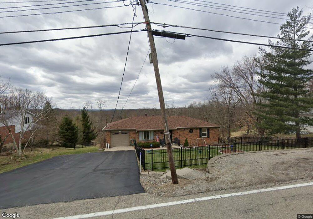
5702 Dunlap Rd Cincinnati, OH 45252
Estimated Value: $255,415 - $308,000
2
Beds
1
Bath
1,288
Sq Ft
$218/Sq Ft
Est. Value
About This Home
This home is located at 5702 Dunlap Rd, Cincinnati, OH 45252 and is currently estimated at $280,354, approximately $217 per square foot. 5702 Dunlap Rd is a home located in Hamilton County with nearby schools including Colerain Elementary School, Colerain Middle School, and Colerain High School.
Ownership History
Date
Name
Owned For
Owner Type
Purchase Details
Closed on
May 13, 1996
Sold by
Jacobs Violet
Bought by
Jacobs Clifford N and Jacobs Gayla E
Current Estimated Value
Home Financials for this Owner
Home Financials are based on the most recent Mortgage that was taken out on this home.
Original Mortgage
$50,601
Outstanding Balance
$2,825
Interest Rate
7.78%
Mortgage Type
Seller Take Back
Estimated Equity
$277,529
Create a Home Valuation Report for This Property
The Home Valuation Report is an in-depth analysis detailing your home's value as well as a comparison with similar homes in the area
Home Values in the Area
Average Home Value in this Area
Purchase History
| Date | Buyer | Sale Price | Title Company |
|---|---|---|---|
| Jacobs Clifford N | $50,700 | -- |
Source: Public Records
Mortgage History
| Date | Status | Borrower | Loan Amount |
|---|---|---|---|
| Open | Jacobs Clifford N | $50,601 |
Source: Public Records
Tax History Compared to Growth
Tax History
| Year | Tax Paid | Tax Assessment Tax Assessment Total Assessment is a certain percentage of the fair market value that is determined by local assessors to be the total taxable value of land and additions on the property. | Land | Improvement |
|---|---|---|---|---|
| 2024 | $2,947 | $74,879 | $17,248 | $57,631 |
| 2023 | $3,544 | $74,879 | $17,248 | $57,631 |
| 2022 | $3,207 | $57,236 | $17,413 | $39,823 |
| 2021 | $3,174 | $57,236 | $17,413 | $39,823 |
| 2020 | $3,214 | $57,236 | $17,413 | $39,823 |
| 2019 | $3,212 | $53,995 | $16,426 | $37,569 |
| 2018 | $2,883 | $53,995 | $16,426 | $37,569 |
| 2017 | $2,728 | $53,995 | $16,426 | $37,569 |
| 2016 | $2,572 | $50,908 | $16,097 | $34,811 |
| 2015 | $2,601 | $50,908 | $16,097 | $34,811 |
| 2014 | $2,606 | $50,908 | $16,097 | $34,811 |
| 2013 | $3,201 | $51,948 | $16,426 | $35,522 |
Source: Public Records
Map
Nearby Homes
- 4255 Miamitrail Ln
- 0 Miamitrail Ln Unit 1852362
- 5285 Yeatman Rd
- 6037 Dunlap Rd
- 0 Stone Mill Rd Unit 1846428
- 1 Stone Mill Rd
- 5380 Stonetrace Dr
- 10989 Colerain Ave
- 0 Thrush Ave Unit 1853359
- 2107 Robin Ave
- 11050 E Miami River Rd
- 5865 Day Rd
- 5567 Day Rd
- 5560 Birch Dr
- 5608 Birch Dr
- 3674 Silax Dr Vc92
- 2781 Logan Ln Vc103
- 4144 Bruce Dr
- 6575 River Rd
- 26 Rylan Dr
- 5708 Dunlap Rd
- 5698 Dunlap Rd
- 5705 Dunlap Rd
- 5714 Dunlap Rd
- 5715 Dunlap Rd
- 5704 Squirrelsnest Ln
- 5686 Dunlap Rd
- 5712 Squirrelsnest Ln
- 5730 Squirrelsnest Ln
- 5739 Squirrelsnest Ln
- 5673 Dunlap Rd
- 5744 Squirrelsnest Ln
- 5680 Dunlap Rd
- 5730 Dunlap Rd
- 5725 Dunlap Rd
- 5708 Squirrelsnest Ln
- 5672 Dunlap Rd
- 5758 Squirrelsnest Ln
- 5750 Squirrelsnest Ln
- 5757 Squirrelsnest Ln