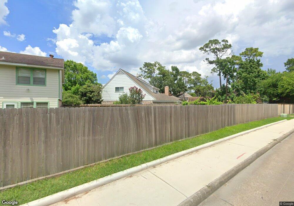
5702 Randon Rd Houston, TX 77091
Oak Forest-Garden Oaks NeighborhoodEstimated Value: $506,000 - $570,000
5
Beds
4
Baths
3,290
Sq Ft
$165/Sq Ft
Est. Value
About This Home
This home is located at 5702 Randon Rd, Houston, TX 77091 and is currently estimated at $541,441, approximately $164 per square foot. 5702 Randon Rd is a home located in Harris County with nearby schools including Clifton Middle, Scarborough High School, and Southwest Schools Mangum El Campus.
Ownership History
Date
Name
Owned For
Owner Type
Purchase Details
Closed on
Jun 21, 1999
Sold by
Burres Keith E and Burres Glenda M Mckenney
Bought by
Wolfe Richard A and Wolfe Johanna Thompson
Current Estimated Value
Home Financials for this Owner
Home Financials are based on the most recent Mortgage that was taken out on this home.
Original Mortgage
$132,000
Outstanding Balance
$34,985
Interest Rate
7.11%
Estimated Equity
$506,456
Create a Home Valuation Report for This Property
The Home Valuation Report is an in-depth analysis detailing your home's value as well as a comparison with similar homes in the area
Home Values in the Area
Average Home Value in this Area
Purchase History
| Date | Buyer | Sale Price | Title Company |
|---|---|---|---|
| Wolfe Richard A | -- | Houston Title Co |
Source: Public Records
Mortgage History
| Date | Status | Borrower | Loan Amount |
|---|---|---|---|
| Open | Wolfe Richard A | $132,000 |
Source: Public Records
Tax History Compared to Growth
Tax History
| Year | Tax Paid | Tax Assessment Tax Assessment Total Assessment is a certain percentage of the fair market value that is determined by local assessors to be the total taxable value of land and additions on the property. | Land | Improvement |
|---|---|---|---|---|
| 2025 | $2,002 | $477,771 | $167,535 | $310,236 |
| 2024 | $2,002 | $415,200 | $167,535 | $247,665 |
| 2023 | $2,002 | $390,000 | $147,825 | $242,175 |
| 2022 | $8,581 | $400,577 | $147,825 | $252,752 |
| 2021 | $8,257 | $354,280 | $98,550 | $255,730 |
| 2020 | $8,292 | $342,403 | $98,550 | $243,853 |
| 2019 | $8,847 | $349,603 | $98,550 | $251,053 |
| 2018 | $6,280 | $323,528 | $98,550 | $224,978 |
| 2017 | $8,145 | $366,912 | $98,550 | $268,362 |
| 2016 | $7,404 | $349,068 | $98,550 | $250,518 |
| 2015 | $4,823 | $313,014 | $98,550 | $214,464 |
| 2014 | $4,823 | $277,200 | $68,985 | $208,215 |
Source: Public Records
Map
Nearby Homes
- 4906 Droddy St
- 5010 Oak Shadows Dr
- 5610 Oak Trail Ln
- 5511 Oak Trail Ln
- 4702 Bayou Vista Dr
- 5609 Savyon Dr
- 3422 Mansfield St
- 5451 Oakhaven Ln
- 5608 Savyon Dr
- 3402 Paul Quinn St
- 5014 Golden Forest Dr
- 5016 Golden Forest Dr
- 3414 Mansfield St
- 5018 Golden Forest Dr
- 6024 T C Jester Blvd
- 5036 Golden Forest Dr
- 3406 Mansfield St
- 4923 Golden Forest Dr
- 4923 Golden Forest Dr Unit A
- 5013 Golden Forest Dr
- 4911 Caris St
- 5706 Randon Rd
- 5703 Randon Rd
- 4910 Caris St
- 5707 Randon Rd
- 5710 Randon Rd
- 4915 Droddy St
- 4907 Caris St
- 5711 Randon Rd
- 4934 Bayou Vista Dr
- 4926 Bayou Vista Dr
- 4942 Bayou Vista Dr
- 4911 Droddy St
- 4906 Caris St
- 4918 Bayou Vista Dr
- 5011 Droddy St
- 4946 Bayou Vista Dr
- 5007 Droddy St
- 4907 Droddy St
- 4903 Caris St
