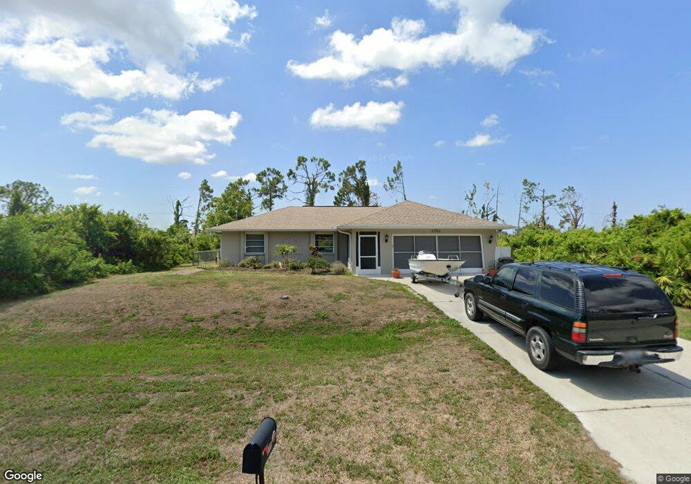
5705 Gillot Blvd Port Charlotte, FL 33981
Gulf Cove NeighborhoodEstimated Value: $229,542 - $270,000
3
Beds
2
Baths
1,248
Sq Ft
$202/Sq Ft
Est. Value
About This Home
This home is located at 5705 Gillot Blvd, Port Charlotte, FL 33981 and is currently estimated at $252,386, approximately $202 per square foot. 5705 Gillot Blvd is a home located in Charlotte County with nearby schools including Myakka River Elementary School, L.A. Ainger Middle School, and Lemon Bay High School.
Ownership History
Date
Name
Owned For
Owner Type
Purchase Details
Closed on
Oct 10, 2006
Sold by
Wertheim Anna
Bought by
Gulsby Timothy R
Current Estimated Value
Home Financials for this Owner
Home Financials are based on the most recent Mortgage that was taken out on this home.
Original Mortgage
$140,000
Outstanding Balance
$83,495
Interest Rate
6.45%
Mortgage Type
New Conventional
Estimated Equity
$168,891
Create a Home Valuation Report for This Property
The Home Valuation Report is an in-depth analysis detailing your home's value as well as a comparison with similar homes in the area
Home Values in the Area
Average Home Value in this Area
Purchase History
| Date | Buyer | Sale Price | Title Company |
|---|---|---|---|
| Gulsby Timothy R | $175,000 | None Available |
Source: Public Records
Mortgage History
| Date | Status | Borrower | Loan Amount |
|---|---|---|---|
| Open | Gulsby Timothy R | $140,000 |
Source: Public Records
Tax History Compared to Growth
Tax History
| Year | Tax Paid | Tax Assessment Tax Assessment Total Assessment is a certain percentage of the fair market value that is determined by local assessors to be the total taxable value of land and additions on the property. | Land | Improvement |
|---|---|---|---|---|
| 2023 | $1,337 | $80,557 | $0 | $0 |
| 2022 | $1,251 | $78,211 | $0 | $0 |
| 2021 | $1,228 | $75,933 | $0 | $0 |
| 2020 | $1,215 | $74,885 | $0 | $0 |
| 2019 | $1,150 | $73,201 | $0 | $0 |
| 2018 | $1,053 | $71,836 | $0 | $0 |
| 2017 | $1,049 | $70,358 | $0 | $0 |
| 2016 | $1,048 | $68,911 | $0 | $0 |
| 2015 | $1,034 | $68,432 | $0 | $0 |
| 2014 | $1,014 | $67,889 | $0 | $0 |
Source: Public Records
Map
Nearby Homes
- 13266 Drysdale Ave
- 13264 Foresman Blvd
- 13280 Foresman Blvd
- 13297 Flaherty Ave
- 13315 Flaherty Ave
- 13208 Foresman Blvd
- 13323 Flaherty Ave
- 13301 Foresman Blvd
- 13309 Foresman Blvd
- 5410 Stokes St
- 13339 Flaherty Ave
- 13316 Darnell Ave
- 5383 Phelps Ln
- 12475 Sunniland Ave
- 13363 Drysdale Ave
- 5431 Joslyn Terrace
- 13360 Foresman Blvd
- 13371 Drysdale Ave
- 13367 Darnell Ave
- 5634 Anderson Rd
- 13274 Drysdale Ave
- 5495 Stokes St
- 5681 Gillot Blvd
- 13234 Drysdale Ave
- 13259 Drysdale Ave
- 13267 Drysdale Ave
- 5673 Gillot Blvd
- 13275 Drysdale Ave
- 13226 Drysdale Ave
- 5745 Gillot Blvd
- 13235 Drysdale Ave
- 13296 Drysdale Ave
- 13248 Foresman Blvd
- 13227 Drysdale Ave
- 5665 Gillot Blvd
- 13306 Drysdale Ave
- 5447 Stokes St
- 13240 Foresman Blvd
- 5478 Stokes St
- 13232 Foresman Blvd