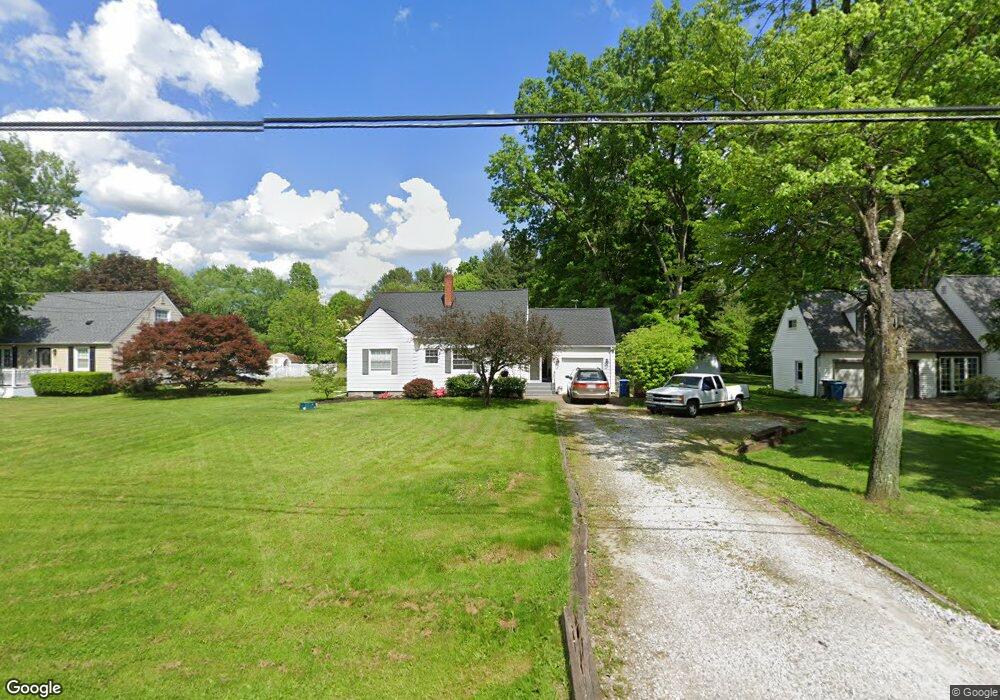
5705 Myers Rd New Franklin, OH 44319
Estimated Value: $199,016 - $217,000
3
Beds
1
Bath
856
Sq Ft
$240/Sq Ft
Est. Value
About This Home
This home is located at 5705 Myers Rd, New Franklin, OH 44319 and is currently estimated at $205,504, approximately $240 per square foot. 5705 Myers Rd is a home located in Summit County.
Ownership History
Date
Name
Owned For
Owner Type
Purchase Details
Closed on
May 8, 2001
Sold by
Eisel Leslie B and Eisel Mary Jane
Bought by
Watson Ii Keith W and Watson Christina J
Current Estimated Value
Home Financials for this Owner
Home Financials are based on the most recent Mortgage that was taken out on this home.
Original Mortgage
$80,000
Interest Rate
6.99%
Create a Home Valuation Report for This Property
The Home Valuation Report is an in-depth analysis detailing your home's value as well as a comparison with similar homes in the area
Home Values in the Area
Average Home Value in this Area
Purchase History
| Date | Buyer | Sale Price | Title Company |
|---|---|---|---|
| Watson Ii Keith W | $100,000 | American Certified Title |
Source: Public Records
Mortgage History
| Date | Status | Borrower | Loan Amount |
|---|---|---|---|
| Closed | Watson Ii Keith W | $80,000 |
Source: Public Records
Tax History Compared to Growth
Tax History
| Year | Tax Paid | Tax Assessment Tax Assessment Total Assessment is a certain percentage of the fair market value that is determined by local assessors to be the total taxable value of land and additions on the property. | Land | Improvement |
|---|---|---|---|---|
| 2025 | $2,921 | $58,517 | $16,559 | $41,958 |
| 2024 | $2,921 | $58,517 | $16,559 | $41,958 |
| 2023 | $2,921 | $58,517 | $16,559 | $41,958 |
| 2022 | $2,664 | $41,570 | $11,743 | $29,827 |
| 2021 | $2,674 | $41,570 | $11,743 | $29,827 |
| 2020 | $2,703 | $41,570 | $11,740 | $29,830 |
| 2019 | $2,672 | $37,880 | $9,610 | $28,270 |
| 2018 | $2,305 | $37,880 | $9,610 | $28,270 |
| 2017 | $2,239 | $37,880 | $9,610 | $28,270 |
| 2016 | $2,213 | $33,340 | $9,610 | $23,730 |
| 2015 | $2,239 | $33,340 | $9,610 | $23,730 |
| 2014 | $2,222 | $33,340 | $9,610 | $23,730 |
| 2013 | $2,214 | $33,400 | $9,610 | $23,790 |
Source: Public Records
Map
Nearby Homes
- 451 Yager Rd
- 5776 Harter Home Dr
- 427 Center Rd
- 715 Highland Park Dr
- 6407 Southview Dr
- 781 Leeman Dr
- 899 Loway Dr
- 6090 Manchester Rd Unit 6096
- 1062 Stump Rd
- 5892 Woodward Dr
- S/L 14,15 Shakes Hotel Dr
- 6387 Hampsher Rd
- 0 W Comet Rd Unit 5079117
- 4944 Coleman Dr
- 6 Shrakes Hotel Dr
- 4 Shrakes Hotel Dr
- 7 Shrakes Hotel Dr
- 5 Shrakes Hotel Dr
- 3 Shrakes Hotel Dr
- 4881 S Main St