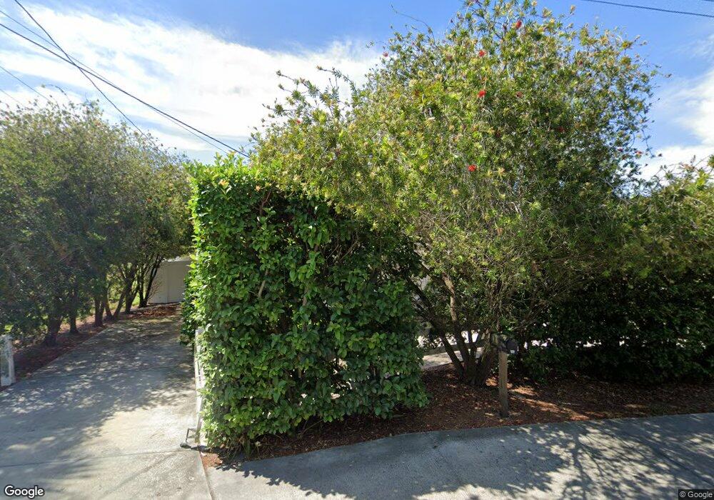
5706 Massachusetts Ave New Port Richey, FL 34652
Downtown New Port Richey NeighborhoodEstimated Value: $206,000 - $245,000
2
Beds
2
Baths
1,274
Sq Ft
$180/Sq Ft
Est. Value
About This Home
This home is located at 5706 Massachusetts Ave, New Port Richey, FL 34652 and is currently estimated at $229,056, approximately $179 per square foot. 5706 Massachusetts Ave is a home located in Pasco County with nearby schools including Richey Elementary School, Gulf Middle School, and Gulf High School.
Ownership History
Date
Name
Owned For
Owner Type
Purchase Details
Closed on
Mar 22, 2012
Sold by
Jay Mary Sue
Bought by
Taylor Foster Allen and Taylor Foster Alexander
Current Estimated Value
Purchase Details
Closed on
Jun 13, 2000
Sold by
Allen Mary K and Allen Rex
Bought by
Jay Mary S
Home Financials for this Owner
Home Financials are based on the most recent Mortgage that was taken out on this home.
Original Mortgage
$60,040
Interest Rate
8.11%
Mortgage Type
New Conventional
Purchase Details
Closed on
Jul 23, 1999
Sold by
Mills Edward W and Mills Maria
Bought by
Allen Mary K
Create a Home Valuation Report for This Property
The Home Valuation Report is an in-depth analysis detailing your home's value as well as a comparison with similar homes in the area
Home Values in the Area
Average Home Value in this Area
Purchase History
| Date | Buyer | Sale Price | Title Company |
|---|---|---|---|
| Taylor Foster Allen | $67,500 | Attorney | |
| Jay Mary S | $63,200 | -- | |
| Allen Mary K | $50,000 | -- |
Source: Public Records
Mortgage History
| Date | Status | Borrower | Loan Amount |
|---|---|---|---|
| Previous Owner | Allen Mary K | $60,040 |
Source: Public Records
Tax History Compared to Growth
Tax History
| Year | Tax Paid | Tax Assessment Tax Assessment Total Assessment is a certain percentage of the fair market value that is determined by local assessors to be the total taxable value of land and additions on the property. | Land | Improvement |
|---|---|---|---|---|
| 2025 | $1,431 | $103,340 | -- | -- |
| 2024 | $1,431 | $100,430 | -- | -- |
| 2023 | $1,379 | $97,510 | $0 | $0 |
| 2022 | $1,351 | $94,670 | $0 | $0 |
| 2021 | $1,303 | $91,920 | $56,200 | $35,720 |
| 2020 | $1,280 | $90,660 | $45,663 | $44,997 |
| 2019 | $1,238 | $88,630 | $0 | $0 |
| 2018 | $1,205 | $86,984 | $0 | $0 |
| 2017 | $1,185 | $86,984 | $0 | $0 |
| 2016 | $1,139 | $83,443 | $0 | $0 |
| 2015 | $1,148 | $82,863 | $0 | $0 |
| 2014 | $1,134 | $82,205 | $29,856 | $52,349 |
Source: Public Records
Map
Nearby Homes
- 5700 Olive Dr
- 5714 Olive Dr
- 7124 Jasmin Dr
- 5737 Michigan Ave
- 5523 Carlton Rd
- 5436 Palmetto Rd
- 5433 Palmetto Rd
- 5724 Casson Ave
- 5406 Dartmouth Rd
- 5334 Dartmouth Rd
- 5333 Dartmouth Rd
- 7139 Adare Dr
- 5312 Dartmouth Rd
- 5323 Carlton Rd
- 5538 Indiana Ave
- 7132 Adare Dr
- 6102 Massachusetts Ave
- 7342 Grand Blvd
- 5351 Avery Rd
- 7348 Grand Blvd
- 6956 Grand Blvd
- 0 Massachusetts & Lenox Ave Unit W7469586
- 6939 Washington St
- 6950 Grand Blvd
- 6942 Grand Blvd
- 7002 Grand Blvd
- 7008 Grand Blvd
- 6921 Washington St
- 6929 Washington St
- 6936 Grand Blvd
- 7014 Grand Blvd
- 5653 Vermont Ave
- 5730 Massachusetts Ave
- 6932 Washington St
- 5727 Massachusetts Ave
- 5647 Vermont Ave
- 6926 Washington St
- 5717 Vermont Ave
- 6924 Grand Blvd
- 7020 Grand Blvd