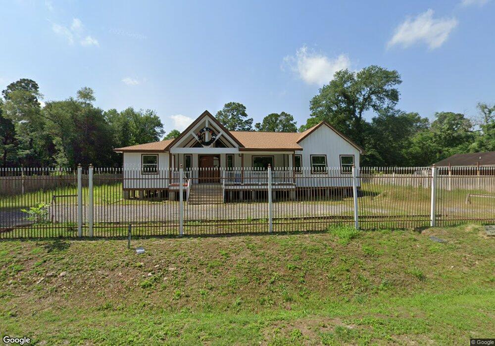
5706 Pate Rd Houston, TX 77016
East Little York NeighborhoodEstimated Value: $325,000 - $434,033
3
Beds
2
Baths
2,196
Sq Ft
$169/Sq Ft
Est. Value
About This Home
This home is located at 5706 Pate Rd, Houston, TX 77016 and is currently estimated at $371,758, approximately $169 per square foot. 5706 Pate Rd is a home with nearby schools including Shadydale Elementary School, Forest Brook Middle, and North Forest High School.
Ownership History
Date
Name
Owned For
Owner Type
Purchase Details
Closed on
Aug 20, 2018
Sold by
Metz John Michael
Bought by
Rosales Peter
Current Estimated Value
Purchase Details
Closed on
Aug 4, 2015
Sold by
Enriquez Manuel
Bought by
Metz John Michael
Purchase Details
Closed on
Aug 11, 2005
Sold by
Ashton Alexander Pauline and Ashton Alexander Jr
Bought by
Enriquez Manuel
Create a Home Valuation Report for This Property
The Home Valuation Report is an in-depth analysis detailing your home's value as well as a comparison with similar homes in the area
Home Values in the Area
Average Home Value in this Area
Purchase History
| Date | Buyer | Sale Price | Title Company |
|---|---|---|---|
| Rosales Peter | -- | Stewart Title | |
| Metz John Michael | $11,000 | None Available | |
| Enriquez Manuel | -- | Texas American Title Company |
Source: Public Records
Tax History Compared to Growth
Tax History
| Year | Tax Paid | Tax Assessment Tax Assessment Total Assessment is a certain percentage of the fair market value that is determined by local assessors to be the total taxable value of land and additions on the property. | Land | Improvement |
|---|---|---|---|---|
| 2025 | $6,727 | $483,170 | $166,470 | $316,700 |
| 2024 | $6,727 | $452,987 | $144,990 | $307,997 |
| 2023 | $6,056 | $456,032 | $91,290 | $364,742 |
| 2022 | $8,584 | $389,859 | $91,290 | $298,569 |
| 2021 | $7,126 | $305,747 | $64,440 | $241,307 |
| 2020 | $1,560 | $64,440 | $64,440 | $0 |
| 2019 | $1,141 | $45,108 | $45,108 | $0 |
| 2018 | $951 | $37,590 | $37,590 | $0 |
| 2017 | $950 | $37,590 | $37,590 | $0 |
| 2016 | $570 | $22,554 | $22,554 | $0 |
| 2015 | $240 | $9,324 | $9,324 | $0 |
| 2014 | $240 | $9,324 | $9,324 | $0 |
Source: Public Records
Map
Nearby Homes
- 5914 Breland St
- 5203 Mayle St
- 5125 Mayle St
- 5418 Parker Rd
- 5621 Haywood St
- 5713 Rietta St
- 5715 Rietta St
- 9711 Bertwood St
- 7902 S Lockwood Dr
- 4708 Antha St
- 9705 Peachtree St
- 9603 Bertwood St
- 9838 Camay Dr
- 5413 Glen Nook Dr
- 7631 Hirsch Rd
- 0 Haywood St Unit 63273227
- 9421 Sandra St
- 6206 Antha St
- 9410 Dandy St
- 9325 Grady St
- 5702 Pate Rd
- 5620 Pate Rd
- 5812 Pate Rd
- 5618 Pate Rd
- 5626 Pate
- 5630 Pate
- 5623 Pate Rd
- 5711 Breland St Unit b
- 5711 Breland St Unit A
- 5711 Breland St
- 5709 Breland St
- 5709 Breland St Unit B
- 5709 Breland St Unit A
- 5709 Breland St
- 5619 Pate Rd
- 5707 Breland St Unit B
- 5707 Breland St Unit B
- 5707 Breland St
- 5709 Pate Rd
- 5705 Breland St Unit B