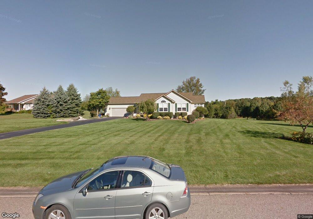
5707 Carter Ct Unit 10 Howell, MI 48843
Estimated Value: $378,673 - $405,000
Studio
2
Baths
1,428
Sq Ft
$273/Sq Ft
Est. Value
About This Home
This home is located at 5707 Carter Ct Unit 10, Howell, MI 48843 and is currently estimated at $390,418, approximately $273 per square foot. 5707 Carter Ct Unit 10 is a home located in Livingston County with nearby schools including Parker Middle School, Howell High School, and Light of the World Academy.
Ownership History
Date
Name
Owned For
Owner Type
Purchase Details
Closed on
Jul 13, 2023
Sold by
Cook Dennis A and Cook Jo Ann
Bought by
Cook Dennis A and Cook Jo Ann
Current Estimated Value
Purchase Details
Closed on
Jul 11, 2023
Sold by
Cook Dennis A and Cook Jo Ann
Bought by
Cook Dennis A and Cook Dennis A
Purchase Details
Closed on
Feb 24, 1999
Sold by
Runyan Bros Construction Llc
Bought by
Cook Dennis A and Cook Jo Ann
Home Financials for this Owner
Home Financials are based on the most recent Mortgage that was taken out on this home.
Original Mortgage
$118,000
Interest Rate
6.85%
Mortgage Type
Purchase Money Mortgage
Create a Home Valuation Report for This Property
The Home Valuation Report is an in-depth analysis detailing your home's value as well as a comparison with similar homes in the area
Home Values in the Area
Average Home Value in this Area
Purchase History
| Date | Buyer | Sale Price | Title Company |
|---|---|---|---|
| Cook Dennis A | -- | None Listed On Document | |
| Cook Dennis A | $172,400 | Great Lakes Title |
Source: Public Records
Mortgage History
| Date | Status | Borrower | Loan Amount |
|---|---|---|---|
| Previous Owner | Cook Dennis A | $118,000 |
Source: Public Records
Tax History
| Year | Tax Paid | Tax Assessment Tax Assessment Total Assessment is a certain percentage of the fair market value that is determined by local assessors to be the total taxable value of land and additions on the property. | Land | Improvement |
|---|---|---|---|---|
| 2025 | $1,619 | $169,700 | $0 | $0 |
| 2024 | $1,573 | $178,700 | $0 | $0 |
| 2023 | $1,503 | $164,800 | $0 | $0 |
| 2022 | $2,044 | $112,800 | $0 | $0 |
| 2021 | $1,993 | $112,800 | $0 | $0 |
| 2020 | $2,029 | $106,500 | $0 | $0 |
| 2019 | $2,001 | $104,200 | $0 | $0 |
| 2018 | $1,976 | $111,100 | $0 | $0 |
| 2017 | $1,951 | $101,800 | $0 | $0 |
| 2016 | $1,940 | $101,200 | $0 | $0 |
| 2014 | $1,811 | $84,300 | $0 | $0 |
| 2012 | $1,811 | $78,300 | $0 | $0 |
Source: Public Records
Map
Nearby Homes
- 05 Prince Edward Dr
- 0000 Brighton Rd
- 1 Brighton Rd
- 4681 Roya Trail
- 4315 Gale Dr
- 2105 Webster Park Dr
- 2146 Webster Park Dr
- 2921 Clivedon Rd
- 2763 Clivedon Rd
- 2878 Clivedon Rd
- 3530 Kipling Cir
- 411 Rush Lake Rd
- 4539 Parker Dr
- Parcel 1 E Coon Lake Rd
- Parcel 2 E Coon Lake Rd
- 0 Pinckney Rd Unit 50200988
- 3760 Southwick Dr
- 6458 Richardson Rd
- 8630 Joey Dr
- 8655 Joeys Dr
- 5693 Carter Ct Unit 11
- 5727 Carter Ct Unit 9
- 255 Dinkel Dr
- 5675 Carter Ct Unit 12
- 5745 Carter Ct Unit 8
- 5726 Carter Ct
- 5700 Carter Ct
- 301 Dinkel Dr
- 5778 Carter Ct
- 5684 Carter Ct
- 5763 Carter Ct Unit 7
- 121 Dinkel Dr
- 5830 Carter Ct
- 5781 Carter Ct Unit 6
- 263 Dinkel Dr
- 5799 Carter Ct
- 5848 Carter Ct Unit 18
- 5770 Pinckney Rd
- 5872 Carter Ct
- 5710 Pinckney Rd
Your Personal Tour Guide
Ask me questions while you tour the home.