57073 Brookfield Way Unit 2 Washington, MI 48094
Estimated Value: $412,176 - $723,000
2
Beds
3
Baths
1,840
Sq Ft
$294/Sq Ft
Est. Value
About This Home
This home is located at 57073 Brookfield Way Unit 2, Washington, MI 48094 and is currently estimated at $541,294, approximately $294 per square foot. 57073 Brookfield Way Unit 2 is a home located in Macomb County with nearby schools including Richard J. Duncan Elementary, Malow Junior High School, and Eisenhower High School.
Ownership History
Date
Name
Owned For
Owner Type
Purchase Details
Closed on
Oct 17, 2013
Sold by
Stanley Otis and Stanley Glenda
Bought by
Stanley Glenda I and Stanley Otis
Current Estimated Value
Purchase Details
Closed on
Sep 17, 2008
Sold by
Lassale Construction Inc
Bought by
Stanley Otis and Stanley Glenda
Purchase Details
Closed on
Feb 26, 2003
Sold by
Brookfield Development Llc
Bought by
Cornerstone Land Development Inc
Create a Home Valuation Report for This Property
The Home Valuation Report is an in-depth analysis detailing your home's value as well as a comparison with similar homes in the area
Home Values in the Area
Average Home Value in this Area
Purchase History
| Date | Buyer | Sale Price | Title Company |
|---|---|---|---|
| Stanley Glenda I | -- | None Available | |
| Stanley Otis | $254,900 | Manzo Title Agency | |
| Cornerstone Land Development Inc | $60,500 | -- |
Source: Public Records
Tax History Compared to Growth
Tax History
| Year | Tax Paid | Tax Assessment Tax Assessment Total Assessment is a certain percentage of the fair market value that is determined by local assessors to be the total taxable value of land and additions on the property. | Land | Improvement |
|---|---|---|---|---|
| 2025 | $3,225 | $199,400 | $0 | $0 |
| 2024 | $1,972 | $208,400 | $0 | $0 |
| 2023 | $1,868 | $199,100 | $0 | $0 |
| 2022 | $2,917 | $181,400 | $0 | $0 |
| 2021 | $2,841 | $172,900 | $0 | $0 |
| 2020 | $1,720 | $170,600 | $0 | $0 |
| 2019 | $2,596 | $164,700 | $0 | $0 |
| 2018 | $2,568 | $144,900 | $0 | $0 |
| 2017 | $2,526 | $137,500 | $35,000 | $102,500 |
| 2016 | $2,513 | $137,500 | $0 | $0 |
| 2015 | -- | $129,900 | $0 | $0 |
| 2013 | $2,841 | $118,600 | $25,000 | $93,600 |
| 2012 | $2,841 | $84,000 | $0 | $0 |
Source: Public Records
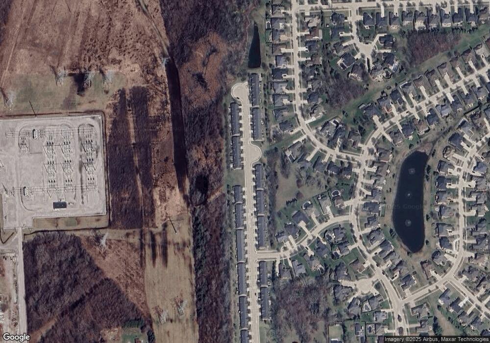
Map
Nearby Homes
- 57563 Stonebriar Dr
- 56764 Jewell Rd
- 13970 Quail View Dr
- 13987 Quail View Dr
- 57116 Veridian Dr
- Abbeyville Plan at The Village at Beacon Pointe
- Bayport Plan at The Village at Beacon Pointe
- 57011 Veridian Blvd
- 56176 Stone Falcon Dr
- 57290 Veridian Blvd
- Cambridge Plan at Veridian - Villas
- Thorington Plan at Veridian - Villas
- Devonshire Plan at Veridian - Villas
- Kirkwood Plan at Veridian - Villas
- The Orchard I Plan at Veridian - The Estates
- The Berkley Plan at Veridian - The Estates
- The Somerset Plan at Veridian - The Estates
- The Kirkway II Plan at Veridian - The Estates
- The Kirkway I Plan at Veridian - The Estates
- The Stratford I Plan at Veridian - The Estates
- 57137 Brookfield Way Unit 4
- 57105 Brookfield Way Unit 3
- 57073 Brookfield Way Unit 31
- 57041 Brookfield Way Unit 1
- 57265 Brookfield Way Unit 8
- 57201 Brookfield Way Unit 6
- 57169 Brookfield Way Unit 5
- 57233 Brookfield Way Unit 7
- 57233 Brookfield Way Unit 765
- 57202 Brookfield Way Unit 54
- 57234 Brookfield Way Unit 53
- 57266 Brookfield Way Unit 52
- 57298 Brookfield Way Unit 51
- 12700 26 Mile Rd
- 12941 26 Mile Rd
- 12971 26 Mile Rd
- 57393 Brookfield Way Unit 12
- 57361 Brookfield Way Unit 11
- 57329 Brookfield Way Unit 10
- 57362 Brookfield Way Unit 765