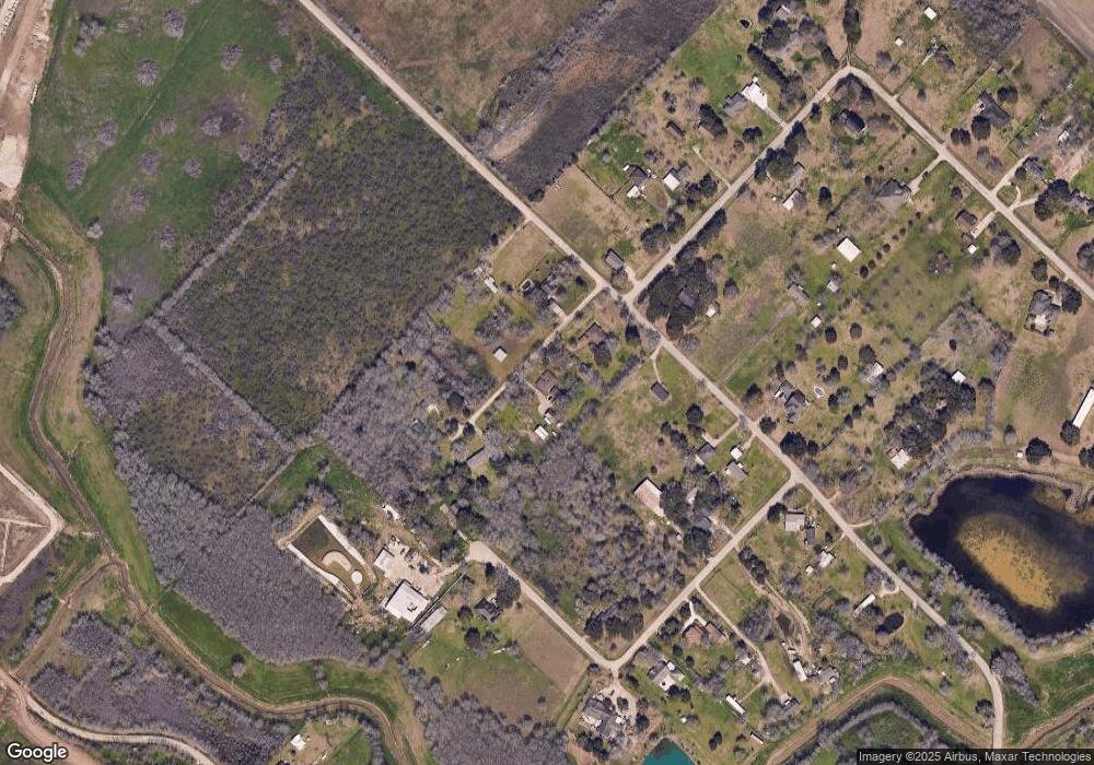
5708 Trinity Dr Richmond, TX 77469
Estimated Value: $388,000 - $424,000
4
Beds
2
Baths
2,010
Sq Ft
$201/Sq Ft
Est. Value
About This Home
This home is located at 5708 Trinity Dr, Richmond, TX 77469 and is currently estimated at $404,569, approximately $201 per square foot. 5708 Trinity Dr is a home located in Fort Bend County.
Ownership History
Date
Name
Owned For
Owner Type
Purchase Details
Closed on
Mar 27, 1998
Sold by
Richter Leroy H and Richter Kathryn A
Bought by
Black Alan L and Black Sandra K
Current Estimated Value
Home Financials for this Owner
Home Financials are based on the most recent Mortgage that was taken out on this home.
Original Mortgage
$108,600
Outstanding Balance
$19,516
Interest Rate
7.17%
Estimated Equity
$385,053
Create a Home Valuation Report for This Property
The Home Valuation Report is an in-depth analysis detailing your home's value as well as a comparison with similar homes in the area
Home Values in the Area
Average Home Value in this Area
Purchase History
| Date | Buyer | Sale Price | Title Company |
|---|---|---|---|
| Black Alan L | -- | American Title Company |
Source: Public Records
Mortgage History
| Date | Status | Borrower | Loan Amount |
|---|---|---|---|
| Open | Black Alan L | $108,600 |
Source: Public Records
Tax History Compared to Growth
Tax History
| Year | Tax Paid | Tax Assessment Tax Assessment Total Assessment is a certain percentage of the fair market value that is determined by local assessors to be the total taxable value of land and additions on the property. | Land | Improvement |
|---|---|---|---|---|
| 2025 | $4,143 | $326,108 | $118,768 | $220,753 |
| 2024 | $4,143 | $296,462 | $32,123 | $264,339 |
| 2023 | $4,143 | $269,511 | $0 | $355,798 |
| 2022 | $3,676 | $245,010 | $0 | $302,460 |
| 2021 | $3,998 | $222,740 | $17,470 | $205,270 |
| 2020 | $3,690 | $202,490 | $17,470 | $185,020 |
| 2019 | $4,338 | $222,010 | $17,470 | $204,540 |
| 2018 | $4,426 | $225,950 | $17,470 | $208,480 |
| 2017 | $4,191 | $213,360 | $17,470 | $195,890 |
| 2016 | $3,809 | $193,960 | $17,470 | $176,490 |
| 2015 | $3,206 | $189,130 | $17,470 | $171,660 |
| 2014 | $2,862 | $171,940 | $17,470 | $154,470 |
Source: Public Records
Map
Nearby Homes
- 6917 Kari Ln
- 4310 Horseshoe Dr
- 7115 Kamas Ln
- 6429 Fm 2218 Rd
- 0 Farm-To-market 2218
- 2927 Canoe Birch Ct
- 4927 Windy Poplar Trail
- 4914 Mountain Maple Trail
- 4910 Mountain Maple Trail
- 4922 Lacebark Pine Trail
- 0 Fm 361 Rd Unit 24089668
- 3010 Coachmaker Trail
- 5410 Sunset Trail
- 3327 Learning Tree Ln
- 3026 Currier Ct
- 2810 Meadowbrook Ln
- 4719 Beechwood Dr
- 5010 Trembling Aspen Ln
- 4821 Walters Rd
- 7403 Fm 361 Rd
