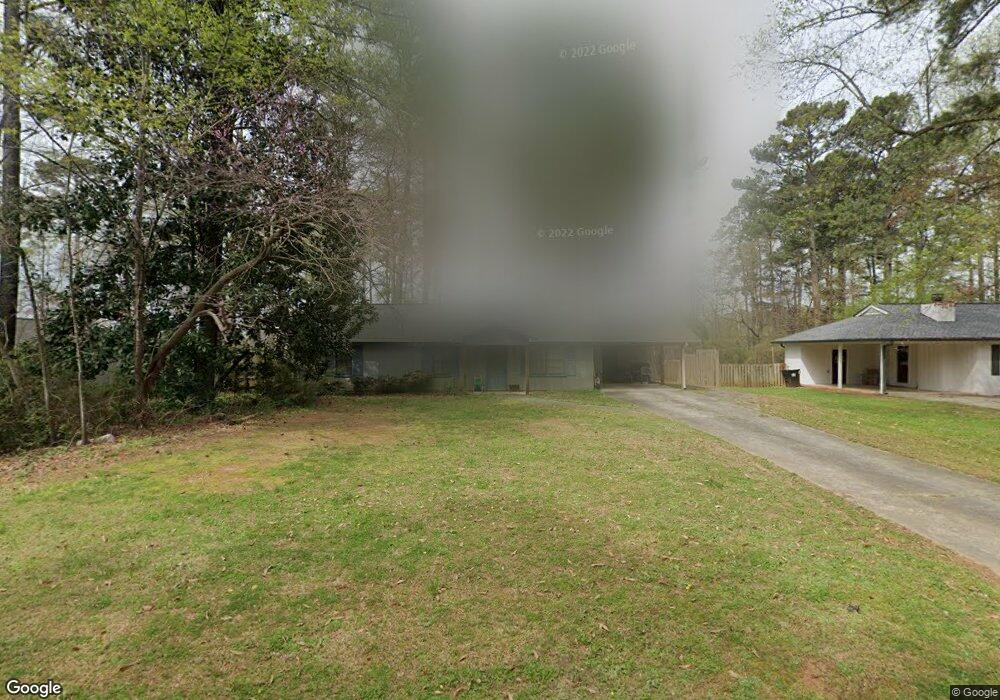
5709 Meadowood Dr Unit 1 Acworth, GA 30102
Oak Grove NeighborhoodEstimated Value: $298,028 - $321,000
3
Beds
2
Baths
1,280
Sq Ft
$242/Sq Ft
Est. Value
About This Home
This home is located at 5709 Meadowood Dr Unit 1, Acworth, GA 30102 and is currently estimated at $309,514, approximately $241 per square foot. 5709 Meadowood Dr Unit 1 is a home located in Cherokee County with nearby schools including Clark Creek Elementary School, E. T. Booth Middle School, and Etowah High School.
Ownership History
Date
Name
Owned For
Owner Type
Purchase Details
Closed on
Apr 4, 2017
Sold by
Martin Willie Nora
Bought by
Martin Willie Nora and Martin Aaron
Current Estimated Value
Purchase Details
Closed on
Nov 17, 2000
Sold by
Kick Charles G and Kick April D
Bought by
Martin Willie N
Home Financials for this Owner
Home Financials are based on the most recent Mortgage that was taken out on this home.
Original Mortgage
$100,900
Interest Rate
7.87%
Create a Home Valuation Report for This Property
The Home Valuation Report is an in-depth analysis detailing your home's value as well as a comparison with similar homes in the area
Home Values in the Area
Average Home Value in this Area
Purchase History
| Date | Buyer | Sale Price | Title Company |
|---|---|---|---|
| Martin Willie Nora | -- | -- | |
| Martin Willie N | $103,900 | -- |
Source: Public Records
Mortgage History
| Date | Status | Borrower | Loan Amount |
|---|---|---|---|
| Previous Owner | Martin Willie N | $100,900 |
Source: Public Records
Tax History Compared to Growth
Tax History
| Year | Tax Paid | Tax Assessment Tax Assessment Total Assessment is a certain percentage of the fair market value that is determined by local assessors to be the total taxable value of land and additions on the property. | Land | Improvement |
|---|---|---|---|---|
| 2024 | $515 | $104,724 | $24,000 | $80,724 |
| 2023 | $380 | $106,044 | $24,000 | $82,044 |
| 2022 | $456 | $78,684 | $18,000 | $60,684 |
| 2021 | $443 | $64,484 | $14,000 | $50,484 |
| 2020 | $433 | $61,604 | $14,000 | $47,604 |
| 2019 | $399 | $52,520 | $12,000 | $40,520 |
| 2018 | $389 | $47,880 | $12,000 | $35,880 |
| 2017 | $392 | $115,800 | $12,000 | $34,320 |
| 2016 | $1,070 | $97,700 | $10,160 | $28,920 |
| 2015 | $1,000 | $90,800 | $10,160 | $26,160 |
| 2014 | $915 | $83,400 | $10,160 | $23,200 |
Source: Public Records
Map
Nearby Homes
- 5706 Forest Place
- 427 Colsen Dr
- 432 Carrera Ln
- 436 Carrera Ln
- 440 Carrera Ln
- 431 Carrera Ln
- 435 Carrera Ln
- 340 Colsen Dr
- 336 Colsen Dr
- 332 Colsen Dr
- 328 Colsen Dr
- 808 Harrison Dr
- 124 Freedom Dr
- 105 Priestwood Ln
- 337 Liberty Dr
- Bolton Plan at Cherokee Township
- Brooks Plan at Cherokee Township
- Bryson Plan at Cherokee Township
- 302 Oak Leaf Place
- 334 Liberty Dr
- 5721 Meadowood Dr
- 910 Silver Lake Dr
- 251 Gallan Fox Way
- 5733 Meadowood Dr
- 5685 Meadowood Dr
- 914 Silver Lake Dr
- 912 Silver Lake Dr
- 916 Silver Lake Dr
- 908 Silver Lake Dr
- 5673 Meadowood Dr
- 920 Silver Lake Dr
- 0 Meadowood Dr Unit 7242147
- 0 Meadowood Dr Unit 7259407
- 0 Meadowood Dr Unit 7258237
- 0 Meadowood Dr Unit 3249874
- 0 Meadowood Dr Unit 8625347
- 0 Meadowood Dr Unit 7578856
- 0 Meadowood Dr Unit 3220323
- 0 Meadowood Dr Unit 3136424
- 0 Meadowood Dr