571 Center Rd Block Island, RI 02807
Estimated Value: $1,822,000 - $2,944,000
4
Beds
3
Baths
2,610
Sq Ft
$861/Sq Ft
Est. Value
About This Home
This home is located at 571 Center Rd, Block Island, RI 02807 and is currently estimated at $2,248,284, approximately $861 per square foot. 571 Center Rd is a home with nearby schools including Block Island School.
Ownership History
Date
Name
Owned For
Owner Type
Purchase Details
Closed on
Dec 27, 2007
Sold by
Holdfast Raj
Bought by
Grohsgal Eric A
Current Estimated Value
Purchase Details
Closed on
Aug 23, 2004
Sold by
Raj Holdfast Llc
Bought by
Grohsgal Eric
Home Financials for this Owner
Home Financials are based on the most recent Mortgage that was taken out on this home.
Original Mortgage
$157,103
Interest Rate
6.03%
Mortgage Type
Purchase Money Mortgage
Create a Home Valuation Report for This Property
The Home Valuation Report is an in-depth analysis detailing your home's value as well as a comparison with similar homes in the area
Home Values in the Area
Average Home Value in this Area
Purchase History
| Date | Buyer | Sale Price | Title Company |
|---|---|---|---|
| Grohsgal Eric A | $275,000 | -- | |
| Grohsgal Eric | $275,000 | -- |
Source: Public Records
Mortgage History
| Date | Status | Borrower | Loan Amount |
|---|---|---|---|
| Previous Owner | Grohsgal Eric | $157,103 |
Source: Public Records
Tax History Compared to Growth
Tax History
| Year | Tax Paid | Tax Assessment Tax Assessment Total Assessment is a certain percentage of the fair market value that is determined by local assessors to be the total taxable value of land and additions on the property. | Land | Improvement |
|---|---|---|---|---|
| 2024 | $9,018 | $1,633,700 | $907,500 | $726,200 |
| 2023 | $9,835 | $1,633,700 | $907,500 | $726,200 |
| 2022 | $8,009 | $1,131,200 | $805,200 | $326,000 |
| 2021 | $7,579 | $1,131,200 | $805,200 | $326,000 |
| 2020 | $7,194 | $1,131,200 | $805,200 | $326,000 |
| 2019 | $6,967 | $1,131,040 | $805,200 | $325,840 |
| 2018 | $6,884 | $1,156,960 | $805,200 | $351,760 |
| 2017 | $6,780 | $1,156,960 | $805,200 | $351,760 |
| 2016 | $6,618 | $1,156,960 | $805,200 | $351,760 |
| 2015 | $8,068 | $1,464,300 | $1,006,500 | $457,800 |
| 2014 | $7,819 | $1,464,300 | $1,006,500 | $457,800 |
| 2013 | $7,629 | $1,464,300 | $1,006,500 | $457,800 |
Source: Public Records
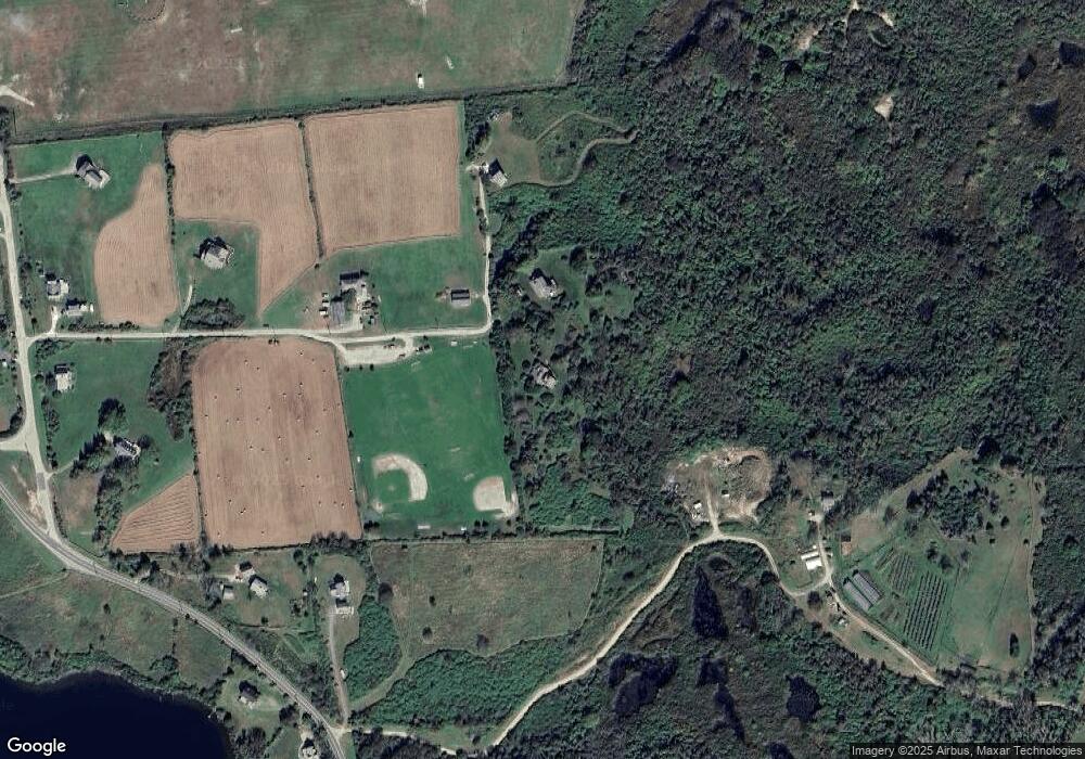
Map
Nearby Homes
- 1087 Lakeside Dr
- 1661 Sand Pond Rd
- 1501 Beacon Hill Rd
- 481 Old Town Rd
- 194 Pilot Hill Rd
- 1289 High St
- 1448 Mohegan Trail
- 256 High St
- 804 Mohegan Trail
- 0 Snake Hole Rd
- 1035 Mohegan Trail
- 0 Mohegan Trail
- 0 Pilot Hill Rd
- 0 Spring St
- 1328 Cooneymus Rd
- 0 Southeast Rd Unit 1381406
- 1557 W Side Rd
- 0 Coast Guard Rd
- 1596 W Side Rd
- 1210 Graces Cove Rd
- 1598 Center Rd
- 1438 Old Center Rd
- 1088 Old Center Rd
- 1195 Center Rd
- 1440 Old Center Rd
- 759 Lakeside Dr
- 774 Lakeside Dr
- 773 Lakeside Dr
- 569 Isaac Corner Rd
- 570 Old Center Rd
- 569 Old Center Rd
- 760 Lakeside Dr
- 761 Lakeside Dr
- 1649 Lakeside Dr
- 1087 1087 Lakeside Dr
- 1424 Old Center Rd
- 1352 Lakeside Dr
- 1946 Off Center Rd
- 574 Center Rd
- 885 Cooneymus Rd