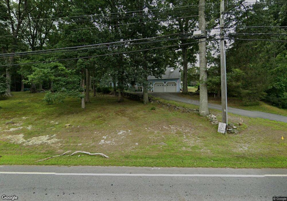
571 Concord Rd Marlborough, MA 01752
Estimated Value: $819,777 - $887,000
4
Beds
4
Baths
2,550
Sq Ft
$333/Sq Ft
Est. Value
About This Home
This home is located at 571 Concord Rd, Marlborough, MA 01752 and is currently estimated at $849,944, approximately $333 per square foot. 571 Concord Rd is a home located in Middlesex County with nearby schools including Marlborough High School, New Covenant Christian School, and Glenhaven Academy - JRI School.
Ownership History
Date
Name
Owned For
Owner Type
Purchase Details
Closed on
Jun 29, 2020
Sold by
Kurbs Karl H and Kurbs Patricia A
Bought by
Mulvey Kurbs Ret
Current Estimated Value
Purchase Details
Closed on
Jan 3, 2007
Sold by
Kurbs Karl H and Kurbs Patricia A
Bought by
Everett Gary C and Everett Heather G
Home Financials for this Owner
Home Financials are based on the most recent Mortgage that was taken out on this home.
Original Mortgage
$508,250
Interest Rate
6.24%
Mortgage Type
Purchase Money Mortgage
Create a Home Valuation Report for This Property
The Home Valuation Report is an in-depth analysis detailing your home's value as well as a comparison with similar homes in the area
Home Values in the Area
Average Home Value in this Area
Purchase History
| Date | Buyer | Sale Price | Title Company |
|---|---|---|---|
| Mulvey Kurbs Ret | -- | None Available | |
| Everett Gary C | $165,000 | -- |
Source: Public Records
Mortgage History
| Date | Status | Borrower | Loan Amount |
|---|---|---|---|
| Previous Owner | Everett Gary C | $508,250 |
Source: Public Records
Tax History Compared to Growth
Tax History
| Year | Tax Paid | Tax Assessment Tax Assessment Total Assessment is a certain percentage of the fair market value that is determined by local assessors to be the total taxable value of land and additions on the property. | Land | Improvement |
|---|---|---|---|---|
| 2025 | $7,148 | $724,900 | $233,500 | $491,400 |
| 2024 | $7,004 | $684,000 | $212,300 | $471,700 |
| 2023 | $6,886 | $596,700 | $183,700 | $413,000 |
| 2022 | $6,494 | $495,000 | $175,000 | $320,000 |
| 2021 | $6,447 | $467,200 | $145,800 | $321,400 |
| 2020 | $6,201 | $437,300 | $130,200 | $307,100 |
| 2019 | $6,165 | $438,200 | $135,900 | $302,300 |
| 2018 | $6,098 | $416,800 | $120,500 | $296,300 |
| 2017 | $6,257 | $408,400 | $121,900 | $286,500 |
| 2016 | $6,309 | $411,300 | $121,900 | $289,400 |
| 2015 | $6,063 | $384,700 | $126,600 | $258,100 |
Source: Public Records
Map
Nearby Homes
- 38 Collins Dr
- 17 Mcneil Cir
- 492 Stow Rd
- 274 Naugler Ave
- 256 Robert Rd
- 114 Linda Cir
- 323 Robert Rd
- 137 Naugler Ave
- 168 Blanchette Dr
- 33A Russo Dr
- 75 Kings View Rd
- 618 Sudbury St
- 34 Muir Way
- 551 Sudbury St
- 109 Westminster Dr Unit 109
- 38 Airport Blvd
- 688 Boston Post Rd E Unit 202
- 688 Boston Post Rd E Unit 304
- 688 Boston Post Rd E Unit 100
- 688 Boston Post Rd E Unit 324