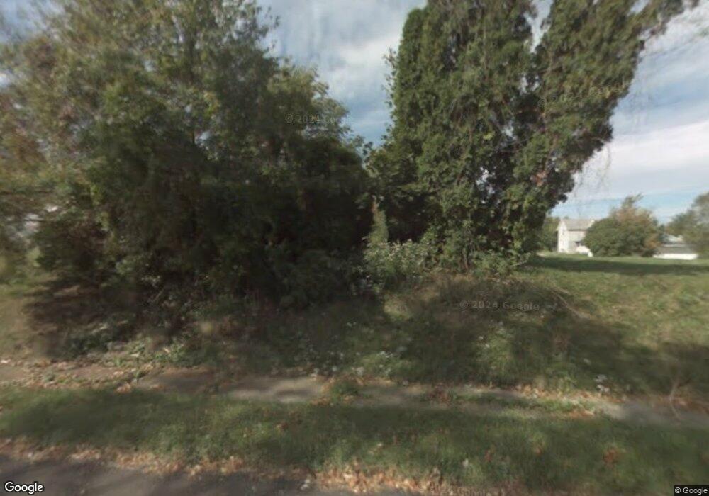
571 Daisy St Mansfield, OH 44903
Estimated Value: $81,000 - $153,000
--
Bed
--
Bath
--
Sq Ft
8,015
Sq Ft Lot
About This Home
This home is located at 571 Daisy St, Mansfield, OH 44903 and is currently estimated at $119,333. 571 Daisy St is a home located in Richland County with nearby schools including Goal Digital Academy, St. Peter's Elementary/Montessori School, and St. Peter's High School/Junior High.
Ownership History
Date
Name
Owned For
Owner Type
Purchase Details
Closed on
Dec 9, 2005
Sold by
Wilson Sharon Da and Daniels Braxton C
Bought by
Central City Economic Development Counci
Current Estimated Value
Purchase Details
Closed on
Aug 7, 2000
Sold by
Walker Joyce M
Bought by
Wilson Sharon D and Daniels Braxton C
Home Financials for this Owner
Home Financials are based on the most recent Mortgage that was taken out on this home.
Original Mortgage
$14,250
Interest Rate
11.88%
Mortgage Type
New Conventional
Purchase Details
Closed on
Oct 29, 1993
Sold by
Caston Caroline B
Bought by
Walker Joyce M
Create a Home Valuation Report for This Property
The Home Valuation Report is an in-depth analysis detailing your home's value as well as a comparison with similar homes in the area
Home Values in the Area
Average Home Value in this Area
Purchase History
| Date | Buyer | Sale Price | Title Company |
|---|---|---|---|
| Central City Economic Development Counci | $33,600 | Chicago Title | |
| Wilson Sharon D | $15,000 | -- | |
| Walker Joyce M | $200 | -- |
Source: Public Records
Mortgage History
| Date | Status | Borrower | Loan Amount |
|---|---|---|---|
| Previous Owner | Wilson Sharon D | $14,250 |
Source: Public Records
Tax History Compared to Growth
Tax History
| Year | Tax Paid | Tax Assessment Tax Assessment Total Assessment is a certain percentage of the fair market value that is determined by local assessors to be the total taxable value of land and additions on the property. | Land | Improvement |
|---|---|---|---|---|
| 2024 | $27 | $540 | $540 | $0 |
| 2023 | $26 | $540 | $540 | $0 |
| 2022 | $28 | $490 | $490 | $0 |
| 2021 | $28 | $490 | $490 | $0 |
| 2020 | $29 | $490 | $490 | $0 |
| 2019 | $32 | $490 | $490 | $0 |
| 2018 | $32 | $490 | $490 | $0 |
| 2017 | $31 | $490 | $490 | $0 |
| 2016 | $23 | $350 | $350 | $0 |
| 2015 | $22 | $350 | $350 | $0 |
| 2014 | $21 | $350 | $350 | $0 |
| 2012 | $16 | $350 | $350 | $0 |
Source: Public Records
Map
Nearby Homes
- 452 Daisy St
- 526 Bowman St
- 156 Buckingham Ave Unit 158
- 283 Bulkley Ave
- 743 Bowman St
- 371 Bell St
- 0 Voegele Ave Unit Lot 6048, 6049, 6
- 426 Mcpherson St
- 458 Wayne St
- 346 Newman St
- 0 Highway 30
- 512 Burns St
- 169 W 5th St
- 362-364 W 6th St
- 219 W 5th St
- 311 Auburn St
- 282 W 5th St
- 411 Grace St
- 395 Auburn St