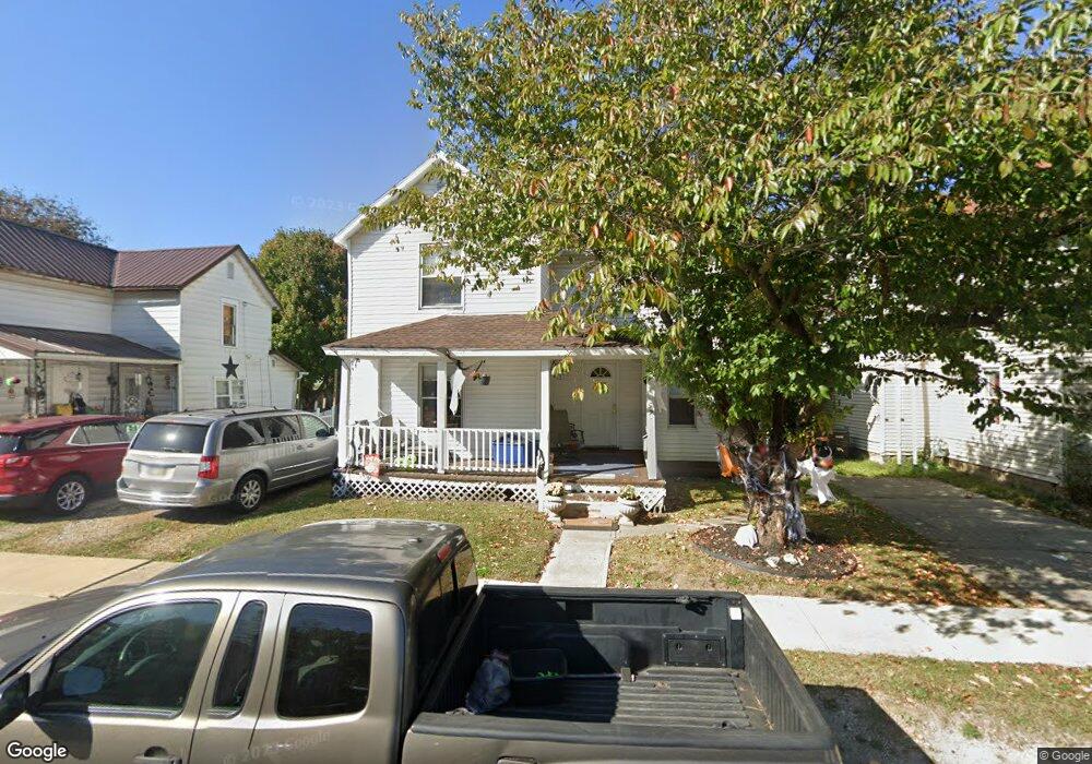
571 Davids St Marion, OH 43302
Estimated Value: $99,000 - $147,000
3
Beds
2
Baths
1,400
Sq Ft
$86/Sq Ft
Est. Value
About This Home
This home is located at 571 Davids St, Marion, OH 43302 and is currently estimated at $120,333, approximately $85 per square foot. 571 Davids St is a home located in Marion County with nearby schools including William McKinley Elementary School, Ulysses S. Grant Middle School, and Harding High School.
Ownership History
Date
Name
Owned For
Owner Type
Purchase Details
Closed on
Apr 5, 2019
Sold by
Lomax Sharon
Bought by
T C Ohio Properties Llc
Current Estimated Value
Purchase Details
Closed on
Jun 20, 2017
Sold by
Hogan Christopher and Hogan Theresa
Bought by
Lomax Sharon M
Purchase Details
Closed on
Feb 29, 2000
Bought by
Hogan Christopher and Theresa Sur
Purchase Details
Closed on
Dec 2, 1998
Bought by
Hogan Christopher and Theresa Sur
Purchase Details
Closed on
Jun 23, 1997
Bought by
Hogan Christopher and Theresa Sur
Purchase Details
Closed on
Aug 17, 1995
Bought by
Hogan Christopher and Theresa Sur
Create a Home Valuation Report for This Property
The Home Valuation Report is an in-depth analysis detailing your home's value as well as a comparison with similar homes in the area
Home Values in the Area
Average Home Value in this Area
Purchase History
| Date | Buyer | Sale Price | Title Company |
|---|---|---|---|
| T C Ohio Properties Llc | $10,000 | None Available | |
| Lomax Sharon M | $4,000 | Attorney | |
| Hogan Christopher | $50,000 | -- | |
| Hogan Christopher | $35,300 | -- | |
| Hogan Christopher | $52,300 | -- | |
| Hogan Christopher | $15,000 | -- |
Source: Public Records
Tax History
| Year | Tax Paid | Tax Assessment Tax Assessment Total Assessment is a certain percentage of the fair market value that is determined by local assessors to be the total taxable value of land and additions on the property. | Land | Improvement |
|---|---|---|---|---|
| 2025 | $1,274 | $24,090 | $3,150 | $20,940 |
| 2024 | $1,274 | $22,220 | $3,080 | $19,140 |
| 2023 | $1,274 | $22,220 | $3,080 | $19,140 |
| 2022 | $1,120 | $22,220 | $3,080 | $19,140 |
| 2021 | $1,079 | $17,400 | $2,680 | $14,720 |
| 2020 | $697 | $17,400 | $2,680 | $14,720 |
| 2019 | $690 | $17,400 | $2,680 | $14,720 |
| 2018 | $668 | $16,830 | $2,650 | $14,180 |
| 2017 | $658 | $16,830 | $2,650 | $14,180 |
| 2016 | $653 | $16,830 | $2,650 | $14,180 |
| 2015 | $652 | $16,420 | $2,520 | $13,900 |
| 2014 | $653 | $16,420 | $2,520 | $13,900 |
| 2012 | $712 | $17,810 | $1,880 | $15,930 |
Source: Public Records
Map
Nearby Homes
- 579 Henry St
- 602 Uncapher Ave
- 645 Henry St
- 681 Davids St
- 638 Miami St
- 491 Olney Ave
- 793 Congress St
- 447 Olney Ave
- 329 Mound St
- 545 Blaine Ave
- 376 Park Blvd
- 889 Oak Grove Ave
- 863 Congress St
- 426 Bellefontaine Ave
- 950 Oak Grove Ave
- 780 Sheridan Rd
- 447 Windsor St
- 347 Blaine Ave
- 982 Oak Grove Ave
- 245 Park Blvd
Your Personal Tour Guide
Ask me questions while you tour the home.