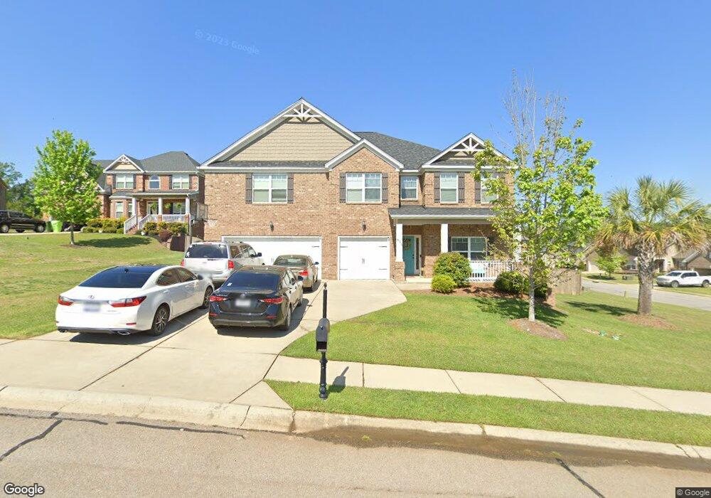
571 Everton Dr Chapin, SC 29036
Estimated Value: $483,000 - $517,000
5
Beds
4
Baths
3,610
Sq Ft
$139/Sq Ft
Est. Value
About This Home
This home is located at 571 Everton Dr, Chapin, SC 29036 and is currently estimated at $501,932, approximately $139 per square foot. 571 Everton Dr is a home located in Richland County with nearby schools including Ballentine Elementary School, Chapin Intermediate, and Chapin High School.
Ownership History
Date
Name
Owned For
Owner Type
Purchase Details
Closed on
Oct 2, 2023
Sold by
Parker Monty L and Parker Dolores
Bought by
Finney Christopher J and Finney Jessica L
Current Estimated Value
Home Financials for this Owner
Home Financials are based on the most recent Mortgage that was taken out on this home.
Original Mortgage
$380,000
Outstanding Balance
$372,267
Interest Rate
7.18%
Mortgage Type
New Conventional
Estimated Equity
$129,665
Purchase Details
Closed on
May 6, 2016
Sold by
D R Horton Crown Llc
Bought by
Parker Monty L and Parker Dolres
Home Financials for this Owner
Home Financials are based on the most recent Mortgage that was taken out on this home.
Original Mortgage
$275,793
Interest Rate
3.25%
Mortgage Type
FHA
Purchase Details
Closed on
Dec 14, 2015
Sold by
Broad River Developers Llc
Bought by
Dr Horton - Crown Llc
Create a Home Valuation Report for This Property
The Home Valuation Report is an in-depth analysis detailing your home's value as well as a comparison with similar homes in the area
Home Values in the Area
Average Home Value in this Area
Purchase History
| Date | Buyer | Sale Price | Title Company |
|---|---|---|---|
| Finney Christopher J | $475,000 | None Listed On Document | |
| Parker Monty L | $283,785 | None Available | |
| Dr Horton - Crown Llc | $41,884 | -- |
Source: Public Records
Mortgage History
| Date | Status | Borrower | Loan Amount |
|---|---|---|---|
| Open | Finney Christopher J | $380,000 | |
| Previous Owner | Parker Monty L | $275,793 |
Source: Public Records
Tax History
| Year | Tax Paid | Tax Assessment Tax Assessment Total Assessment is a certain percentage of the fair market value that is determined by local assessors to be the total taxable value of land and additions on the property. | Land | Improvement |
|---|---|---|---|---|
| 2024 | $3,804 | $475,000 | $50,000 | $425,000 |
| 2023 | $3,655 | $12,304 | $0 | $0 |
| 2022 | $2,440 | $307,600 | $48,000 | $259,600 |
| 2021 | $2,474 | $12,300 | $0 | $0 |
| 2020 | $2,593 | $12,300 | $0 | $0 |
| 2019 | $2,525 | $11,980 | $0 | $0 |
| 2018 | $2,137 | $11,350 | $0 | $0 |
| 2017 | $2,079 | $11,350 | $0 | $0 |
| 2016 | $566 | $1,980 | $0 | $0 |
Source: Public Records
Map
Nearby Homes
- 297 Massey Cir
- 301 Massey Cir
- 549 Everton Dr
- 320 Hollow Cove Rd
- 445 Crawley Ln
- 761 Kimsey Dr
- 426 Crawley Ln
- 804 Burnview Ln
- 1160 Bookie Richardson Rd
- 11437 Broad River
- 342 Meadow Ridge Rd
- 101 Summer Branch Ln
- 50 Steve Free Rd
- 145 Monroe Preserve Ln
- 105 Monroe Preserve Ln
- 117 Monroe Preserve Ln
- 110 Monroe Preserve Ln
- 118 Monroe Preserve Ln
- 6 Borland Ct
- 180 Monroe Preserve Ln
Your Personal Tour Guide
Ask me questions while you tour the home.