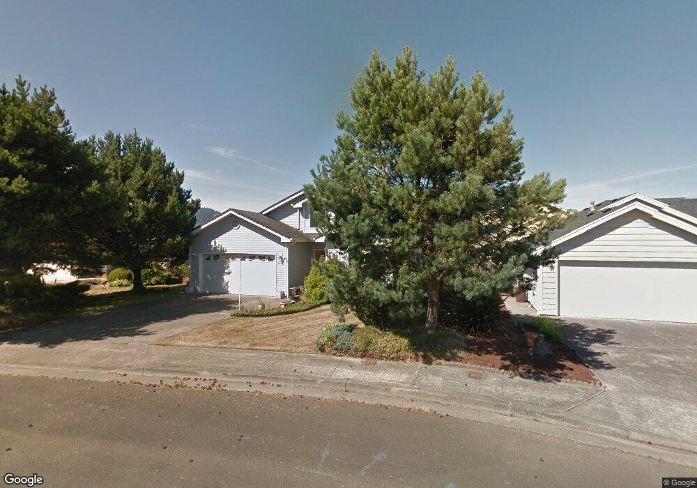
571 Farrell Ct Seaside, OR 97138
Estimated Value: $637,645 - $691,000
2
Beds
2
Baths
1,612
Sq Ft
$414/Sq Ft
Est. Value
About This Home
This home is located at 571 Farrell Ct, Seaside, OR 97138 and is currently estimated at $667,411, approximately $414 per square foot. 571 Farrell Ct is a home located in Clatsop County with nearby schools including Seaside High School.
Ownership History
Date
Name
Owned For
Owner Type
Purchase Details
Closed on
Aug 22, 2014
Sold by
Nicandri David Lawrence and Nicandri Christy Josephine
Bought by
Hartin John R and Hartin Ina Marie
Current Estimated Value
Home Financials for this Owner
Home Financials are based on the most recent Mortgage that was taken out on this home.
Original Mortgage
$172,500
Outstanding Balance
$131,531
Interest Rate
4.11%
Mortgage Type
New Conventional
Estimated Equity
$535,880
Purchase Details
Closed on
Sep 9, 2011
Sold by
Nicandri Christy Josephine
Bought by
Nicandri David Lawrence and Nicandri Christy Josephine
Create a Home Valuation Report for This Property
The Home Valuation Report is an in-depth analysis detailing your home's value as well as a comparison with similar homes in the area
Home Values in the Area
Average Home Value in this Area
Purchase History
| Date | Buyer | Sale Price | Title Company |
|---|---|---|---|
| Hartin John R | $276,000 | Ticor Title Ins Co | |
| Nicandri David Lawrence | -- | None Available | |
| Nicandri Christy Josephine | -- | None Available |
Source: Public Records
Mortgage History
| Date | Status | Borrower | Loan Amount |
|---|---|---|---|
| Open | Hartin John R | $172,500 |
Source: Public Records
Tax History Compared to Growth
Tax History
| Year | Tax Paid | Tax Assessment Tax Assessment Total Assessment is a certain percentage of the fair market value that is determined by local assessors to be the total taxable value of land and additions on the property. | Land | Improvement |
|---|---|---|---|---|
| 2024 | $4,274 | $297,502 | -- | -- |
| 2023 | $4,148 | $288,838 | $0 | $0 |
| 2022 | $4,034 | $280,426 | $0 | $0 |
| 2021 | $3,949 | $272,259 | $0 | $0 |
| 2020 | $3,857 | $264,330 | $0 | $0 |
| 2019 | $3,751 | $256,632 | $0 | $0 |
| 2018 | $3,602 | $249,159 | $0 | $0 |
| 2017 | $3,438 | $241,903 | $0 | $0 |
| 2016 | $3,024 | $234,859 | $83,231 | $151,628 |
| 2015 | $2,945 | $228,019 | $80,807 | $147,212 |
| 2014 | $2,936 | $221,379 | $0 | $0 |
| 2013 | -- | $214,932 | $0 | $0 |
Source: Public Records
Map
Nearby Homes
- 1281 S Downing St
- 500 Farrell Ct
- 335 Avenue K
- 1210 S Downing St
- 0 Vacant Lot Avenue L
- 0
- 425 Avenue P
- 310 Avenue K
- 1560 S Edgewood St
- 425 P Ave
- 1616 S Edgewood St
- 1577 S Franklin St
- 1061 S Columbia St
- 1560 S Downing St
- 1108 S Holladay Dr Unit 24
- 981 S Columbia St
- 1265 Beach Dr
- 84800 U S 101
- 1041 Beach Dr
- 1041 S Beach Dr SW
- 581 Farrell Ct
- 551 Farrell Ct
- 421 Farrell Ct
- 591 Farrell Ct
- 560 Farrell Ct
- 580 Farrell Ct
- 540 Farrell Ct
- 420 Farrell Ct
- 440 Farrell Ct
- 600 Farrell Ct
- 460 Farrell Ct
- 1230 S Edgewood St
- 1260 S Edgewood St
- 480 Farrell Ct
- 520 Farrell Ct
- 1160 S Edgewood St
- 1420 S Franklin St
- 445 Ave K
- 1121 S Edgewood St
- 445 Avenue K