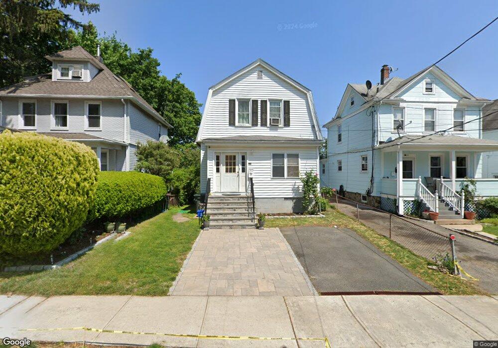
571 Locust Ave Port Chester, NY 10573
Estimated Value: $660,000 - $784,000
4
Beds
2
Baths
1,564
Sq Ft
$454/Sq Ft
Est. Value
About This Home
This home is located at 571 Locust Ave, Port Chester, NY 10573 and is currently estimated at $709,692, approximately $453 per square foot. 571 Locust Ave is a home located in Westchester County with nearby schools including Port Chester Middle School, Port Chester Senior High School, and Westchester Fairfield Hebrew A.
Ownership History
Date
Name
Owned For
Owner Type
Purchase Details
Closed on
Jul 15, 2005
Sold by
Bellhouse Michael and Bellhouse Joanna
Bought by
Rivera Nereyna and Rivera Otilio
Current Estimated Value
Purchase Details
Closed on
Apr 18, 2002
Sold by
Mogrovejo Liz A and Cruz Isabel L
Bought by
Bellhouse Michael and Levine Joanna
Purchase Details
Closed on
Aug 6, 1998
Sold by
Rizzetta Richard A and Rizzetta Laurel B
Bought by
Mogrovejo Liz A and Cruz Isabel
Create a Home Valuation Report for This Property
The Home Valuation Report is an in-depth analysis detailing your home's value as well as a comparison with similar homes in the area
Home Values in the Area
Average Home Value in this Area
Purchase History
| Date | Buyer | Sale Price | Title Company |
|---|---|---|---|
| Rivera Nereyna | $480,000 | Stewart Title Insurance Co | |
| Bellhouse Michael | $322,500 | The Judicial Title Ins Agenc | |
| Mogrovejo Liz A | $150,000 | First American Title Ins Co |
Source: Public Records
Tax History Compared to Growth
Tax History
| Year | Tax Paid | Tax Assessment Tax Assessment Total Assessment is a certain percentage of the fair market value that is determined by local assessors to be the total taxable value of land and additions on the property. | Land | Improvement |
|---|---|---|---|---|
| 2024 | $9,739 | $478,500 | $111,600 | $366,900 |
| 2023 | $9,147 | $447,200 | $106,300 | $340,900 |
| 2022 | $8,173 | $421,900 | $106,300 | $315,600 |
| 2021 | $8,514 | $376,700 | $106,300 | $270,400 |
| 2020 | $9,335 | $369,300 | $106,300 | $263,000 |
| 2019 | $10,839 | $365,200 | $136,300 | $228,900 |
| 2018 | $6,756 | $357,200 | $133,800 | $223,400 |
| 2017 | $1,281 | $354,000 | $132,400 | $221,600 |
| 2016 | $6,815 | $290,900 | $96,000 | $194,900 |
| 2015 | -- | $302,100 | $105,600 | $196,500 |
| 2014 | -- | $245,500 | $80,800 | $164,700 |
| 2013 | -- | $245,500 | $80,800 | $164,700 |
Source: Public Records
Map
Nearby Homes
- 558 Locust Ave
- 238 Madison Ave
- 38 Riverdale Ave
- 531 1/2 Willett Ave
- 180 Madison Ave
- 518 Locust Ave
- 53 Linden St
- 26 Homestead Ln Unit A
- 340 Locust Ave
- 23 Pemberwick Rd
- 412 Orchard St
- 17 Austin Place
- 14 Sherman Ave
- 95 Byram Rd
- 18 Sherman Ave
- 28 1/2 Pilgrim Dr
- 484 King St
- 220 Chestnut St Unit 2K
- 70 Byram Terrace Dr
- 16 Rollhaus Place
- 569 Locust Ave
- 573 Locust Ave
- 565 Locust Ave
- 563 Locust Ave
- 254 Madison Ave Unit 2
- 254 Madison Ave
- 579 Locust Ave
- 252 Madison Ave
- 561 Locust Ave
- 242 Madison Ave
- 240 Madison Ave
- 258 Madison Ave
- 570 Locust Ave
- 572 Locust Ave
- 568 Locust Ave
- 559 Locust Ave
- 574 Locust Ave
- 566 Locust Ave
- 260 Madison Ave
- 576 Locust Ave