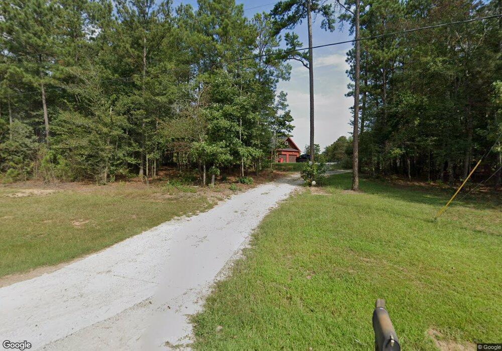
571 Mulberry Rd Winder, GA 30680
Estimated Value: $498,000 - $706,997
--
Bed
1
Bath
2,849
Sq Ft
$199/Sq Ft
Est. Value
About This Home
This home is located at 571 Mulberry Rd, Winder, GA 30680 and is currently estimated at $566,249, approximately $198 per square foot. 571 Mulberry Rd is a home with nearby schools including Bramlett Elementary School, Russell Middle School, and Winder-Barrow High School.
Ownership History
Date
Name
Owned For
Owner Type
Purchase Details
Closed on
Jun 14, 2013
Sold by
Embassy Development Llc
Bought by
Jarrard Jeffrey J and Jarrard Monica L
Current Estimated Value
Home Financials for this Owner
Home Financials are based on the most recent Mortgage that was taken out on this home.
Original Mortgage
$231,781
Outstanding Balance
$165,169
Interest Rate
3.53%
Mortgage Type
New Conventional
Estimated Equity
$401,080
Purchase Details
Closed on
Dec 23, 2011
Sold by
Community & Southern Bank
Bought by
Embassy Development Llc
Purchase Details
Closed on
Sep 17, 2010
Sold by
The Peoples Bank
Bought by
Community & Southern Bank
Purchase Details
Closed on
Jan 28, 2010
Sold by
Mcibo Properties Llc
Bought by
The Peoples Bank
Purchase Details
Closed on
Nov 29, 2005
Sold by
Timerlake Jean Pentecost
Bought by
County Line Partners Llc
Purchase Details
Closed on
Jul 31, 2002
Sold by
Timerlake Jean Pentecost
Bought by
Maynard Bartlett & Butler Realty Group
Create a Home Valuation Report for This Property
The Home Valuation Report is an in-depth analysis detailing your home's value as well as a comparison with similar homes in the area
Home Values in the Area
Average Home Value in this Area
Purchase History
| Date | Buyer | Sale Price | Title Company |
|---|---|---|---|
| Jarrard Jeffrey J | $50,670 | -- | |
| Embassy Development Llc | $78,900 | -- | |
| Community & Southern Bank | -- | -- | |
| The Peoples Bank | -- | -- | |
| County Line Partners Llc | -- | -- | |
| Maynard Bartlett & Butler Realty Group | $883,900 | -- |
Source: Public Records
Mortgage History
| Date | Status | Borrower | Loan Amount |
|---|---|---|---|
| Open | Jarrard Jeffrey J | $231,781 |
Source: Public Records
Tax History Compared to Growth
Tax History
| Year | Tax Paid | Tax Assessment Tax Assessment Total Assessment is a certain percentage of the fair market value that is determined by local assessors to be the total taxable value of land and additions on the property. | Land | Improvement |
|---|---|---|---|---|
| 2024 | $5,558 | $227,699 | $45,400 | $182,299 |
| 2023 | $5,527 | $227,699 | $45,400 | $182,299 |
| 2022 | $4,726 | $167,176 | $45,400 | $121,776 |
| 2021 | $4,449 | $148,210 | $36,320 | $111,890 |
| 2020 | $3,839 | $127,354 | $25,350 | $102,004 |
| 2019 | $3,909 | $127,354 | $25,350 | $102,004 |
| 2018 | $3,880 | $127,468 | $25,350 | $102,118 |
| 2017 | $3,388 | $116,366 | $25,350 | $91,016 |
| 2016 | $3,556 | $117,330 | $25,350 | $91,980 |
| 2015 | $3,568 | $117,170 | $25,350 | $91,820 |
| 2014 | $2,235 | $70,707 | $12,422 | $58,285 |
| 2013 | -- | $11,534 | $11,534 | $0 |
Source: Public Records
Map
Nearby Homes
- 1303 Windstone Ct
- 1000 Jim Johnson Rd
- 2858 Shadowstone Way
- 2839 Shadowstone Way
- 1557 Shadowstone Cir
- 1686 Shadowstone Ct
- 432 Mulberry Rd
- 227 Loon Lake Way
- 133 Loon Lake Way
- 244 Loon Lake Way
- 216 Warrior Ct
- 225 Coffee Ln
- 1929 Windstone Place
- 1931 Windstone Place
- 203 Coffee Ln
- 1072 Jim Johnson Rd
- 41 Loon Lake Way
- 120 Warrior Ct
- 130 Coffee Ln
- 311 Platte Dr
- 559 Mulberry Rd
- 525 Mulberry Rd
- 529 Mulberry Rd
- 551 Mulberry Rd
- 579 Mulberry Rd
- 523 Mulberry Rd
- 553 Mulberry Rd
- 589 Mulberry Rd
- 967 Jim Johnson Rd
- 481 Mulberry Rd
- 547 Mulberry Rd
- 547 Mulberry Rd Unit 29
- 514 Mulberry Rd
- 564 Mulberry Rd
- 550 Mulberry Rd
- 1208 Windstone Dr
- 14 Mulberry Rd
- 546 Mulberry Rd
- 929 Jim Johnson Rd
- 1209 Windstone Dr