571 N Currahee Ln Toccoa, GA 30577
Estimated Value: $271,000 - $274,958
3
Beds
2
Baths
2,061
Sq Ft
$132/Sq Ft
Est. Value
About This Home
This home is located at 571 N Currahee Ln, Toccoa, GA 30577 and is currently estimated at $272,990, approximately $132 per square foot. 571 N Currahee Ln is a home located in Stephens County with nearby schools including Stephens County High School.
Ownership History
Date
Name
Owned For
Owner Type
Purchase Details
Closed on
Oct 7, 2014
Sold by
Brock Jeffrey Ervil
Bought by
Brock Janet Louise
Current Estimated Value
Purchase Details
Closed on
Aug 5, 2011
Sold by
Brock Janet L
Bought by
Brock Janet L
Purchase Details
Closed on
May 13, 2010
Sold by
Brock Jeff E
Bought by
Brock Janet L
Purchase Details
Closed on
Feb 13, 2009
Sold by
Sanchez Misty L
Bought by
Brock Jeff E
Purchase Details
Closed on
Mar 30, 2004
Bought by
<Buyer Info Not Present>
Purchase Details
Closed on
Mar 20, 2004
Bought by
<Buyer Info Not Present>
Create a Home Valuation Report for This Property
The Home Valuation Report is an in-depth analysis detailing your home's value as well as a comparison with similar homes in the area
Home Values in the Area
Average Home Value in this Area
Purchase History
| Date | Buyer | Sale Price | Title Company |
|---|---|---|---|
| Brock Janet Louise | -- | -- | |
| Brock Janet L | -- | -- | |
| Brock Janet L | -- | -- | |
| Brock Janet L | -- | -- | |
| Brock Jeff E | $126,000 | -- | |
| <Buyer Info Not Present> | -- | -- | |
| <Buyer Info Not Present> | $116,000 | -- |
Source: Public Records
Tax History Compared to Growth
Tax History
| Year | Tax Paid | Tax Assessment Tax Assessment Total Assessment is a certain percentage of the fair market value that is determined by local assessors to be the total taxable value of land and additions on the property. | Land | Improvement |
|---|---|---|---|---|
| 2025 | $2,083 | $93,986 | $3,572 | $90,414 |
| 2024 | $1,837 | $62,314 | $3,572 | $58,742 |
| 2023 | $1,157 | $57,982 | $3,572 | $54,410 |
| 2022 | $1,573 | $54,826 | $3,572 | $51,254 |
| 2021 | $1,528 | $50,870 | $3,572 | $47,298 |
| 2020 | $1,519 | $50,115 | $3,572 | $46,543 |
| 2019 | $1,515 | $49,791 | $3,248 | $46,543 |
| 2018 | $1,515 | $49,791 | $3,248 | $46,543 |
| 2017 | $1,539 | $49,791 | $3,248 | $46,543 |
| 2016 | $1,515 | $49,790 | $3,248 | $46,542 |
| 2015 | $1,572 | $49,328 | $3,248 | $46,080 |
| 2014 | $1,598 | $49,328 | $3,248 | $46,080 |
| 2013 | -- | $50,362 | $4,282 | $46,080 |
Source: Public Records
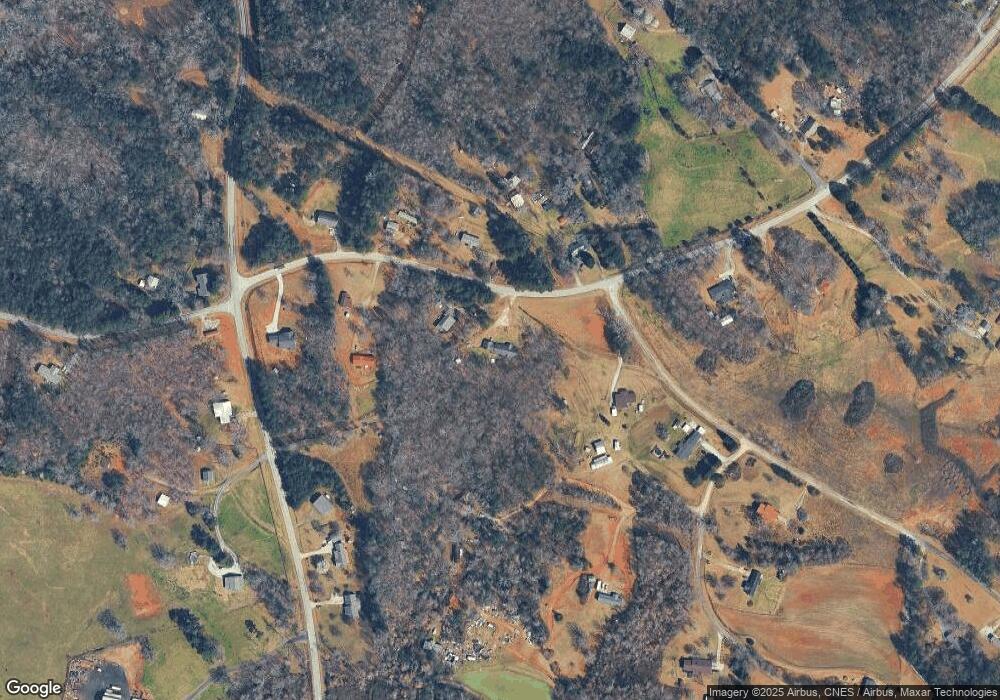
Map
Nearby Homes
- 871 W Leatherwood Rd
- 939 W Leatherwood Rd
- 915 W Leatherwood Rd
- 9369 Sherwood Ct
- 1662 Carnes Creek Rd
- 0 Highway 184 Unit 7606848
- 0 Highway 184 Unit 10547296
- 75 Cawthon Rd
- 184 Scott Cir
- 215 Old Mize Rd
- 383 Fieldale Rd
- 424 Law House Rd
- 334 Brock Rd
- 1387 Mize Rd
- 193 Tabitha Page Ln
- 5620 Mize Rd
- 151 Richardson St
- 16 Terri Ln
- 495 Racetrack Rd
- 561 Racetrack Rd
- 659 N Currahee Ln
- 590 N Currahee Ln
- 530 N Currahee Ln
- 12 Preacher Savage Rd
- 619 N Currahee Ln
- 619 N Currahee Ln
- 636 N Currahee Ln
- 1235 Nub Garland Rd
- 715 N Currahee Ln
- 52 Bart Holcomb Rd
- 18 Bart Holcomb Rd
- 700 N Currahee Ln
- 72 Bart Holcomb Rd
- 439 N Currahee Ln
- 0 Garland Rd and Mayes Rd Unit 3136857
- 1305 Nub Garland Rd
- 0 Holcomb Rd Unit 14+AC 7633635
- 82 Bart Holcomb Rd
- 1212 Nub Garland Rd
- 1335 Nub Garland Rd