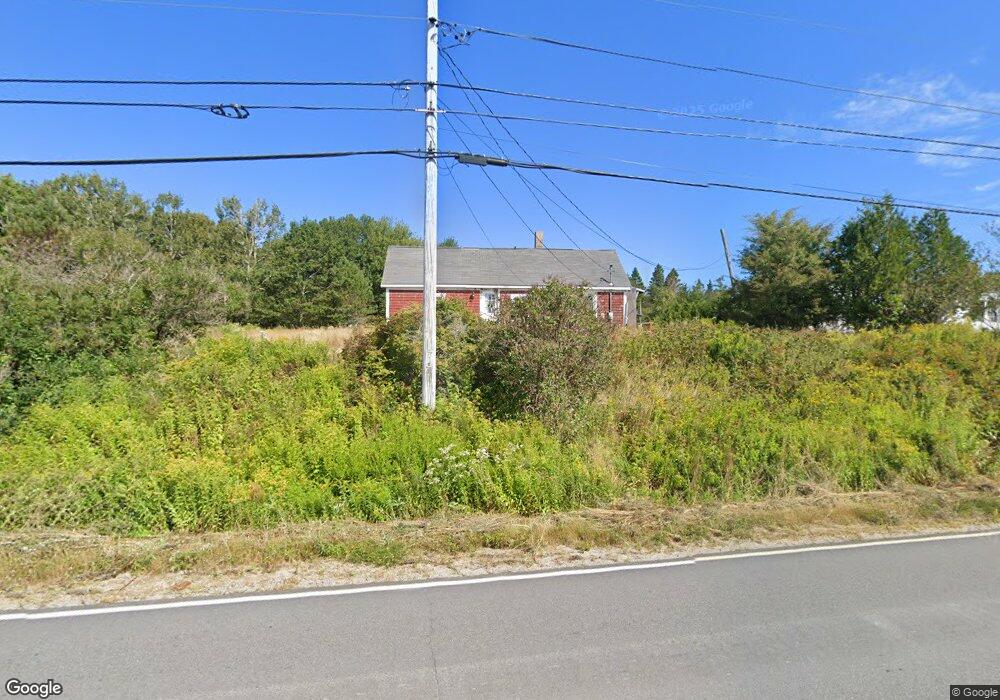
571 Port Rd MacHiasport, ME 04655
Estimated Value: $124,036 - $315,000
3
Beds
1
Bath
1,216
Sq Ft
$175/Sq Ft
Est. Value
About This Home
This home is located at 571 Port Rd, MacHiasport, ME 04655 and is currently estimated at $212,345, approximately $174 per square foot. 571 Port Rd is a home with nearby schools including Fort O'Brien School and Washington Academy.
Create a Home Valuation Report for This Property
The Home Valuation Report is an in-depth analysis detailing your home's value as well as a comparison with similar homes in the area
Home Values in the Area
Average Home Value in this Area
Tax History Compared to Growth
Tax History
| Year | Tax Paid | Tax Assessment Tax Assessment Total Assessment is a certain percentage of the fair market value that is determined by local assessors to be the total taxable value of land and additions on the property. | Land | Improvement |
|---|---|---|---|---|
| 2024 | $951 | $73,170 | $28,920 | $44,250 |
| 2023 | $857 | $67,990 | $26,720 | $41,270 |
| 2022 | $780 | $63,410 | $25,500 | $37,910 |
| 2021 | $691 | $63,410 | $25,500 | $37,910 |
| 2020 | $793 | $63,410 | $25,500 | $37,910 |
| 2019 | $777 | $45,161 | $13,971 | $31,190 |
| 2018 | $835 | $45,161 | $13,971 | $31,190 |
| 2017 | $790 | $45,161 | $13,971 | $31,190 |
| 2016 | $790 | $45,161 | $13,971 | $31,190 |
| 2015 | $822 | $45,161 | $13,971 | $31,190 |
| 2014 | $822 | $45,161 | $13,971 | $31,190 |
| 2013 | $817 | $45,161 | $13,971 | $31,190 |
Source: Public Records
Map
Nearby Homes
- 576 Port Rd
- MarkayEast Puffins Ln
- 1 Puffins Ln
- 76 Dunns Point Way
- 366 Port Rd
- 37 Corn Hill Rd
- 4-28 Old Town Rd Old County Rd Rd
- 33 Corn Hill Rd
- 12 W Palmer Rd
- 21-5-3 E Palmer Rd
- 85 E Side Rd
- Lot2A-2 Holway Rd
- 2-2A-001-A Holway Point Rd
- 80 Holmes Way
- 379 Cutler Rd
- 246 Marsh Stream Ln
- 321 Cutler Rd
- 285 & 291 Cutler Rd
- 191 Route 191 N
- 65 Lookout Mountain Rd