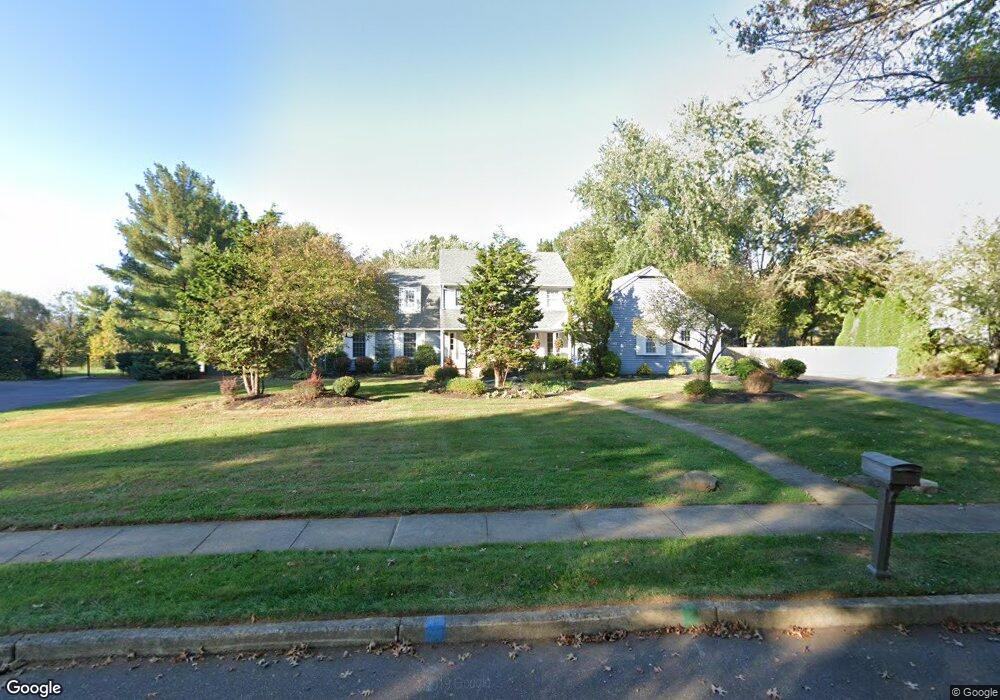
571 Sentinel Rd Moorestown, NJ 08057
Estimated Value: $1,108,258 - $1,250,000
Studio
--
Bath
3,455
Sq Ft
$341/Sq Ft
Est. Value
About This Home
This home is located at 571 Sentinel Rd, Moorestown, NJ 08057 and is currently estimated at $1,179,753, approximately $341 per square foot. 571 Sentinel Rd is a home located in Burlington County with nearby schools including George C. Baker Elementary School, Moorestown Upper Elementary School, and William Allen Middle School.
Ownership History
Date
Name
Owned For
Owner Type
Purchase Details
Closed on
May 3, 2007
Sold by
Reissmann Andreas J and Reissmann Deborah E
Bought by
Reissmann Deborah E and Rahn George E
Current Estimated Value
Home Financials for this Owner
Home Financials are based on the most recent Mortgage that was taken out on this home.
Original Mortgage
$280,000
Interest Rate
5.95%
Mortgage Type
Purchase Money Mortgage
Purchase Details
Closed on
Jul 1, 1999
Sold by
Andrews Paul T
Bought by
Reissmann Andreas J and Reissmann Deborah E
Home Financials for this Owner
Home Financials are based on the most recent Mortgage that was taken out on this home.
Original Mortgage
$200,000
Interest Rate
7.03%
Mortgage Type
Purchase Money Mortgage
Purchase Details
Closed on
May 23, 1996
Sold by
Smith Robert E and Smith Maria A
Bought by
Andrews Paul T
Create a Home Valuation Report for This Property
The Home Valuation Report is an in-depth analysis detailing your home's value as well as a comparison with similar homes in the area
Home Values in the Area
Average Home Value in this Area
Purchase History
| Date | Buyer | Sale Price | Title Company |
|---|---|---|---|
| Reissmann Deborah E | $316,875 | None Available | |
| -- | $316,900 | -- | |
| Reissmann Andreas J | $400,000 | Congress Title Corp | |
| Andrews Paul T | $425,000 | -- |
Source: Public Records
Mortgage History
| Date | Status | Borrower | Loan Amount |
|---|---|---|---|
| Closed | -- | $280,000 | |
| Previous Owner | Reissmann Andreas J | $200,000 |
Source: Public Records
Tax History
| Year | Tax Paid | Tax Assessment Tax Assessment Total Assessment is a certain percentage of the fair market value that is determined by local assessors to be the total taxable value of land and additions on the property. | Land | Improvement |
|---|---|---|---|---|
| 2025 | $18,361 | $647,200 | $235,800 | $411,400 |
| 2024 | $17,804 | $647,200 | $235,800 | $411,400 |
| 2023 | $17,804 | $647,200 | $235,800 | $411,400 |
| 2022 | $17,623 | $647,200 | $235,800 | $411,400 |
| 2021 | $17,390 | $647,200 | $235,800 | $411,400 |
| 2020 | $17,280 | $647,200 | $235,800 | $411,400 |
| 2019 | $16,976 | $647,200 | $235,800 | $411,400 |
| 2018 | $16,517 | $647,200 | $235,800 | $411,400 |
| 2017 | $16,659 | $647,200 | $235,800 | $411,400 |
| 2016 | $16,601 | $647,200 | $235,800 | $411,400 |
| 2015 | $16,400 | $647,200 | $235,800 | $411,400 |
| 2014 | $15,572 | $647,200 | $235,800 | $411,400 |
Source: Public Records
Map
Nearby Homes
- 628 Windsock Way
- 744 Signal Light Rd
- 49 Brooks Rd
- 863 Golf View Rd
- 437 Windrow Clusters Dr
- 740 Garwood Rd
- 212 Diane Ave
- 121 Congressional Ct
- 4327 Bridgeboro Rd
- 39 Bramley Rd
- 119 Linda Ave
- 347 Tom Brown Rd
- 343 Tom Brown Rd
- 751 Garwood Rd
- 4304 Bridgeboro Rd
- 451 E 2nd St
- 100 Diane Ave
- 205 E Central Ave
- 337 E 2nd St
- 635 E Main St Unit 14
- 569 Sentinel Rd
- 573 Sentinel Rd
- 567 Sentinel Rd
- 575 Sentinel Rd
- 572 Sentinel Rd
- 816 Joshua Ct
- 807 Westfield Rd
- 568 Sentinel Rd
- 574 Sentinel Rd
- 800 Joshua Ct
- 577 Sentinel Rd
- 565 Sentinel Rd
- 4 Sunset Ct
- 3 Sunset Ct
- 576 Sentinel Rd
- 564 Eaglebrook Dr
- 560 Eaglebrook Dr
- 814 Joshua Ct
- 563 Sentinel Rd
- 556 Eaglebrook Dr