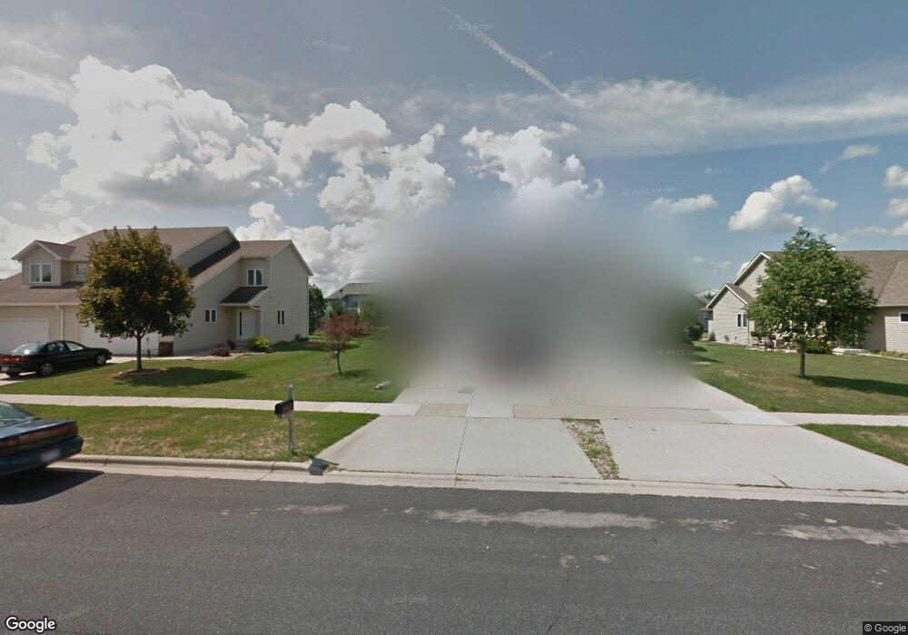
571 Tower Dr Sun Prairie, WI 53590
Northern Sun Prairie NeighborhoodEstimated Value: $434,000 - $630,000
--
Bed
4
Baths
2,704
Sq Ft
$192/Sq Ft
Est. Value
About This Home
This home is located at 571 Tower Dr, Sun Prairie, WI 53590 and is currently estimated at $520,085, approximately $192 per square foot. 571 Tower Dr is a home located in Dane County with nearby schools including Bird Elementary School, Patrick Marsh Middle School, and Peace Lutheran School & Prekindergarten.
Ownership History
Date
Name
Owned For
Owner Type
Purchase Details
Closed on
Apr 18, 2019
Sold by
Moret Guy and Moret Dawn
Bought by
Moret Dawn
Current Estimated Value
Purchase Details
Closed on
Jul 1, 2015
Sold by
Longley Aaron T and Longley Josalyn M
Bought by
Moret Guy and Moret Dawn
Home Financials for this Owner
Home Financials are based on the most recent Mortgage that was taken out on this home.
Original Mortgage
$231,350
Outstanding Balance
$180,140
Interest Rate
3.82%
Mortgage Type
New Conventional
Estimated Equity
$339,945
Create a Home Valuation Report for This Property
The Home Valuation Report is an in-depth analysis detailing your home's value as well as a comparison with similar homes in the area
Home Values in the Area
Average Home Value in this Area
Purchase History
| Date | Buyer | Sale Price | Title Company |
|---|---|---|---|
| Moret Dawn | -- | None Available | |
| Moret Guy | $308,500 | Attorney |
Source: Public Records
Mortgage History
| Date | Status | Borrower | Loan Amount |
|---|---|---|---|
| Open | Moret Guy | $231,350 |
Source: Public Records
Tax History Compared to Growth
Tax History
| Year | Tax Paid | Tax Assessment Tax Assessment Total Assessment is a certain percentage of the fair market value that is determined by local assessors to be the total taxable value of land and additions on the property. | Land | Improvement |
|---|---|---|---|---|
| 2024 | $8,712 | $435,300 | $59,700 | $375,600 |
| 2023 | $7,975 | $435,300 | $59,700 | $375,600 |
| 2021 | $8,126 | $365,900 | $59,400 | $306,500 |
| 2020 | $8,208 | $365,900 | $59,400 | $306,500 |
| 2019 | $7,850 | $308,800 | $53,000 | $255,800 |
| 2018 | $7,237 | $308,800 | $53,000 | $255,800 |
| 2017 | $6,892 | $308,800 | $53,000 | $255,800 |
| 2016 | $6,883 | $278,800 | $48,200 | $230,600 |
| 2015 | $6,662 | $278,800 | $48,200 | $230,600 |
| 2014 | $6,704 | $278,300 | $48,200 | $230,100 |
| 2013 | $7,898 | $278,300 | $48,200 | $230,100 |
Source: Public Records
Map
Nearby Homes
- 1048 Stonewood Crossing
- 208 Scenic Ct
- 856 Saint Albert the Great Dr Unit 856
- 706 Woodland Dr
- 1010 Andrews Dr
- 921 Pine St
- 633 Stonehaven Dr
- 1013 Vandenburg St
- 1171 School St Unit 1171
- 972 Chandler Ln Unit 972
- 994 Chandler Ln
- 952 Chandler Ln Unit 952
- 955 Liberty Blvd Unit 103
- 680 Stonehaven Dr
- 227 Windsor St
- 918 N Pine St
- 1325 Bunker Hill Dr Unit 3104
- 1046 Stonehaven Dr
- 1294 Saint Albert the Great Dr
- 1180 Patriot Way
- 559 Tower Dr
- 591 Tower Dr
- 1031 Fitness Run Unit 1
- 551 Tower Dr
- 1041 Fitness Run Unit 2
- 1009 Fitness Run
- 560 Tower Dr
- 1101 Fitness Run
- 1080 Fitness Run
- 1068 Fitness Run
- 601 Tower Dr
- 1060 Fitness Run
- 586 Athletic Way Unit 586
- 1048 Fitness Run
- 602 Tower Dr
- 1040 Fitness Run
- 1028 Fitness Run
- 1115 Fitness Run
- 1020 Fitness Run
- 1120 Fitness Run