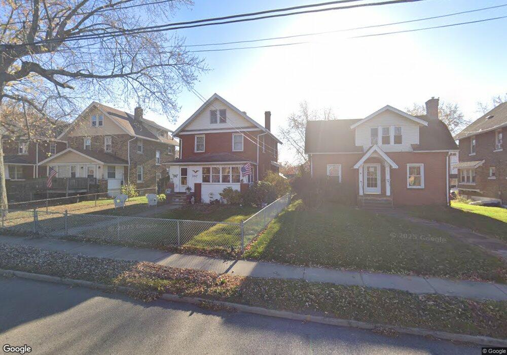
571 Wooster Rd N Barberton, OH 44203
North Barberton NeighborhoodEstimated Value: $142,537 - $181,000
3
Beds
1
Bath
1,540
Sq Ft
$105/Sq Ft
Est. Value
About This Home
This home is located at 571 Wooster Rd N, Barberton, OH 44203 and is currently estimated at $162,384, approximately $105 per square foot. 571 Wooster Rd N is a home located in Summit County with nearby schools including Barberton Middle School, Barberton High School, and St Augustine Elementary School.
Ownership History
Date
Name
Owned For
Owner Type
Purchase Details
Closed on
Nov 13, 2024
Sold by
Busson Shelly M
Bought by
Busson Shelly M and Busson Ralph M
Current Estimated Value
Purchase Details
Closed on
Sep 25, 2006
Sold by
Cross Thomas E and Cross Orva M
Bought by
Cross Orva M and Cross Thomas E
Create a Home Valuation Report for This Property
The Home Valuation Report is an in-depth analysis detailing your home's value as well as a comparison with similar homes in the area
Home Values in the Area
Average Home Value in this Area
Purchase History
| Date | Buyer | Sale Price | Title Company |
|---|---|---|---|
| Busson Shelly M | -- | None Listed On Document | |
| Busson Shelly M | -- | None Listed On Document | |
| Busson Shelly M | -- | None Listed On Document | |
| Cross Orva M | -- | None Available |
Source: Public Records
Tax History Compared to Growth
Tax History
| Year | Tax Paid | Tax Assessment Tax Assessment Total Assessment is a certain percentage of the fair market value that is determined by local assessors to be the total taxable value of land and additions on the property. | Land | Improvement |
|---|---|---|---|---|
| 2025 | $1,452 | $38,130 | $8,684 | $29,446 |
| 2024 | $1,452 | $38,130 | $8,684 | $29,446 |
| 2023 | $1,452 | $38,130 | $8,684 | $29,446 |
| 2022 | $857 | $23,531 | $5,296 | $18,235 |
| 2021 | $856 | $23,531 | $5,296 | $18,235 |
| 2020 | $838 | $23,540 | $5,300 | $18,240 |
| 2019 | $670 | $19,450 | $5,030 | $14,420 |
| 2018 | $660 | $19,450 | $5,030 | $14,420 |
| 2017 | $668 | $19,450 | $5,030 | $14,420 |
| 2016 | $670 | $19,450 | $5,030 | $14,420 |
| 2015 | $668 | $19,450 | $5,030 | $14,420 |
| 2014 | $665 | $19,450 | $5,030 | $14,420 |
| 2013 | $647 | $19,540 | $5,030 | $14,510 |
Source: Public Records
Map
Nearby Homes
- 613 Wooster Rd N
- 0 Wooster Rd N
- 217 W Summit St
- 320 Lincoln Ave Unit 322
- 412 Grandview Ave
- 39 Brown St
- 46 Brown St
- 344 E Huston St
- 645 Madison Ave
- 349 E Hopocan Ave
- 44 W Summit St
- 690 Saint Clair Ave
- 357 E Paige Ave
- 636 Wesleyan Ave
- 103 Mitchell St
- 589 Highland Ave
- 30 W Hiram St
- 387 4th St NW
- 334 E Tuscarawas Ave
- 261 E State St
- 567 Wooster Rd N
- 575 Wooster Rd N
- 563 Wooster Rd N
- 579 Wooster Rd N
- 583 Wooster Rd N
- 559 Wooster Rd N
- 569 Paul Place
- 573 Paul Place
- 565 Paul Place
- 577 Paul Place
- 561 Paul Place
- 570 Wooster Rd N
- 587 Wooster Rd N
- 555 Wooster Rd N
- 578 Wooster Rd N
- 581 Paul Place
- 557 Paul Place
- 574 Wooster Rd N
- 582 Wooster Rd N
- 126 Beech St