Estimated Value: $198,126 - $325,000
3
Beds
1
Bath
1,304
Sq Ft
$193/Sq Ft
Est. Value
About This Home
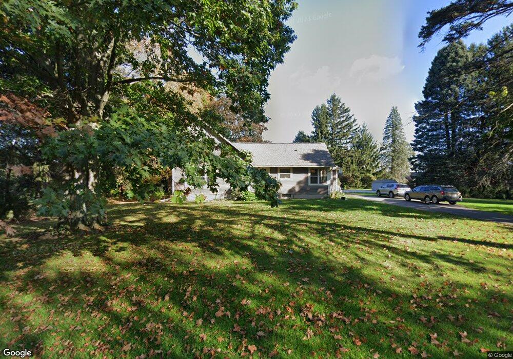
This home is located at 5710 Curtice Rd, Mason, MI 48854 and is currently estimated at $251,282, approximately $192 per square foot. 5710 Curtice Rd is a home located in Ingham County with nearby schools including Mason High School.
Ownership History
Date
Name
Owned For
Owner Type
Purchase Details
Closed on
May 17, 1999
Sold by
Moss Sharon and Dalziel Linda
Bought by
Clark Alexander I
Current Estimated Value
Home Financials for this Owner
Home Financials are based on the most recent Mortgage that was taken out on this home.
Original Mortgage
$74,600
Outstanding Balance
$19,116
Interest Rate
6.94%
Estimated Equity
$232,166
Purchase Details
Closed on
Apr 28, 1999
Sold by
Clark Gary L and Doreen Clark A
Bought by
Clark Alexander L
Home Financials for this Owner
Home Financials are based on the most recent Mortgage that was taken out on this home.
Original Mortgage
$74,600
Outstanding Balance
$19,116
Interest Rate
6.94%
Estimated Equity
$232,166
Create a Home Valuation Report for This Property
The Home Valuation Report is an in-depth analysis detailing your home's value as well as a comparison with similar homes in the area
Home Values in the Area
Average Home Value in this Area
Purchase History
| Date | Buyer | Sale Price | Title Company |
|---|---|---|---|
| Clark Alexander I | $93,250 | Metropolitan Title Company | |
| Clark Alexander L | -- | -- |
Source: Public Records
Mortgage History
| Date | Status | Borrower | Loan Amount |
|---|---|---|---|
| Open | Clark Alexander L | $74,600 |
Source: Public Records
Tax History Compared to Growth
Tax History
| Year | Tax Paid | Tax Assessment Tax Assessment Total Assessment is a certain percentage of the fair market value that is determined by local assessors to be the total taxable value of land and additions on the property. | Land | Improvement |
|---|---|---|---|---|
| 2025 | $2,422 | $90,100 | $21,000 | $69,100 |
| 2024 | $14 | $85,300 | $20,400 | $64,900 |
| 2023 | $2,282 | $75,800 | $13,500 | $62,300 |
| 2022 | $2,137 | $69,200 | $19,600 | $49,600 |
| 2021 | $2,105 | $64,800 | $0 | $64,800 |
| 2020 | $2,453 | $58,200 | $14,400 | $43,800 |
| 2019 | $2,386 | $58,100 | $14,100 | $44,000 |
| 2018 | $1,937 | $55,600 | $14,100 | $41,500 |
| 2017 | $1,696 | $55,600 | $14,100 | $41,500 |
| 2016 | -- | $52,800 | $14,100 | $38,700 |
| 2015 | -- | $51,200 | $28,280 | $22,920 |
| 2014 | -- | $48,600 | $28,280 | $20,320 |
Source: Public Records
Map
Nearby Homes
- 56 S Onondaga Rd
- 372 S Eifert Rd
- 6401 Curtice Rd
- 11249 Columbia Hwy
- 4789 Nichols Rd
- 943 S Michigan Rd
- 0 S Aurelius Rd Unit 292647
- 380 Spicetree Ln Unit 48
- 5594 Harper Rd
- 153 Primrose Ln
- 0 Eifert Rd
- 49 Lake Ridge Dr
- 1463 N Onondaga Rd
- Vl Gale Rd
- 1511 Antler Cir
- 4535 Harper Rd
- Parcel H Dawn Marie Ln
- Parcel B Dawn Marie Ln
- 2492 S Eifert Rd
- 1532 N Eifert Rd