Estimated Value: $263,456 - $308,000
2
Beds
2
Baths
1,300
Sq Ft
$218/Sq Ft
Est. Value
About This Home
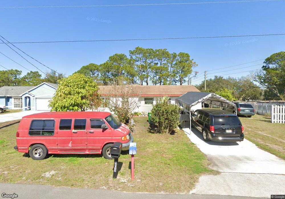
This home is located at 5710 Fairbridge St, Cocoa, FL 32927 and is currently estimated at $283,614, approximately $218 per square foot. 5710 Fairbridge St is a home located in Brevard County with nearby schools including Enterprise Elementary School, Space Coast Junior/Senior High School, and East Atlantic Prep of Brevard County.
Ownership History
Date
Name
Owned For
Owner Type
Purchase Details
Closed on
May 14, 2025
Sold by
Reginaldo Eufronio M
Bought by
Reginaldo Eufronio M and Reginaldo Ma Amelia
Current Estimated Value
Create a Home Valuation Report for This Property
The Home Valuation Report is an in-depth analysis detailing your home's value as well as a comparison with similar homes in the area
Home Values in the Area
Average Home Value in this Area
Purchase History
| Date | Buyer | Sale Price | Title Company |
|---|---|---|---|
| Reginaldo Eufronio M | $100 | None Listed On Document |
Source: Public Records
Tax History
| Year | Tax Paid | Tax Assessment Tax Assessment Total Assessment is a certain percentage of the fair market value that is determined by local assessors to be the total taxable value of land and additions on the property. | Land | Improvement |
|---|---|---|---|---|
| 2025 | $2,418 | $64,490 | -- | -- |
| 2024 | $2,402 | $62,680 | -- | -- |
| 2023 | $2,402 | $60,860 | -- | -- |
| 2022 | $2,375 | $59,090 | $0 | $0 |
| 2021 | $2,670 | $57,370 | $0 | $0 |
| 2020 | $2,622 | $56,580 | $0 | $0 |
| 2019 | $728 | $55,310 | $0 | $0 |
| 2018 | $726 | $54,280 | $0 | $0 |
| 2017 | $722 | $53,170 | $0 | $0 |
| 2016 | $637 | $52,080 | $18,000 | $34,080 |
| 2015 | $633 | $51,720 | $15,000 | $36,720 |
| 2014 | $634 | $51,310 | $11,000 | $40,310 |
Source: Public Records
Map
Nearby Homes
- 5721 Beaverbrook St
- 5680 Banos Ave
- 6481 La Brea Ave
- 6581 Bancroft Ave
- 6460 Ainsworth Rd
- 6643 Emil Ave
- 0 Aruin St Unit 1222557
- 6438 Hudson Rd
- 6460 Homestead Ave
- 23-35-21-JX-B-2 Aruin St
- 6545 Addie Ave
- 6615 Dock Ave
- 6250 Ainsworth Rd
- 6450 Ember Ave
- 6135 Allmont St
- 5680 Brandon St
- 5555 Brandon St
- 6760 Cairo Rd
- 6815 Bryant Rd
- 00 Unknown
- 5720 Fairbridge St
- 5680 Fairbridge St
- 5730 Fairbridge St
- 5661 Curtis Blvd
- 5685 Fairbridge St
- 5725 Fairbridge St
- 5665 Curtis Blvd
- 5645 Curtis Blvd
- 5660 Fairbridge St
- 5665 Fairbridge St
- 5740 Fairbridge St
- 5735 Fairbridge St
- 5675 Curtis Blvd
- 5625 Curtis Blvd
- 5696 Beaverbrook St
- 5645 Fairbridge St
- 5640 Fairbridge St
- 5745 Fairbridge St
- 5684 Beaverbrook St
- 5708 Beaverbrook St
Your Personal Tour Guide
Ask me questions while you tour the home.