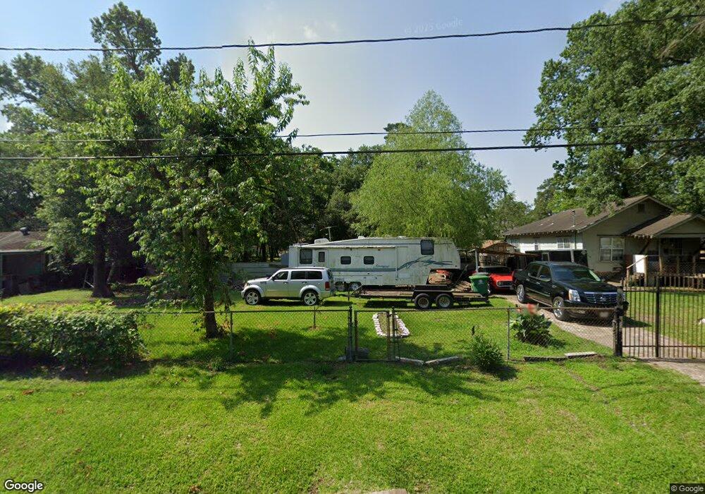
5710 Westbrook Rd Houston, TX 77016
East Little York NeighborhoodEstimated Value: $111,417 - $264,000
3
Beds
1
Bath
1,972
Sq Ft
$98/Sq Ft
Est. Value
About This Home
This home is located at 5710 Westbrook Rd, Houston, TX 77016 and is currently estimated at $193,354, approximately $98 per square foot. 5710 Westbrook Rd is a home located in Harris County with nearby schools including Shadydale Elementary School, Forest Brook Middle, and North Forest High School.
Ownership History
Date
Name
Owned For
Owner Type
Purchase Details
Closed on
Jul 5, 2022
Sold by
Ernest Jackson Jr
Bought by
Jackson Tia
Current Estimated Value
Purchase Details
Closed on
Jun 20, 2022
Sold by
Tia Jackson
Bought by
Jackson Ernest
Purchase Details
Closed on
Dec 26, 2021
Sold by
Jackson Sanders Debra
Bought by
Jackson Ernest
Purchase Details
Closed on
Dec 25, 2020
Sold by
Austin Jackson Florence Eugene
Bought by
Jackson Tia
Create a Home Valuation Report for This Property
The Home Valuation Report is an in-depth analysis detailing your home's value as well as a comparison with similar homes in the area
Home Values in the Area
Average Home Value in this Area
Purchase History
| Date | Buyer | Sale Price | Title Company |
|---|---|---|---|
| Jackson Tia | -- | None Listed On Document | |
| Jackson Ernest | -- | None Listed On Document | |
| Jackson Ernest | -- | None Listed On Document | |
| Jackson Tia | -- | None Listed On Document | |
| Jackson Tia | -- | None Listed On Document | |
| Jackson Ernest | -- | None Listed On Document |
Source: Public Records
Tax History Compared to Growth
Tax History
| Year | Tax Paid | Tax Assessment Tax Assessment Total Assessment is a certain percentage of the fair market value that is determined by local assessors to be the total taxable value of land and additions on the property. | Land | Improvement |
|---|---|---|---|---|
| 2025 | $877 | $60,931 | $57,544 | $3,387 |
| 2024 | $877 | $53,506 | $50,119 | $3,387 |
| 2023 | $877 | $34,943 | $31,556 | $3,387 |
| 2022 | $769 | $34,943 | $31,556 | $3,387 |
| 2021 | $3,047 | $130,716 | $63,450 | $67,266 |
| 2020 | $2,798 | $115,538 | $63,450 | $52,088 |
| 2019 | $2,327 | $91,964 | $44,415 | $47,549 |
| 2018 | $1,977 | $76,938 | $37,013 | $39,925 |
| 2017 | $1,945 | $76,938 | $37,013 | $39,925 |
| 2016 | $1,571 | $62,133 | $22,208 | $39,925 |
| 2015 | $700 | $44,371 | $15,593 | $28,778 |
| 2014 | $700 | $44,371 | $15,593 | $28,778 |
Source: Public Records
Map
Nearby Homes
- 5418 Parker Rd
- 5621 Haywood St
- 5914 Breland St
- 5203 Mayle St
- 5125 Mayle St
- 7902 S Lockwood Dr
- 5713 Rietta St
- 5715 Rietta St
- 5413 Glen Nook Dr
- 0 Haywood St Unit 63273227
- 7631 Hirsch Rd
- 9711 Bertwood St
- 4708 Antha St
- 9705 Peachtree St
- 9838 Camay Dr
- 5123 Francine Ln
- 9603 Bertwood St
- 5130 Farb Dr
- 5022 Bretshire Dr
- 6001 Bretshire Dr
- 5620 Westbrook Rd
- 5618 Westbrook Rd
- 5714 Westbrook Rd
- 5619 Pate Rd
- 5626 Pate
- 5630 Pate
- 5614 Westbrook Rd
- 5718 Westbrook Rd
- 5623 Pate Rd
- 5621 Westbrook Rd
- 5625 Westbrook Rd
- 5617 Westbrook Rd
- 5726 Parker Rd
- 5722 Westbrook Rd
- 5722 Westbrook Rd
- 5606 Westbrook Rd
- 5613 Westbrook Rd
- 5607 Pate Rd
- 5709 Pate Rd
- 5605 Westbrook Rd